Last Updated: 25th Jul 2024
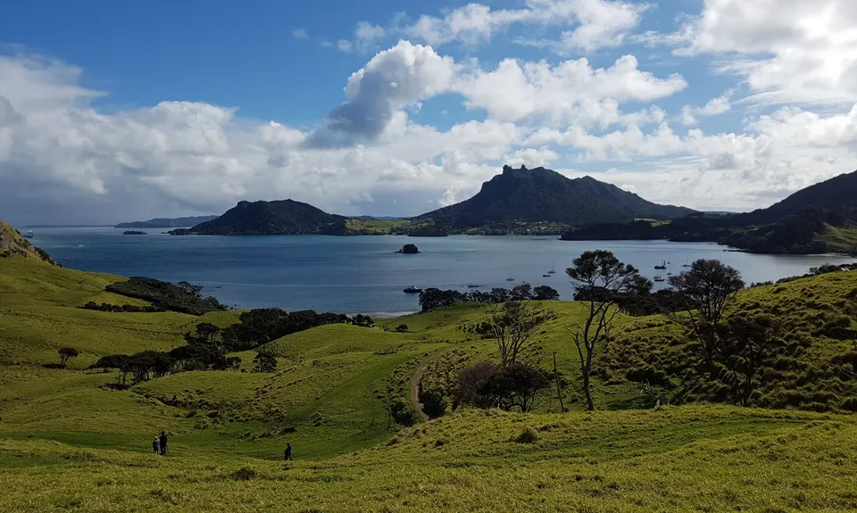
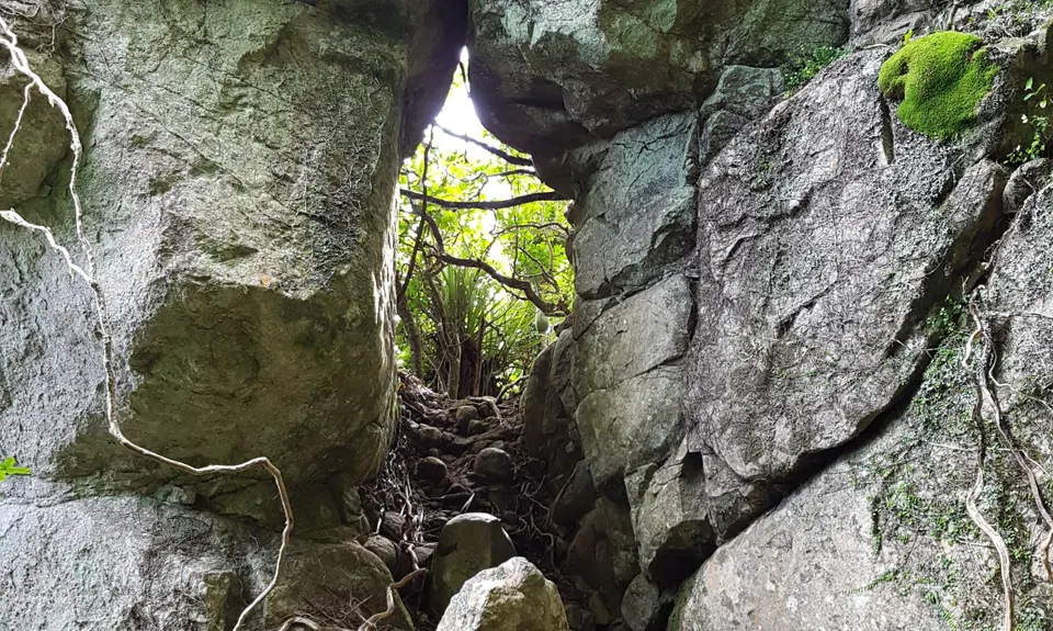
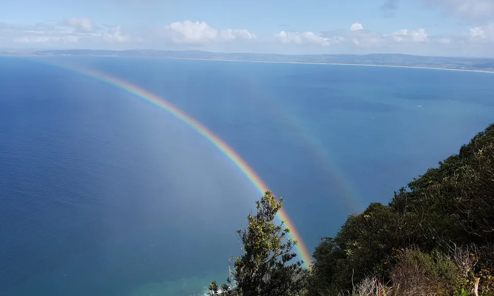
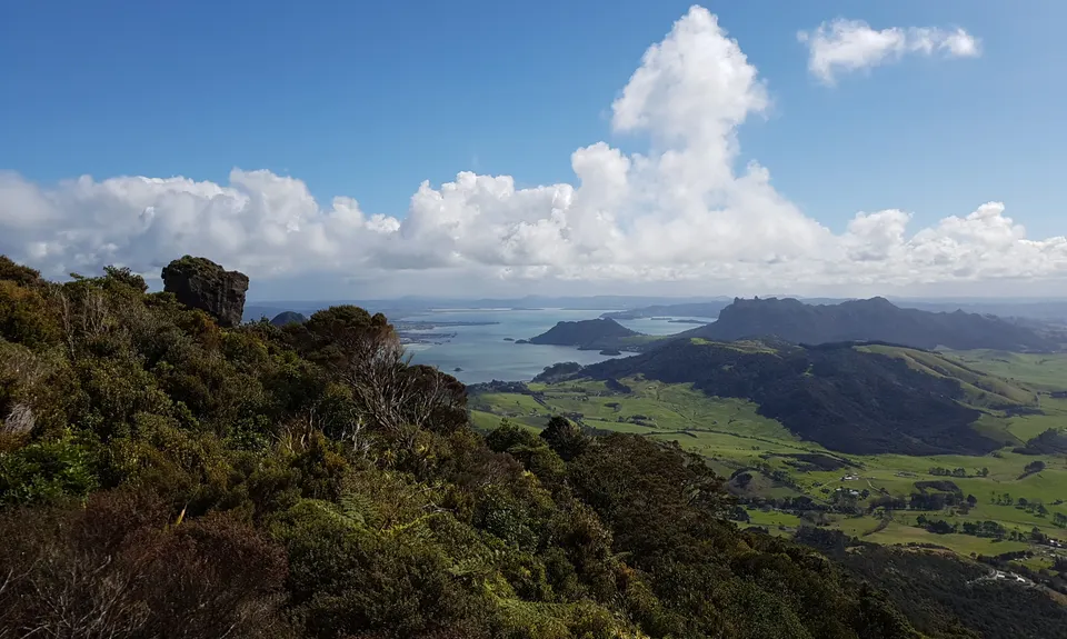
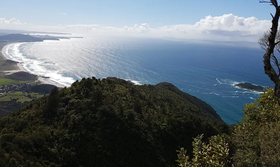
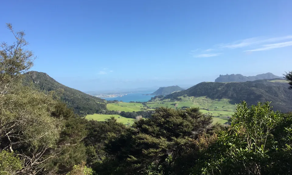
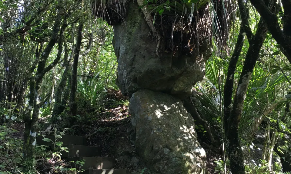
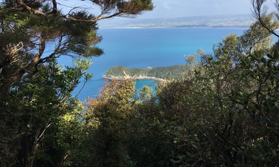
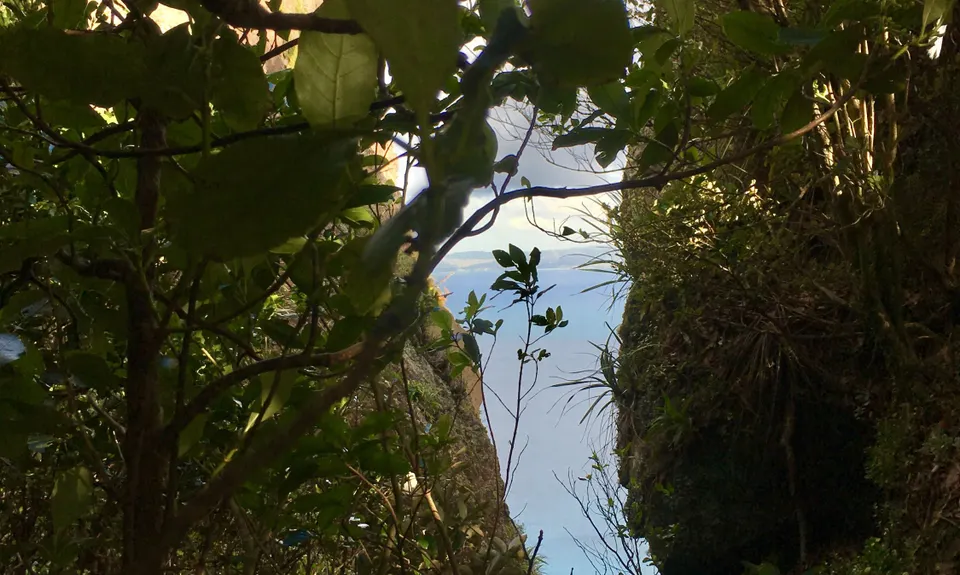
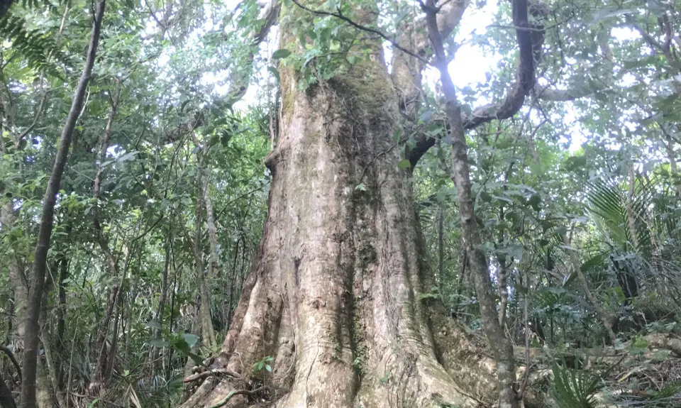
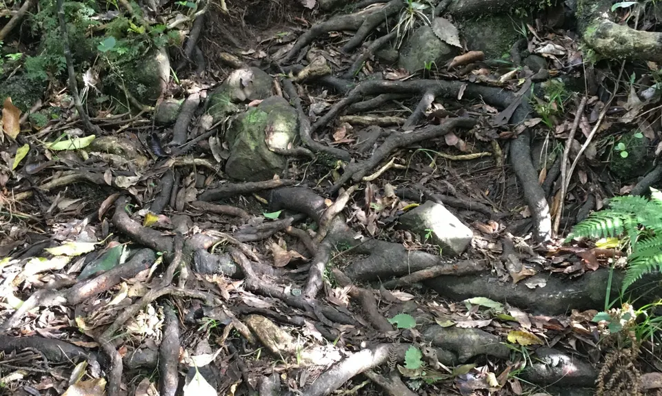
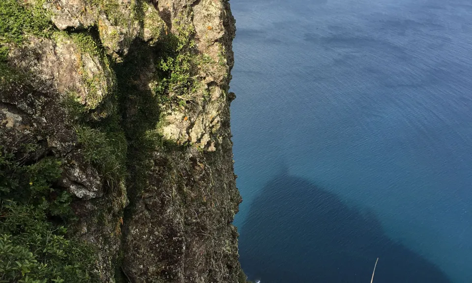
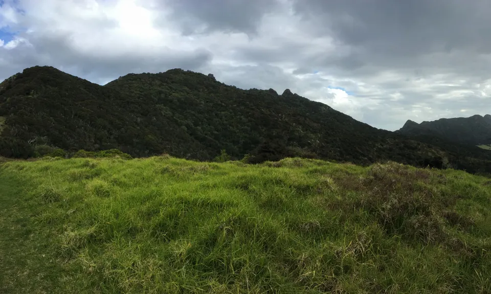
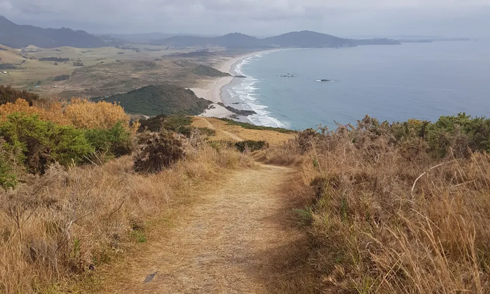
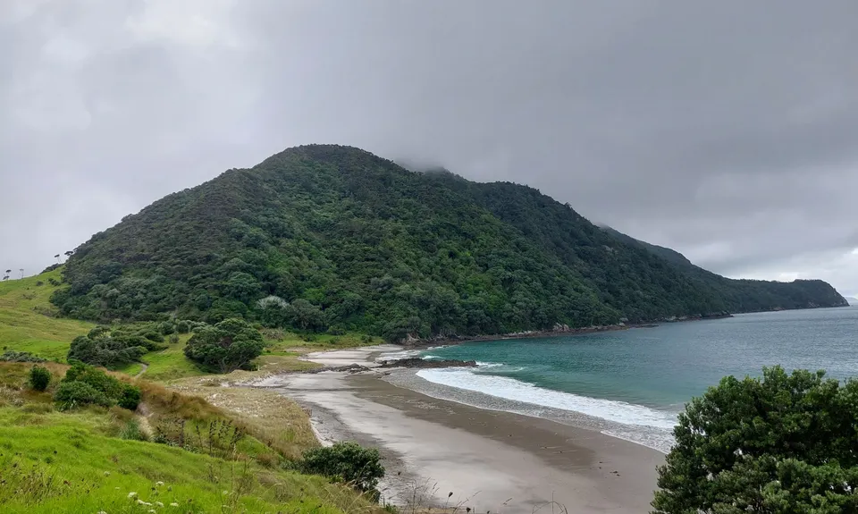
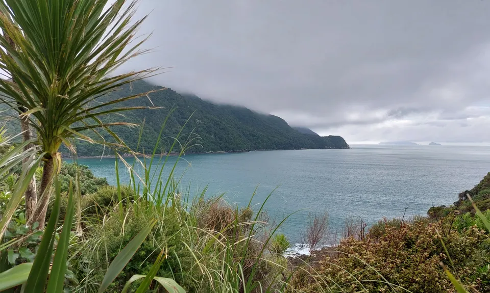
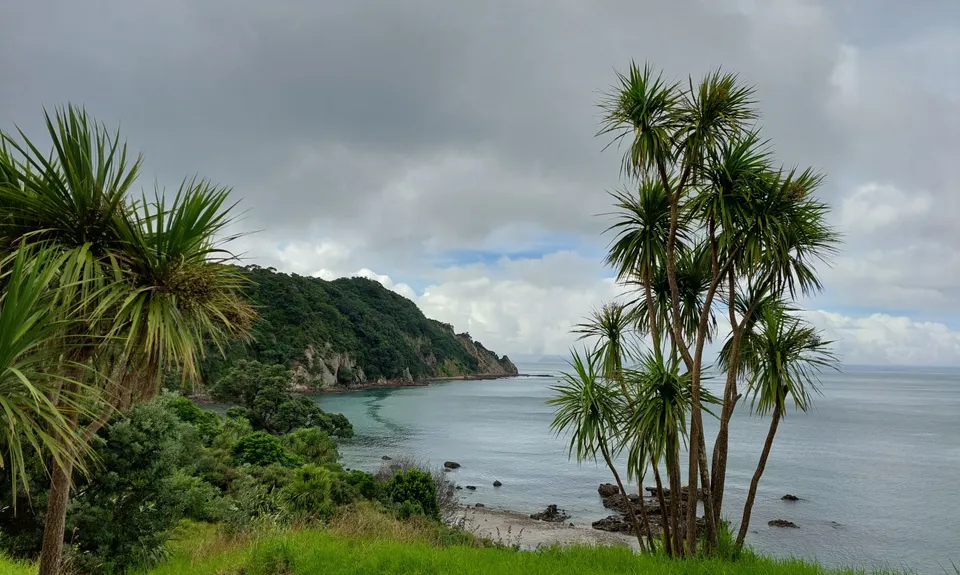
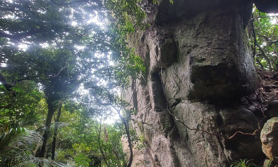
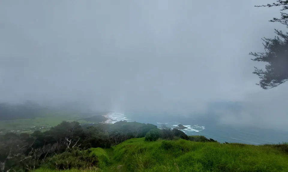
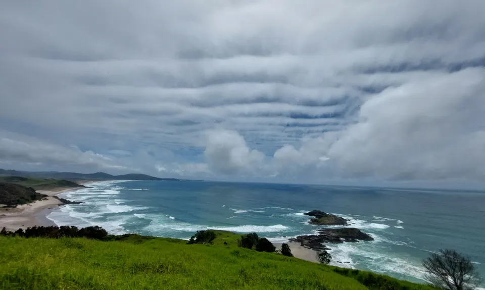
Bream Head Te Whara Trail
Last Updated: 25th Jul 2024
Open
Grunt Factor: 33 ?
Gnarl Factor: 51 ?
17.7km
1135m
1135m
416m

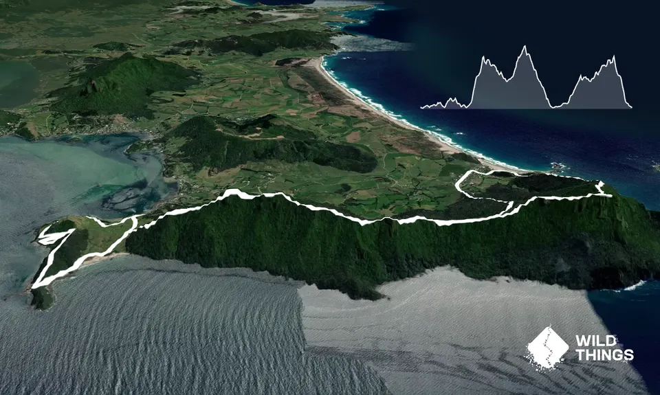
Trail Map
This Topo layer only covers NSW/ACT.
Switch to another map layer when viewing outside this area.
Switch to another map layer when viewing outside this area.


