Last Updated: 25th Sep 2023
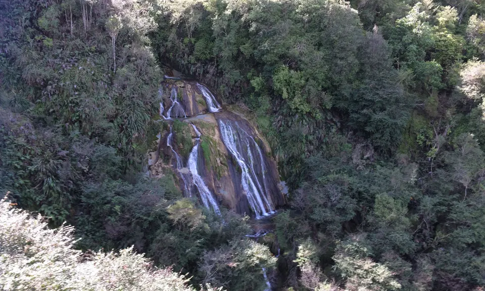
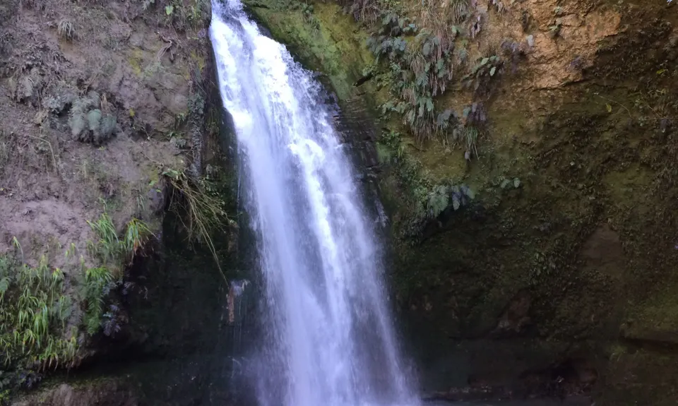
Tangoio Tumbler
Last Updated: 25th Sep 2023
Closed More info
Track is closed, parking area is coned off and being used by the roading repair crews post flooding. Google maps has the track as 'closed temporarily'.
Please notify us if this has changed.
Grunt Factor: 15 ?
Gnarl Factor: 44 ?
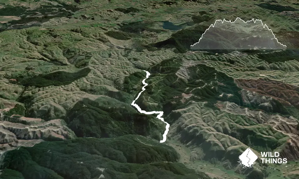
9.7km
350m
350m
284m
Trail Map
This Topo layer only covers NSW/ACT.
Switch to another map layer when viewing outside this area.
Switch to another map layer when viewing outside this area.


