Last Updated: 2nd May 2024
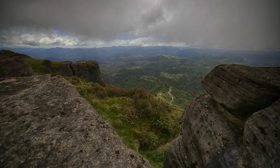
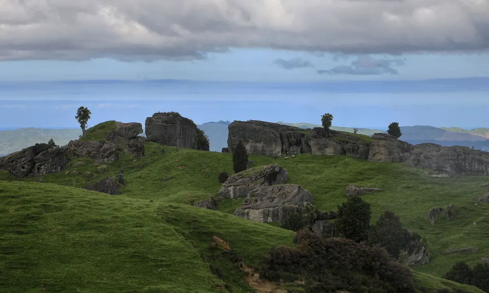
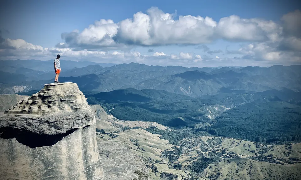
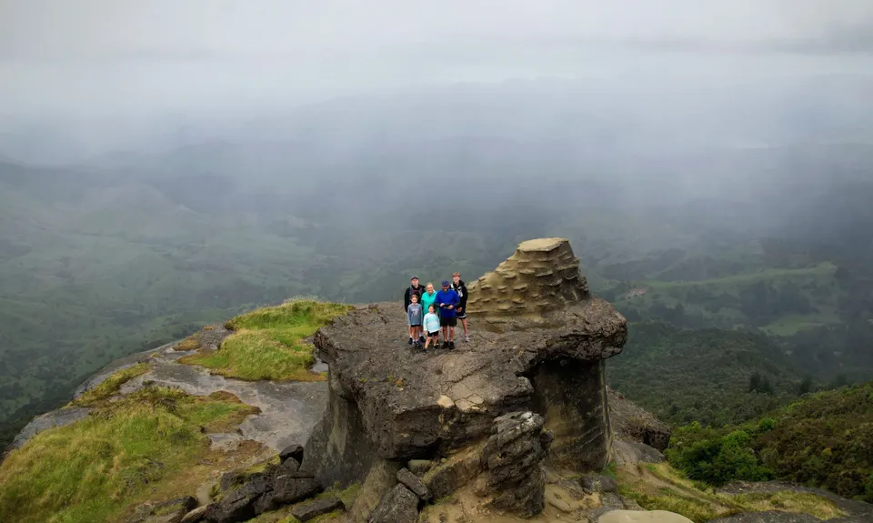
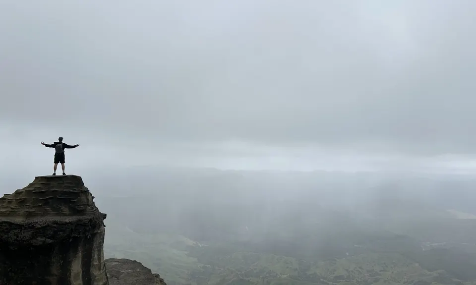
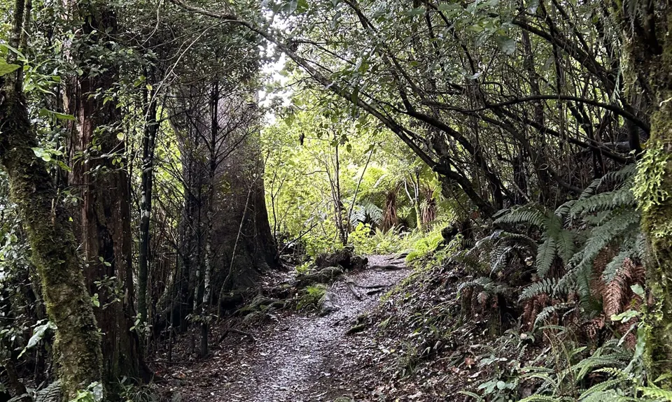
Bell Hill Loop
Last Updated: 2nd May 2024
Open
Grunt Factor: 14 ?
Gnarl Factor: 33 ?
7.5km
450m
450m
1036m
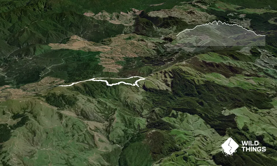
Trail Map
This Topo layer only covers NSW/ACT.
Switch to another map layer when viewing outside this area.
Switch to another map layer when viewing outside this area.


