Last Updated: 23rd Sep 2025
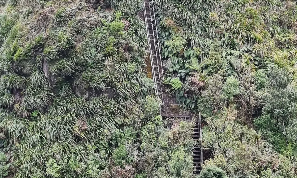
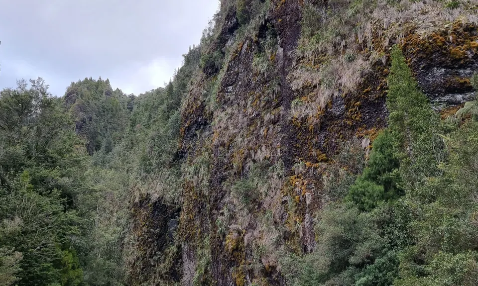
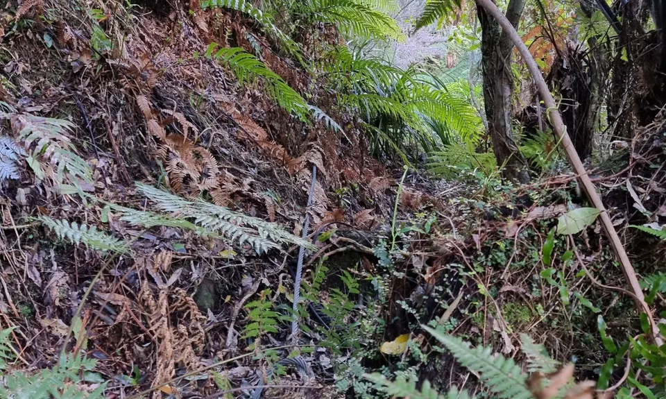
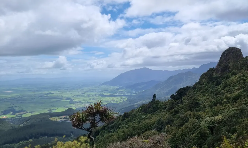
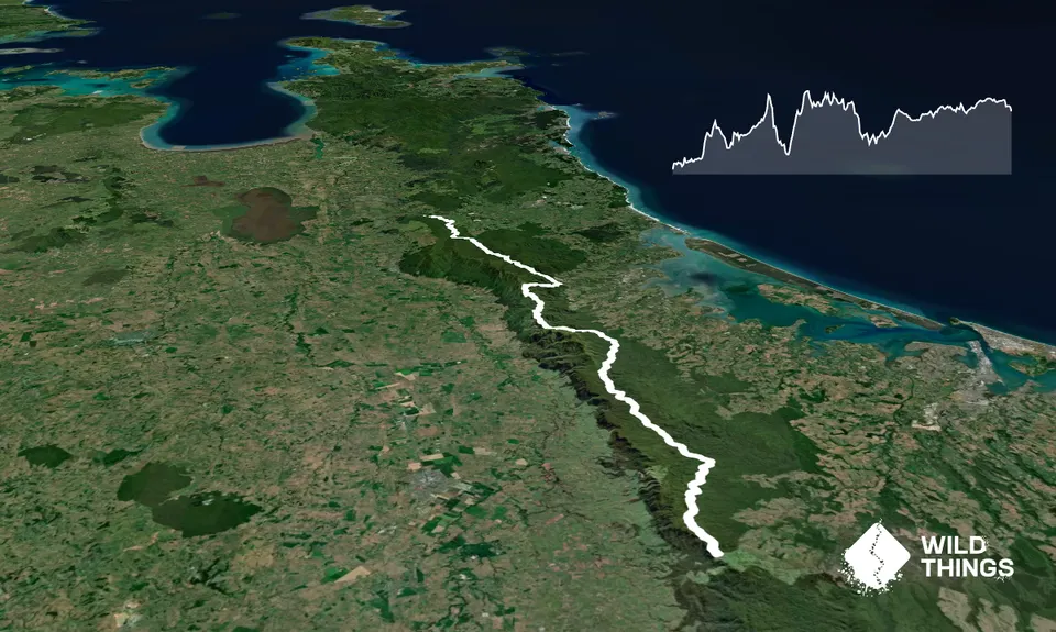
Kaimai Ranges North-South Track
Last Updated: 23rd Sep 2025
Open
Grunt Factor: 162 ?
Gnarl Factor: 59 ?
85.0km
5205m
4710m
Trail Map
This Topo layer only covers NSW/ACT.
Switch to another map layer when viewing outside this area.
Switch to another map layer when viewing outside this area.


