Last Updated: 6th Apr 2024
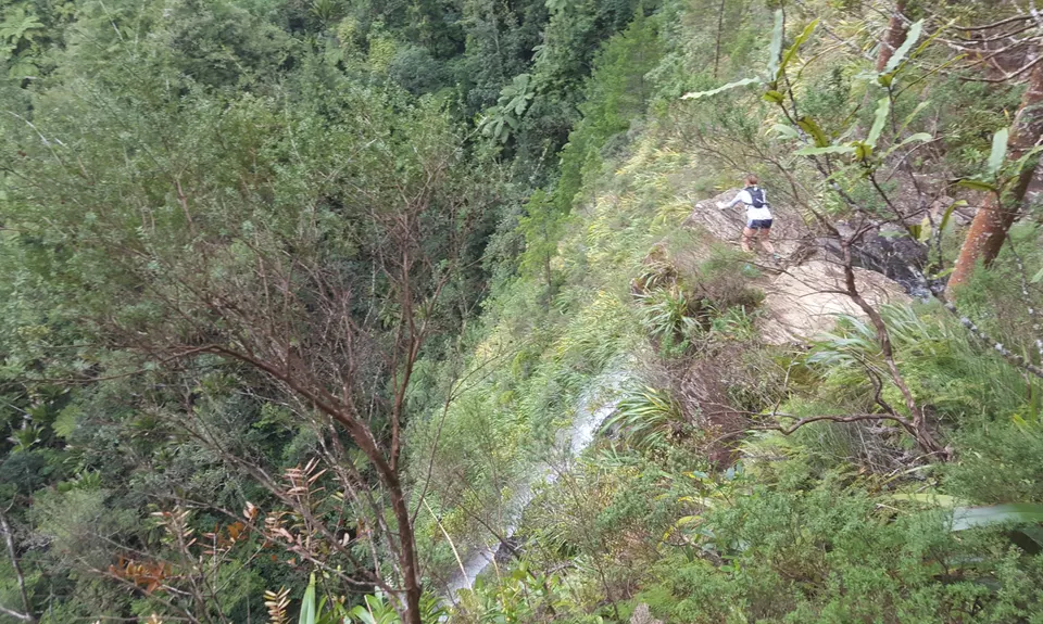
Ananui Falls
Last Updated: 6th Apr 2024
Closed More info
Closed until further notice due to kauri dieback. If you become aware of it re-opening please let us know.
Please notify us if this has changed.
Grunt Factor: 19 ?
Gnarl Factor: 58 ?
11.0km
440m
440m
390m
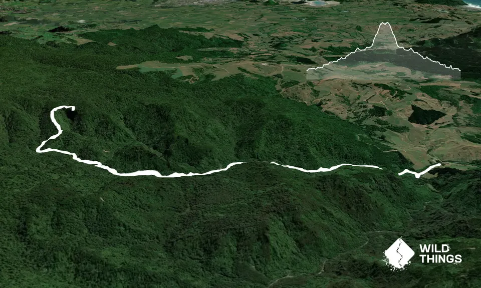
Trail Map
This Topo layer only covers NSW/ACT.
Switch to another map layer when viewing outside this area.
Switch to another map layer when viewing outside this area.


