Last Updated: 23rd Jun 2026
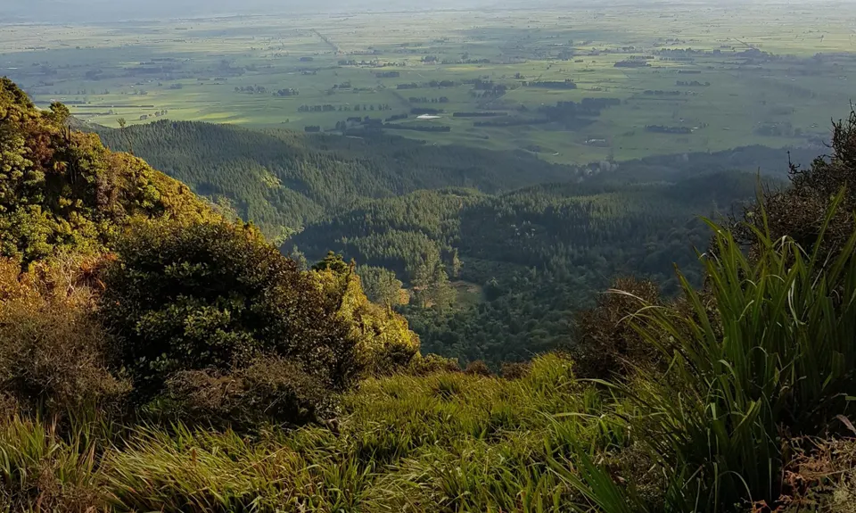
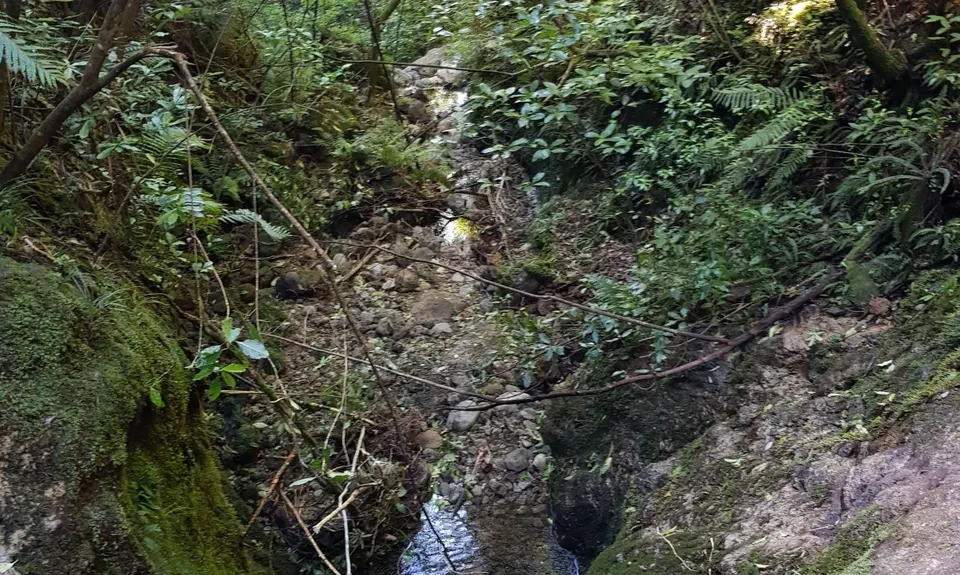
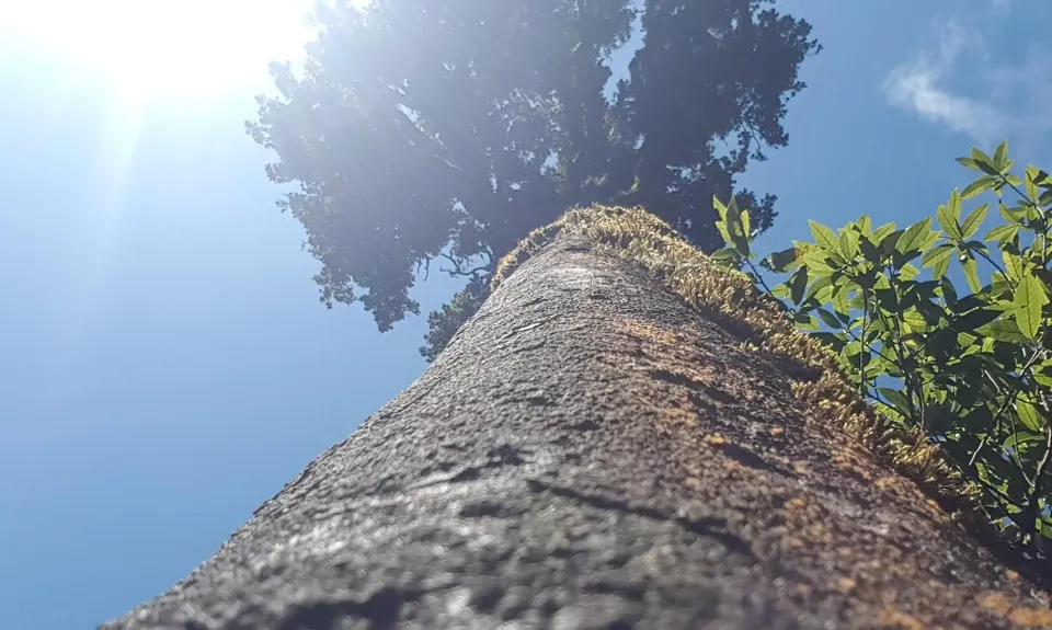
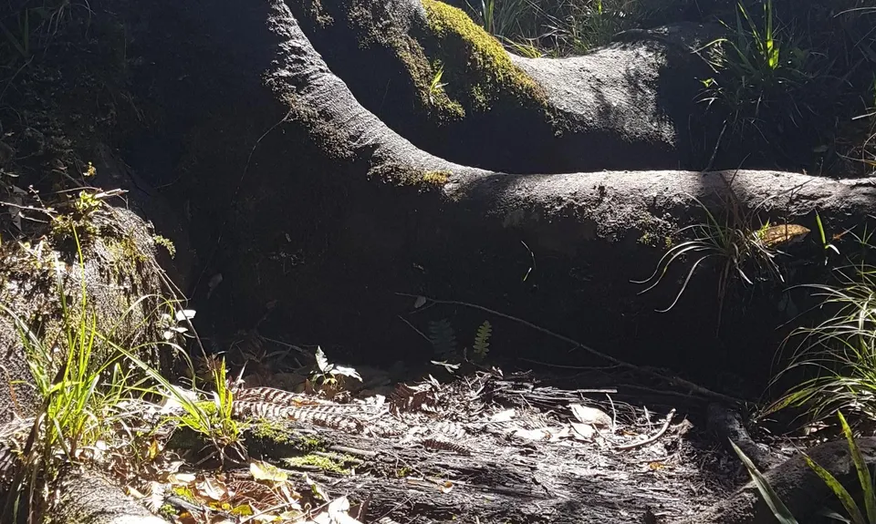
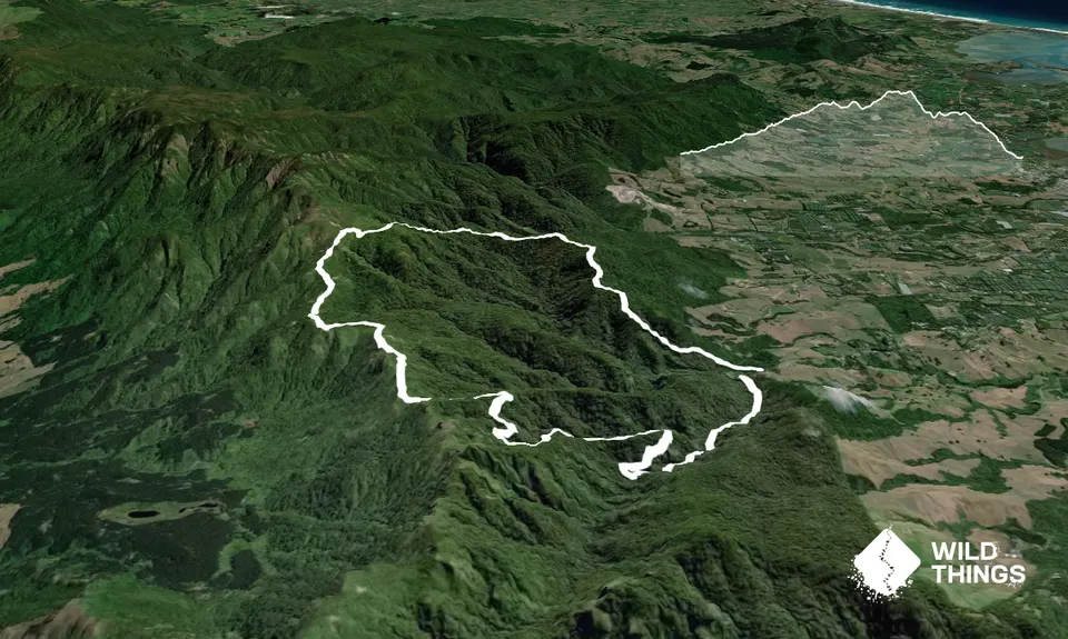
Hot Springs Loop
Tuahau Track, North South Track
Last Updated: 23rd Jun 2026
Grunt Factor: 28 ?
Gnarl Factor: 68 ?
14.0km
780m
780m
650m

Trail Map
This Topo layer only covers NSW/ACT.
Switch to another map layer when viewing outside this area.
Switch to another map layer when viewing outside this area.


