Last Updated: 27th May 2025
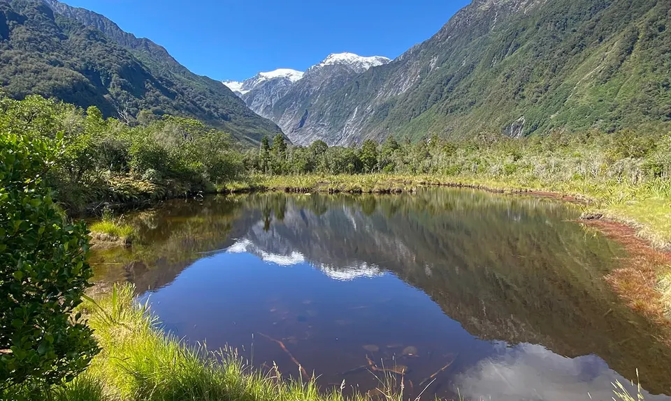
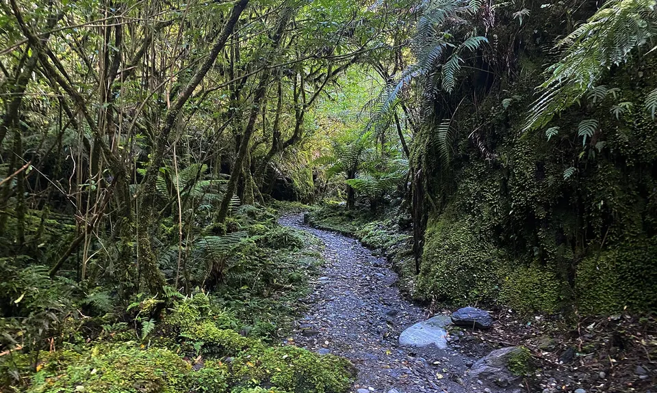
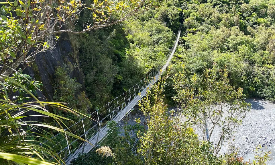
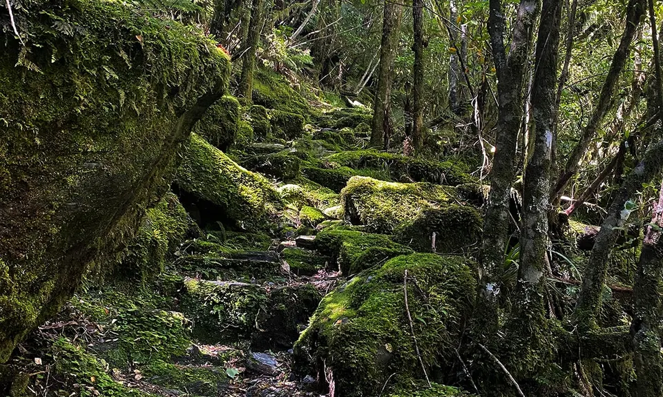
Roberts Point Track
Last Updated: 27th May 2025
Open
Grunt Factor: 24 ?
Gnarl Factor: 59 ?
12.0km
650m
650m
604m
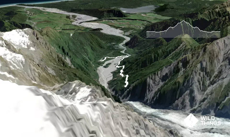
Trail Map
This Topo layer only covers NSW/ACT.
Switch to another map layer when viewing outside this area.
Switch to another map layer when viewing outside this area.


