Last Updated: 21st Sep 2023
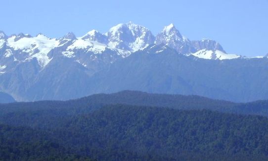
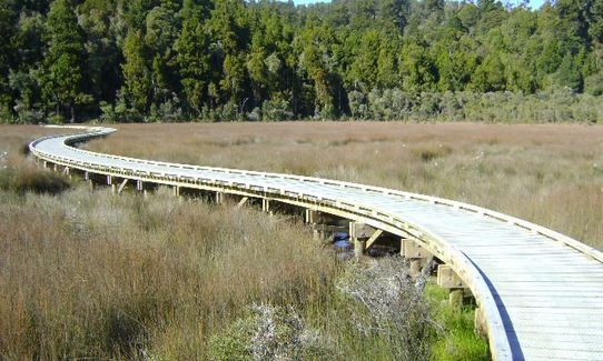
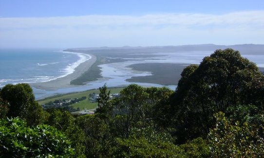
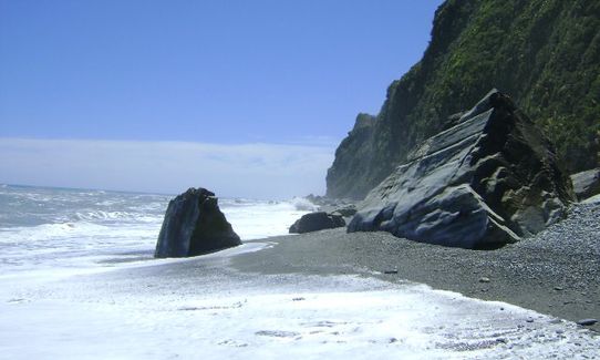
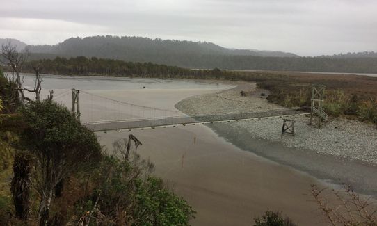
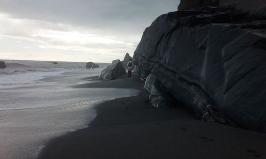
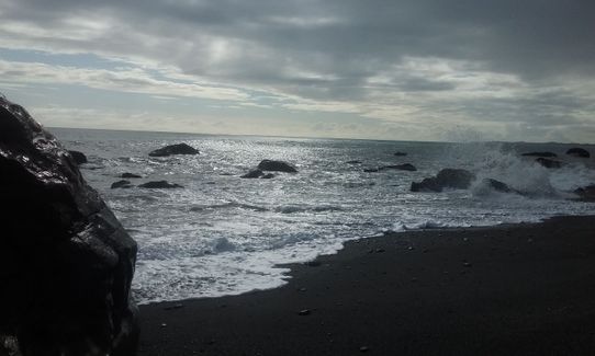
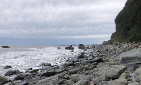
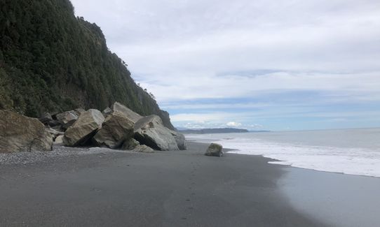
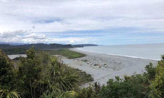
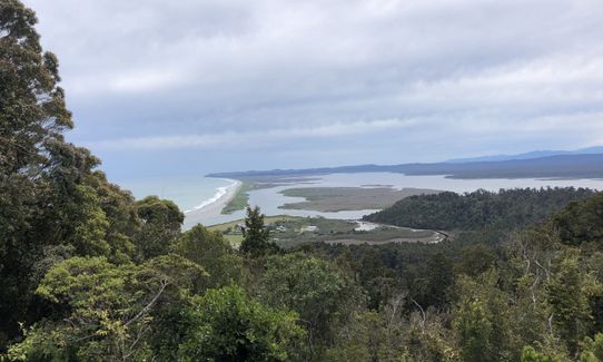
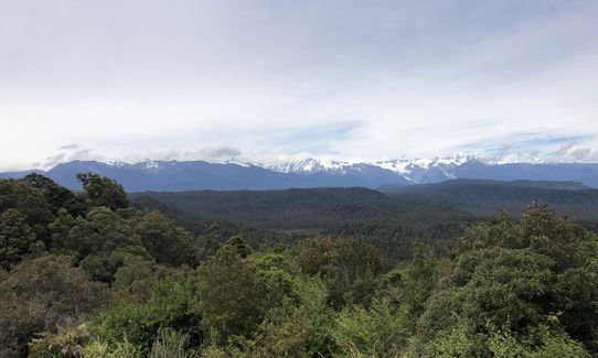
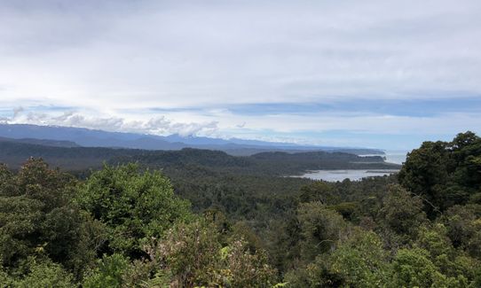
Okarito Majesty
Last Updated: 21st Sep 2023
Open
Grunt Factor: 24 ?
Gnarl Factor: 65 ?
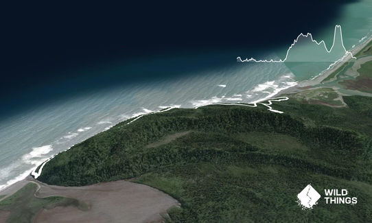
9.3km
270m
270m
161m
Trail Map
This Topo layer only covers NSW/ACT.
Switch to another map layer when viewing outside this area.
Switch to another map layer when viewing outside this area.


