Last Updated: 29th Jun 2026
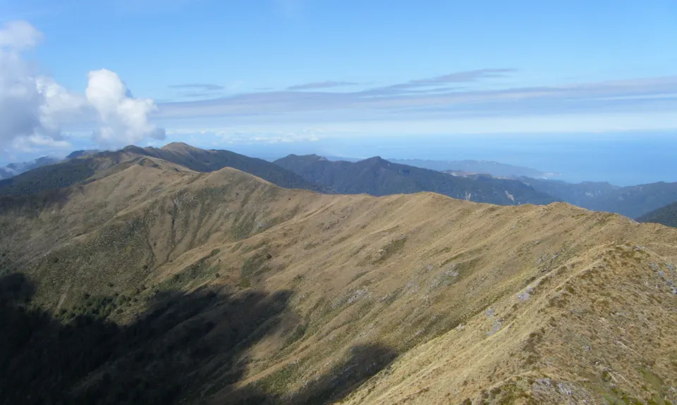
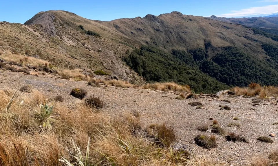
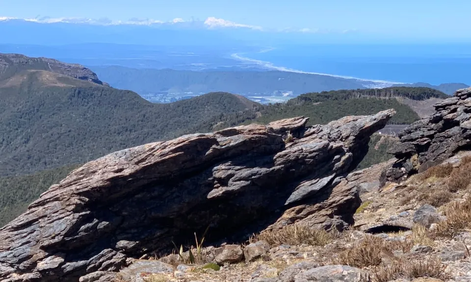
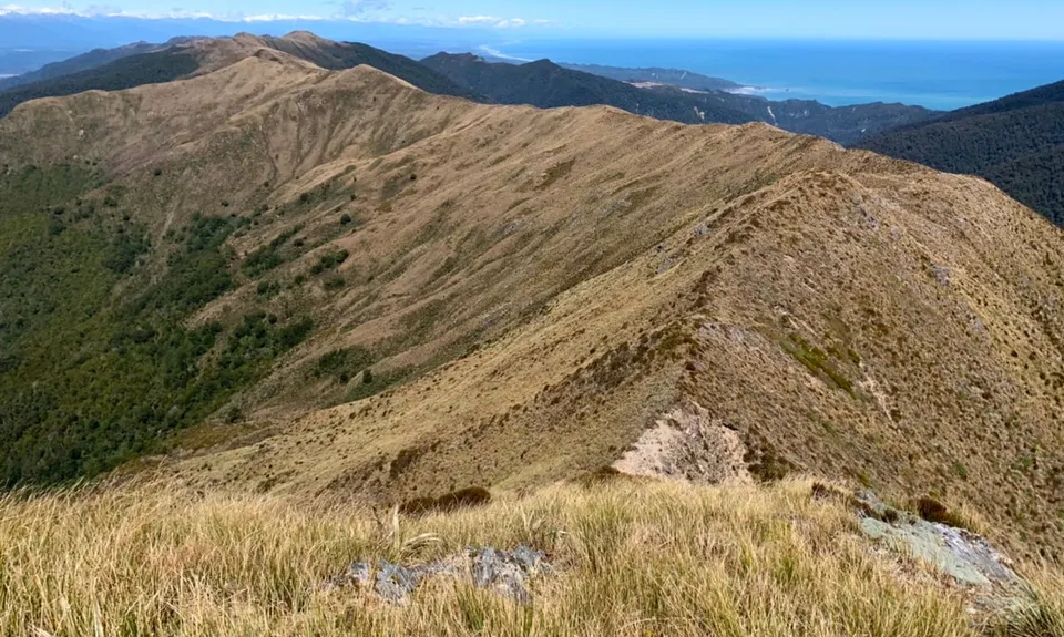
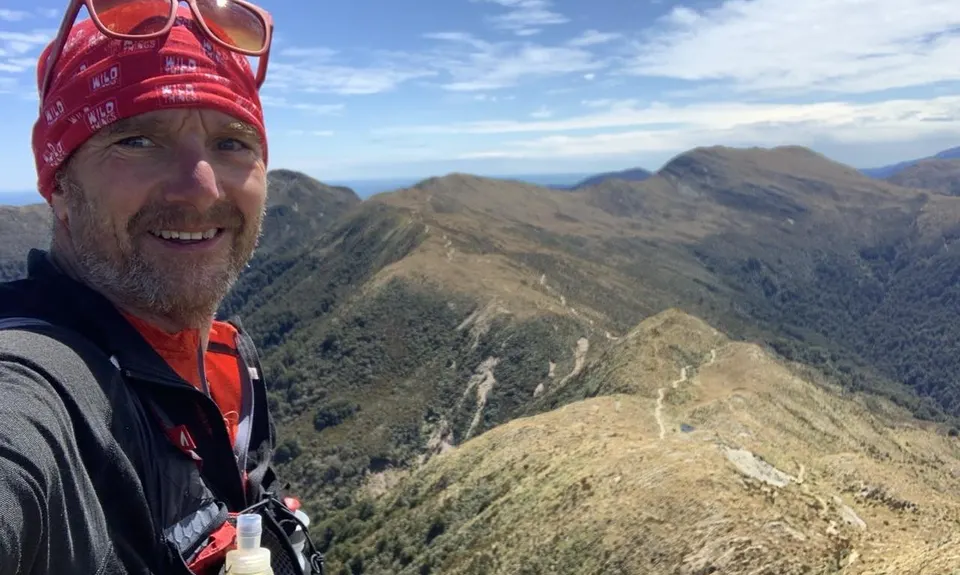
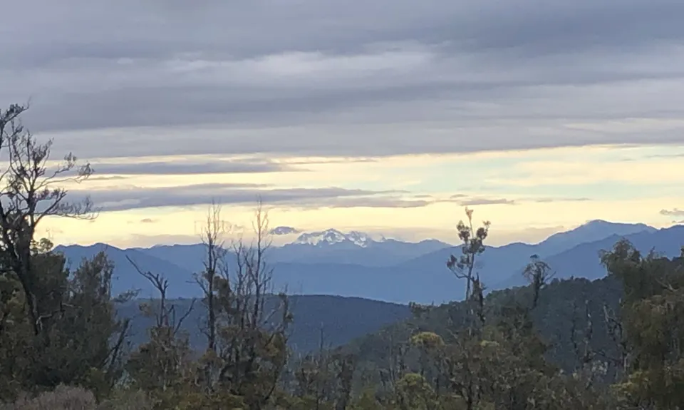
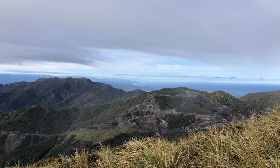
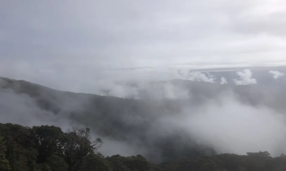
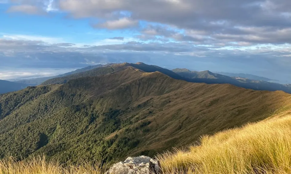
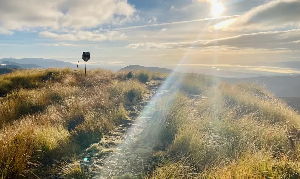
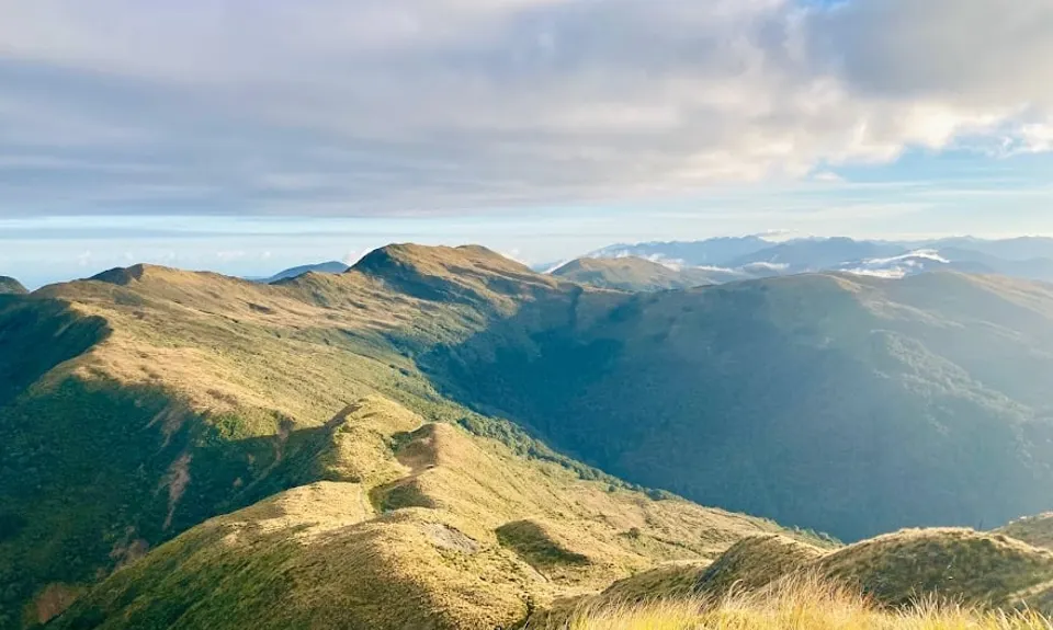
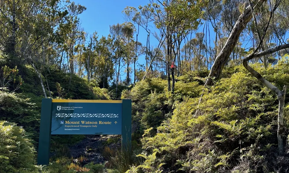
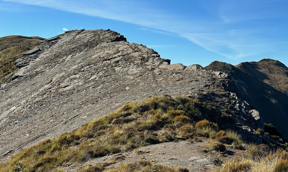
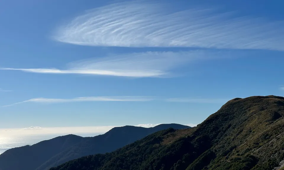
Mt Watson Croesus Loop
Last Updated: 29th Jun 2026
Open
Grunt Factor: 53 ?
Gnarl Factor: 68 ?
21.6km
1250m
1250m
1137m
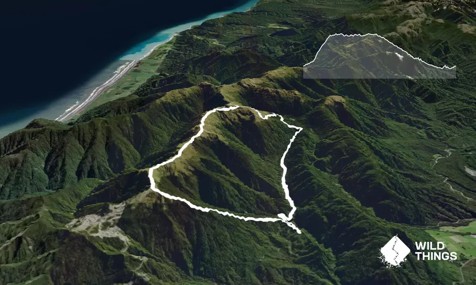
Trail Map
This Topo layer only covers NSW/ACT.
Switch to another map layer when viewing outside this area.
Switch to another map layer when viewing outside this area.


