Last Updated: 7th Mar 2025
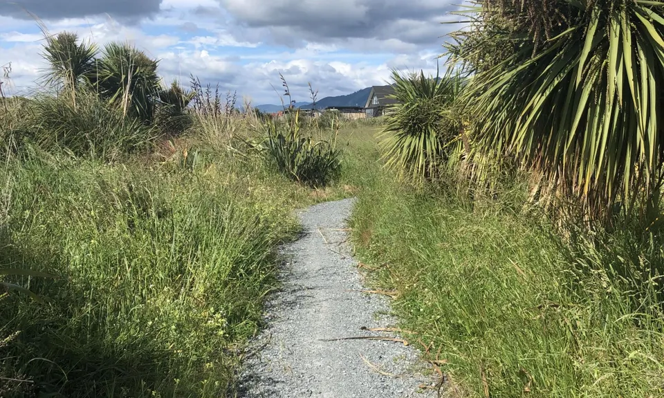
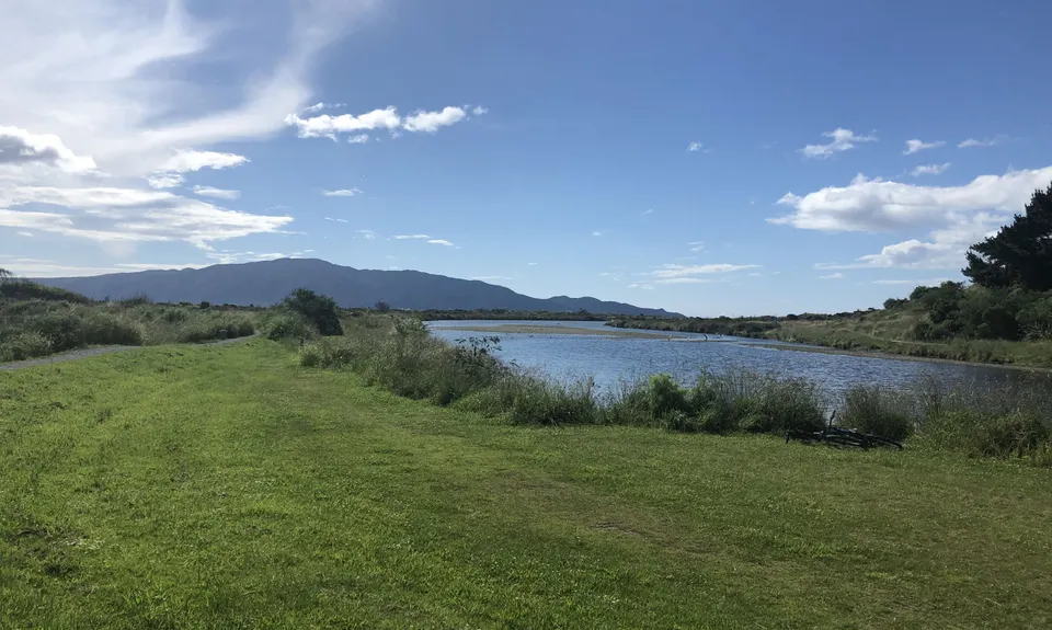
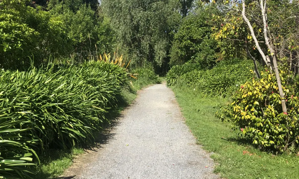
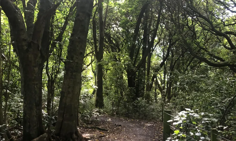
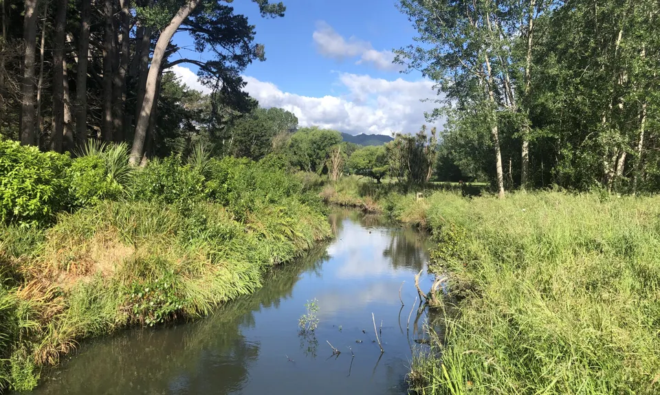
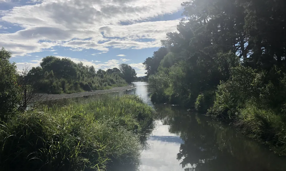
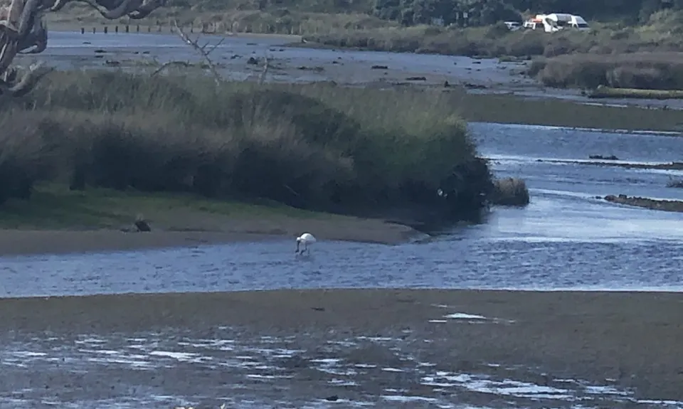
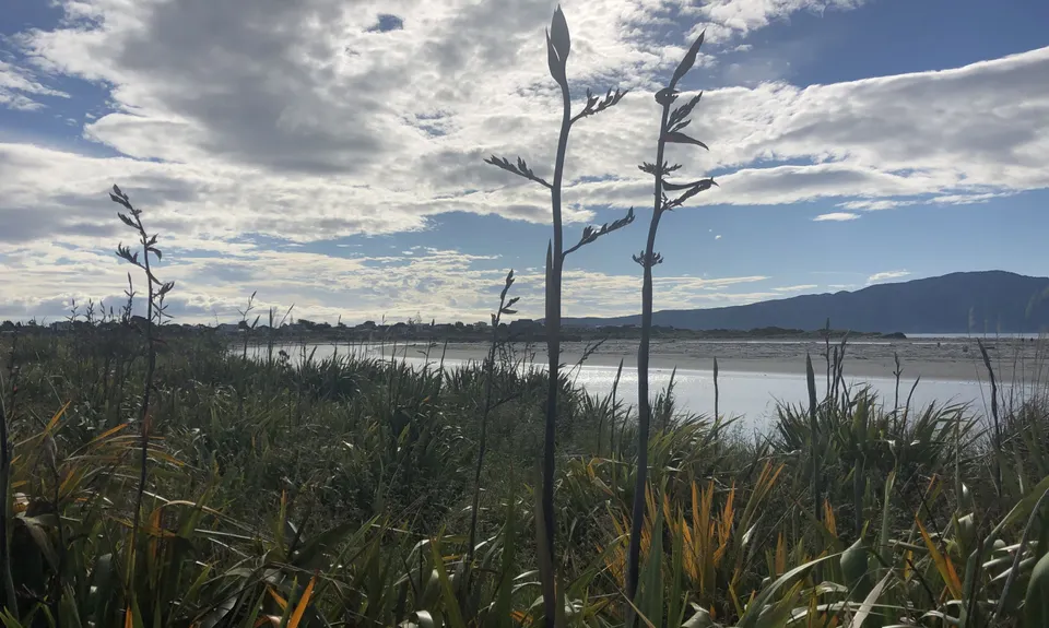
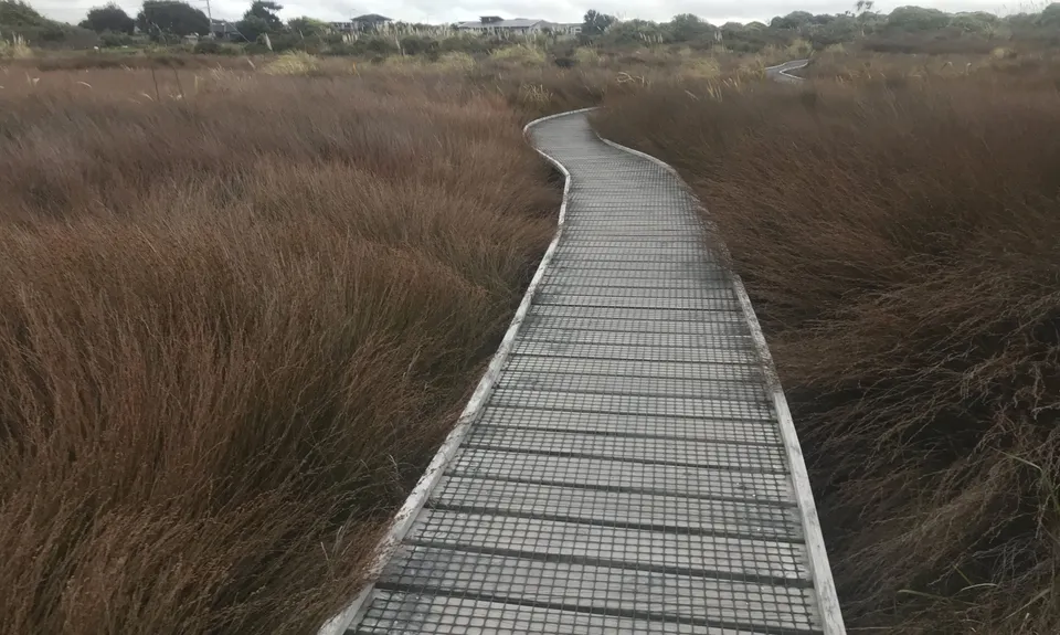
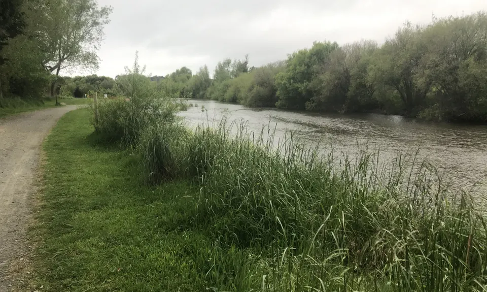
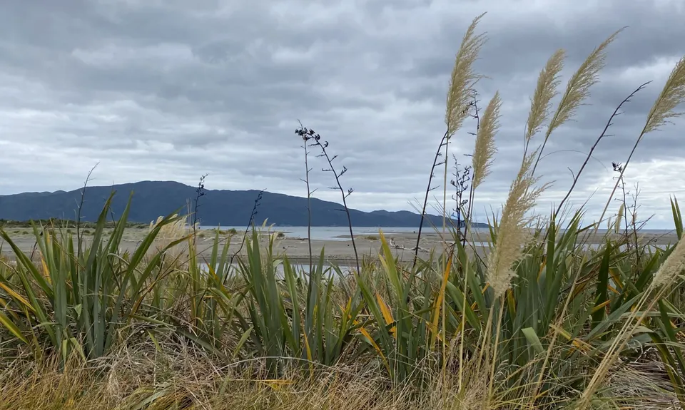
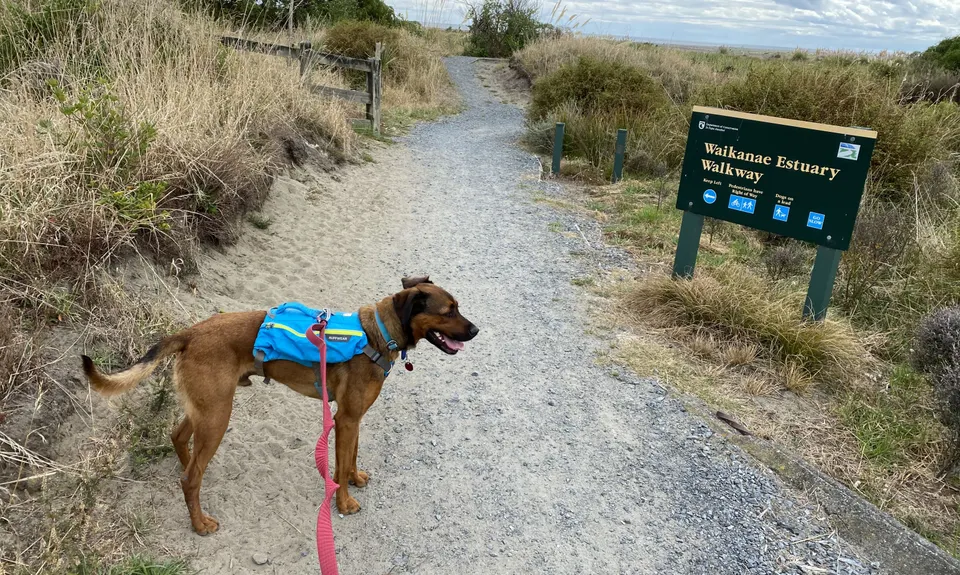
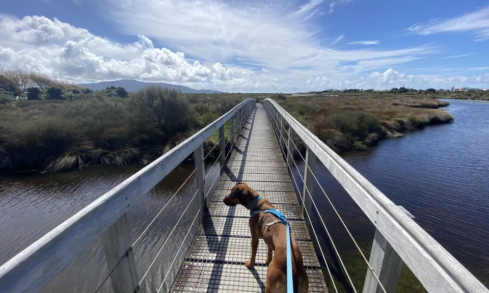
Waikanae River & Estuary
Last Updated: 7th Mar 2025
Open
Grunt Factor: 9 ?
Gnarl Factor: 8 ?
13.5km
30m
30m
20m
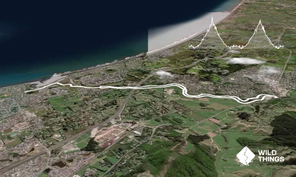
Trail Map
This Topo layer only covers NSW/ACT.
Switch to another map layer when viewing outside this area.
Switch to another map layer when viewing outside this area.


