Last Updated: 30th Jun 2025
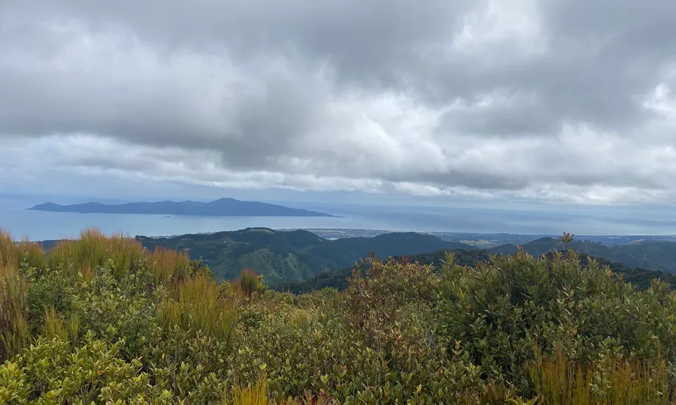
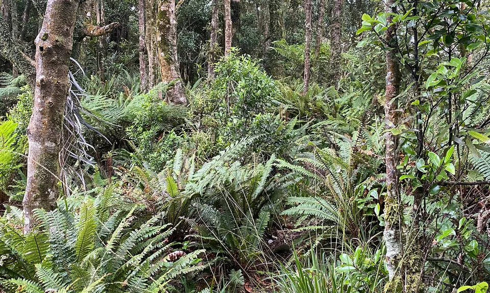
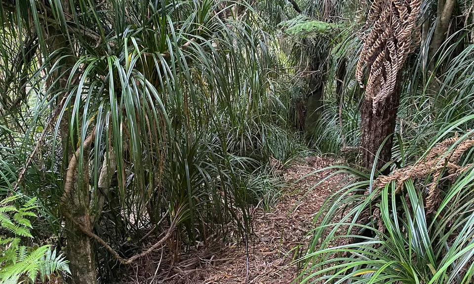
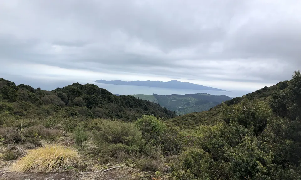
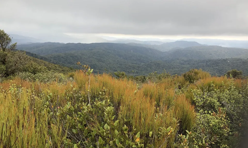
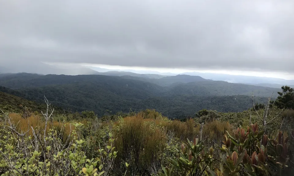
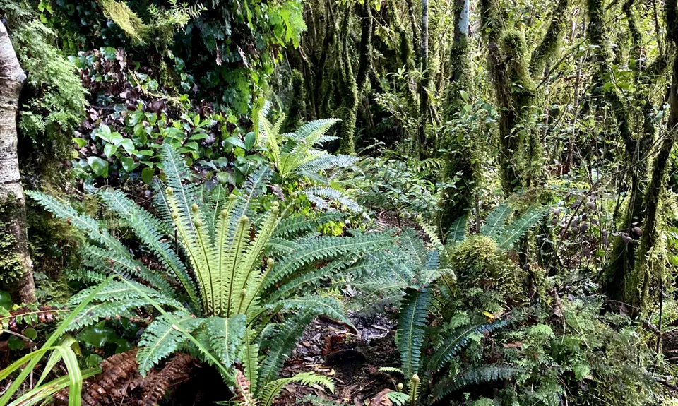
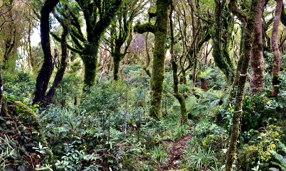
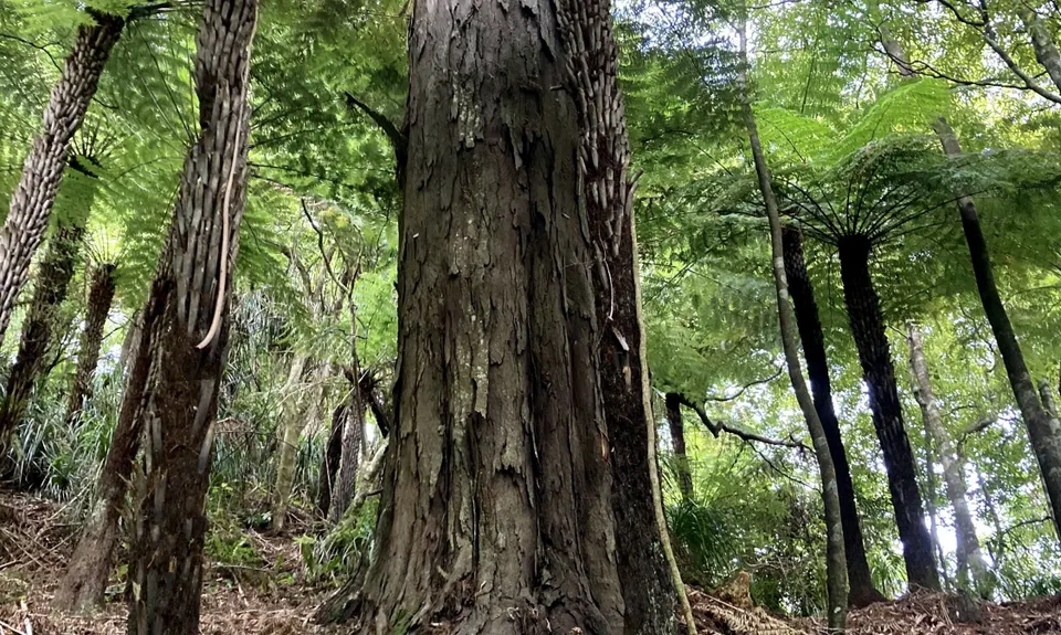
Mounting Maunganui
Last Updated: 30th Jun 2025
Grunt Factor: 30 ?
Gnarl Factor: 42 ?
11.6km
850m
850m
708m


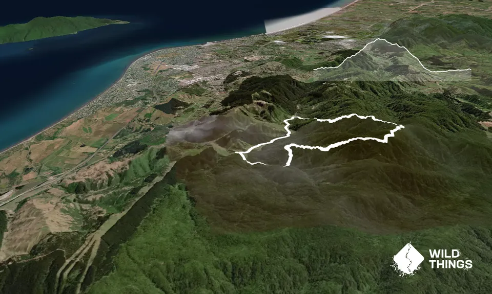
Trail Map
This Topo layer only covers NSW/ACT.
Switch to another map layer when viewing outside this area.
Switch to another map layer when viewing outside this area.


