The Big Wainui LoopIntermediate
Submitted by Gary Crilley
Back country - remote
Loop
Very hilly
Native bushPlantation/exotic forestOpen farmlands
Intermediate
7:00 (Slow)
5:30 (Moderate)
4:00 (Fast)
-12.2%
+12.3%
Whareroa Farm access is limited during lambing season, but there are alternative routes up to the base of Mount Wainui.
Fastest Known Times (FKTs)
Please set your gender to see your position on the FKT leaderboards.
Men
Women
There are currently no female FKTs for The Big Wainui Loop.
Filter FKTs
The more , the harder the FKT will be to beat. Learn about Fastest Known Times.
Description
ABSOLUTELY NO DOGS. This is a working farm.
There are several options for the Whareroa Farm section—the climb to the base of Mount Wainui. This example goes up on one option and down on another.
Follow the farm race up to the turnoff to the Ti Kouka Rocks (700m), then follow the blue poles up the farm track to the ‘Rocks’. Cross the gate and continue through the pine forest until you reach a broad 4WD track, then turn right and head down to the old timber stockyards. At this point you will see the first orange marker on a steep clay ‘road’ heading up Mount Wainui.
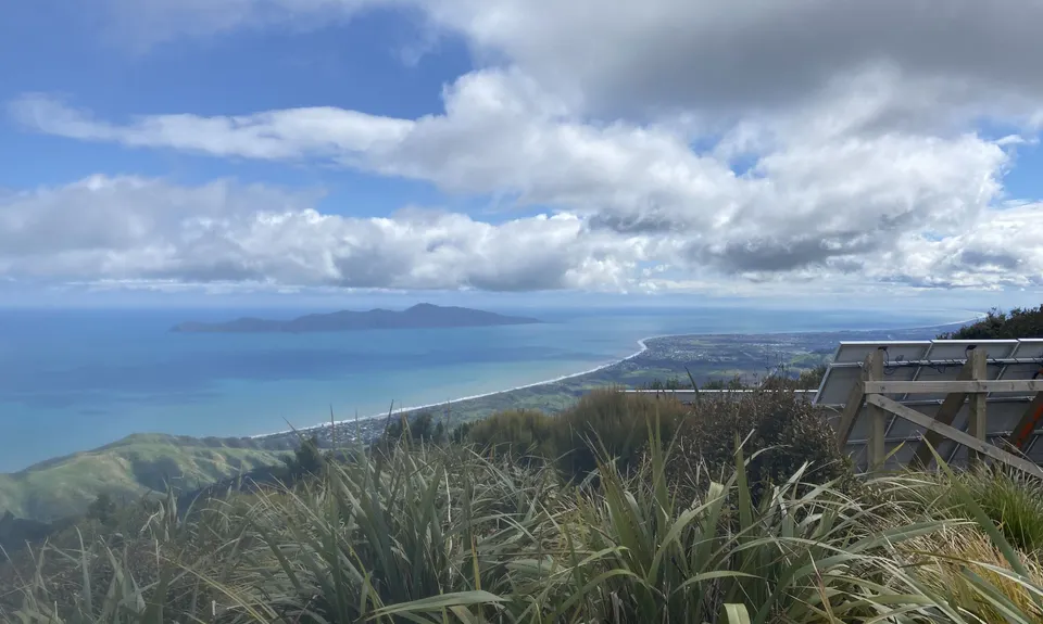
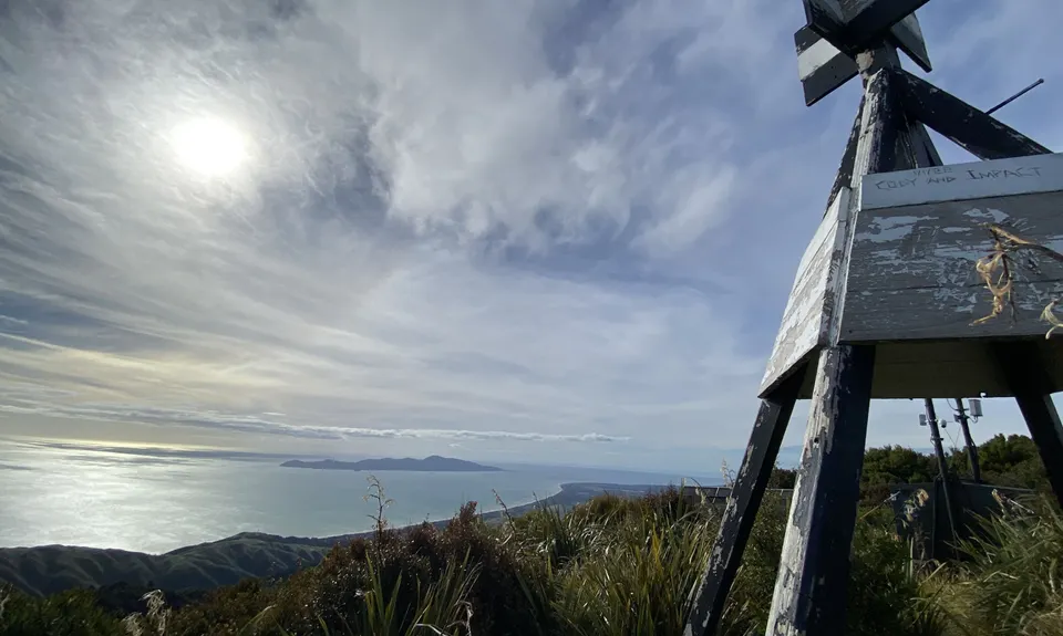
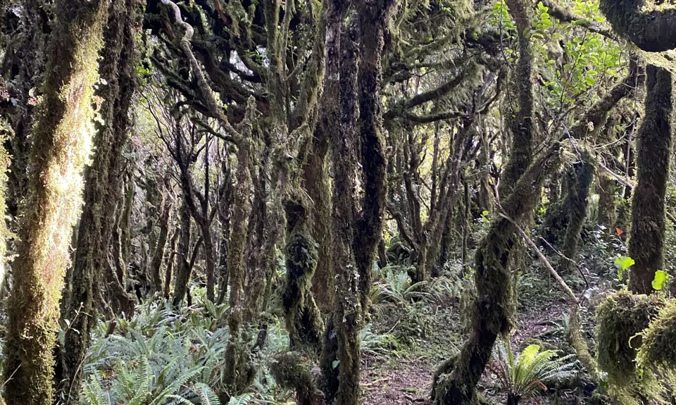
Follow the tramping track/orange markers to the summit of Mount Wainui. The summit is clear, and this is the tallest peak for some distance. The track down the southern side is not on any map. It has, however, recently been cleared and now has orange markers. Follow this track to the south until you reach the bush line. Once out of the bush, follow the farm track south along the ridge that parallels the new highway.
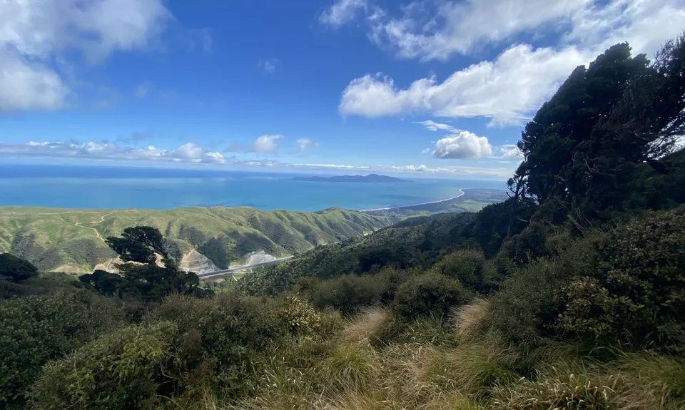
About two-thirds of the way down (12km into run), the farm track divides; take the left track and follow that for 1 km. This track eventually veers left and climbs a hill on the northern side of a row of pine trees. This track is marked on topo maps. The track turns north for a bit and then sharply turns southeast again—a good check that you’re in the right place. About 200m down from the hairpin turn, look for a break in the bush on your left. There is no marked track here. On the map there is a 4WD track about 800m up to the northeast—this is your target. You will find numerous deeply gouged motorbike tracks in the bush, but if you follow the most prominent and keep to the north-easterly bearing, you shouldn’t go wrong.
Once you reach this 4WD track, turn right and follow it for 4.5km until it joins with Hydro Road. There’s a long descent with views north over Hydro Valley. Turn left and follow Hydro Road—a broad 4WD/logging road—down to Orange Hut. Be wary of motorised vehicles on this ‘road’.
Just past Orange Hut, turn left and follow the 4WD road up Hydro Valley to the top and then down to the gate. You are now back at Whareroa Farm, and just like there was a choice in tracks up the farm, there are options for going back down. This trail follows the Catchment Track, which branches off Campbell’s Mill Road and provides a direct, if steep, route across farmland to the bottom of the hill.
Trail Community
Features of interest
Mount Wainui was used during WW2 as a training ground for the US Marines, where they would have to tramp to the top with full equipment. It's rumoured that many soldiers discarded live munitions from the track, so stay on the track. The back side of Wainui follows a ridge above the new Transmission Gully, with many places to look down on the project.
Make Up of Run
Technical Single Track: 18%
Farm Road / 4WD Track: 82%
Route Data
Reviews:
Photos:
Your Trail Wishlist
All the runs that are on your To Do list (no limit).
Add to wishlist view wishlistWild Explorers
I did it!-
Access
Whareroa Farm, with access from the MacKays Crossing offramps on State Highway 1, north of Paekakariki.
Plenty of parking at the farm and there is an information shelter with maps and other advice. Unfortunately there is no public transport to Whareroa Farm.
9 km
10 minutes
No
No
-
Staying Safe
Moderate.
This is mostly easily navigated. There is just the joining track at around 13km that is not on any map and doesn't have track markers. This short section is not helped by numerous motorbike trails travelling in all directions. But if you stay on a set northeast bearing (or follow the gpx route), a prominent motorbike track goes all the way.
Patchy.
Lightweight fleece top, Short-sleeved thermal top, Seam-sealed waterproof jacket, Windproof jacket, Personal Locator Beacon (PLB), Whistle, First aid kit, Extra food for emergencies, Survival bag, Cellphone, Map.
There is water at Orange Hut, 20km into the run, so carry enough to get you this far.
Mount Wainui receives snow regularly throughout wintering the farm track down the southern ridge is very exposed to the southerly.
Two-thirds of this run is in the Greater Wellington motorised access region, so be aware of motorbikes and 4WD vehicles.
-
Sponsor this trail
See other runs nearby:
Waikanae River & Estuary
Bright Ridge Skyline Trail
Mounting Maunganui
Kapiti Island Loop