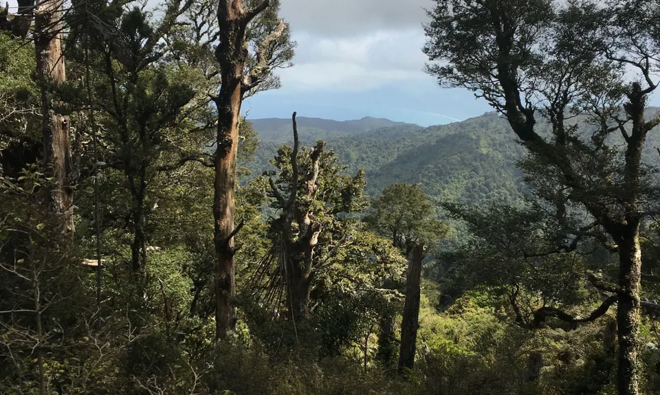
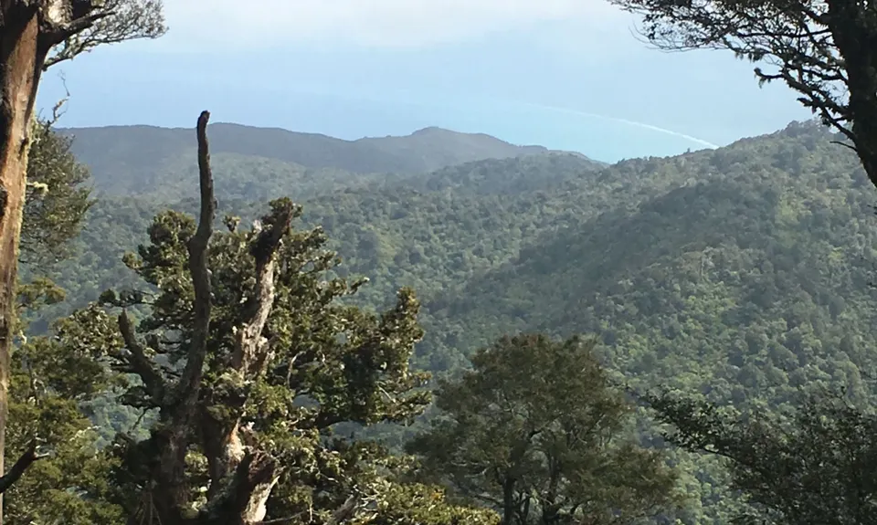
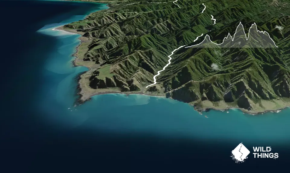
From Chris Martin on the Aorangi Undulator website, this is key information when on the trail:
Start at Mangatoetoe river end to Kawakawa Hut. Follow river upstream. After 4km the river splits around an island before rejoining further upstream. Take the left (true right) side. Another 1km there’s a river junction on the right (true left). Take left river (true right) and aim for the large orange DOC triangle.
Travel now up river, dipping in out, it is gorge-like. Follow regular DOC orange marks where possible. Exit fork from river well marked by cut cabbage tree stump in river.
UNDULATION #1 Approx. 130m steep vertical climb. Cross the saddle, then a very steep descent, TAKE CARE. Descent ends by waterfall and pool – follow river downstream, rocky boulder-hopping for 4km. At that 4km point make sure you are scanning the true right of river as there will be a big DOC triangle marking where you leave the river bed. You must spot this or you will miss the turn off and head down the river. The triangle leads you into a copse of trees and a track that leads to Kawakawa Hut.
Kawakawa Hut is on true right of river. A 4WD track crosses river at hut.
Kawakawa Hut to Pararaki Hut: Head upstream crossing creek regularly for 10 to 15 mins. Turn left at ‘Pararaki Hut’ wooden sign.
UNDULATION #2 Approx. 310m vertical climb. Steep climb up narrow ridge – careful, don’t fall off. Long cambered sidle to saddle. When you hit the BIG fallen log look hard left for the track not straight ahead. After saddle descend to Pararaki river. Turn right upstream at river.
Pararaki hut is 100m upstream on left (true right).
Pararaki hut to Washpool Hut isUNDULATION #3 Approx. 550m vertical climb. Windfall at base of track not far from hut, follow orange taps and markers. Solid climb, obvious track. Then very steep descent ending in a final 30 or so metres of loose scree, very easy to gather unwanted / wanted momentum. Turn left at Washpool stream and follow blazes downstream for 100m, look for sign to hut on true right bank and head up steps to Washpool Hut .
Washpool hut to finish: Follow well signed Kopi track, up, up and up. UNDULATION #4 Approx. 550m vertical climb. Steep climb, summit and obvious left towards NW ridge. Ridge undulates for 3km through bush. When you get to old fence and 4x4 track it is pretty much the climbing over. Descend through ‘Gorse Alley’ – like taking off a plaster this is best done quickly, showing weakness will be booed. Take signed left turn to Pinnacles. Turn left to lookout track NOT ‘Circular Walk’ and descend obvious stepped route to river valley. Turn right at river valley and follow river downstream. Look out for BLUE WARATAHS WITH ORANGE TRIANGLES. There are 2 and will put you on the track to the finish. If you miss them it’s not a major - you’ll just be running on rougher terrain and it will take longer.