Last Updated: 1st May 2026
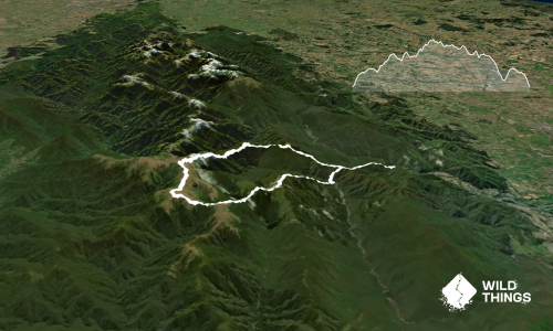
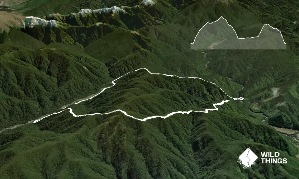
Mt Reeves Loop
Last Updated: 1st May 2026
Open
Grunt Factor: 46 ?
Gnarl Factor: 65 ?
17.2km
1285m
1285m
877m

Trail Map
This Topo layer only covers NSW/ACT.
Switch to another map layer when viewing outside this area.
Switch to another map layer when viewing outside this area.