Last Updated: 21st Sep 2023
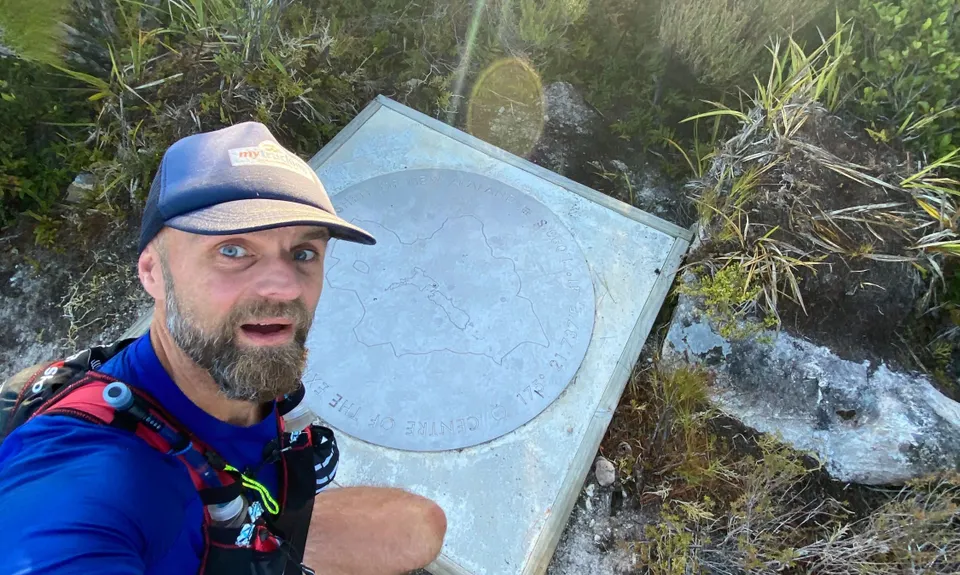
Middle of Middle Earth
Last Updated: 21st Sep 2023
Closed More info
Access through private land on Waiohine Valley Road to the start of the Mt Reeves Track/Centre of New Zealand Walk is currently closed until further notice.
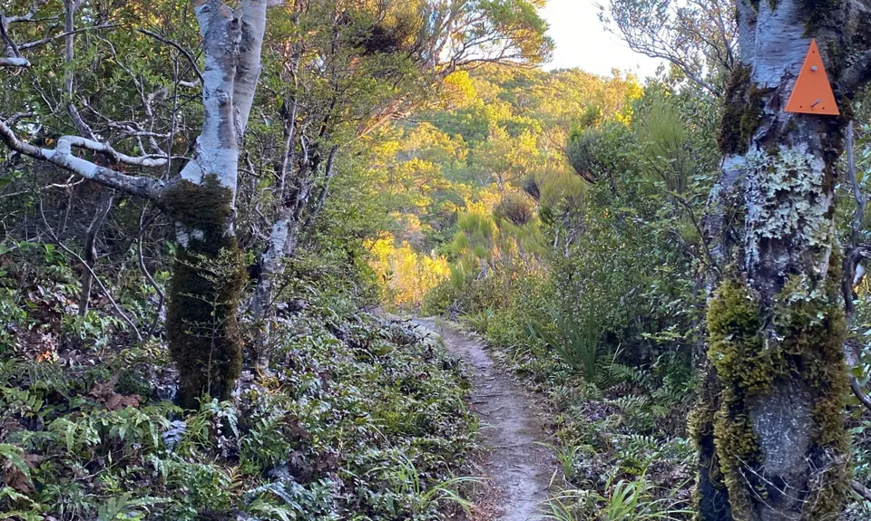
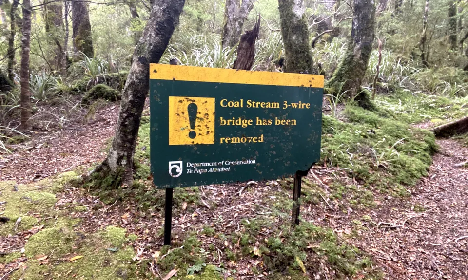
Alternative access to the track is possible via Waiohine Gorge Road and the swingbridge, however, please note this track is not currently marked or maintained by DOC, and is not accessible during/after heavy rainfall due to stream crossing required therefore is used at own risk. Please respect the closure of access via private farmland on Waiohine Valley Road.
Please notify us if this has changed.
Grunt Factor: 29 ?
Gnarl Factor: 60 ?
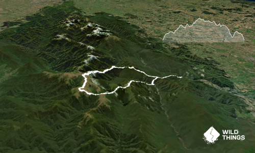
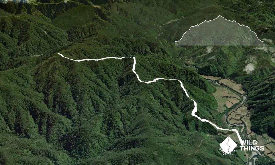
14.5km
945m
945m
895m
Trail Map
This Topo layer only covers NSW/ACT.
Switch to another map layer when viewing outside this area.
Switch to another map layer when viewing outside this area.