Last Updated: 9th Feb 2026
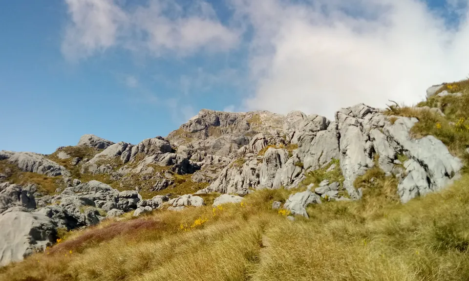
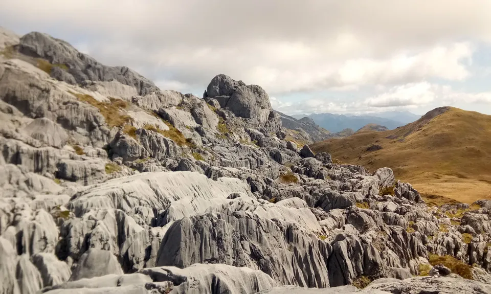
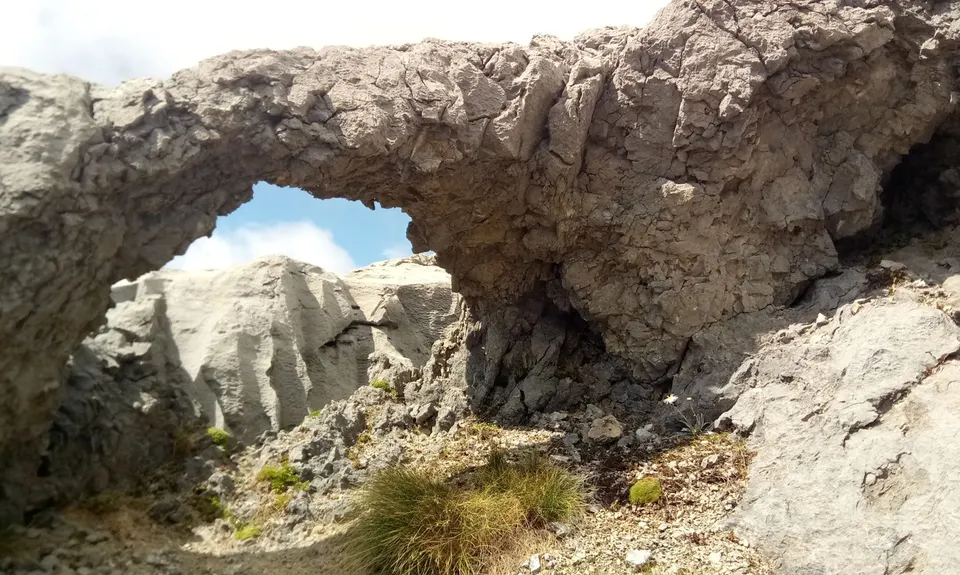
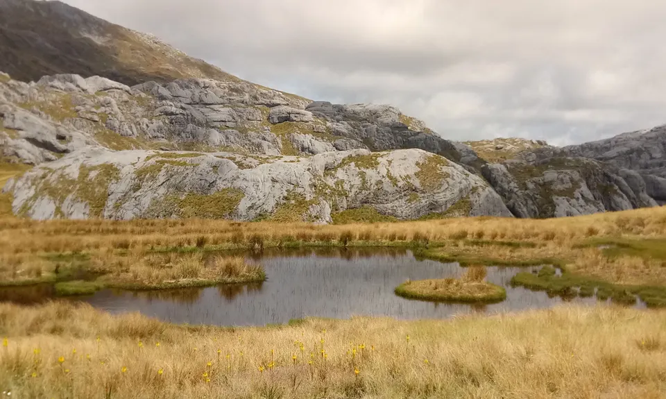
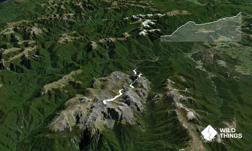
Mt Owen via Granity Pass
Last Updated: 9th Feb 2026
Open
Grunt Factor: 66 ?
Gnarl Factor: 79 ?
23.0km
1800m
280m
1875m
Trail Map
This Topo layer only covers NSW/ACT.
Switch to another map layer when viewing outside this area.
Switch to another map layer when viewing outside this area.


