Last Updated: 21st Sep 2023

Intermediate

Save Trail Save

I've done it Done

Upper Manuherikia Loop

St. Bathans, Otago

Submitted by Kieran Philip

Last Updated: 21st Sep 2023

Intermediate

Save Trail Save

I've done it Done

Open

Grunt Factor: 52 ?

Gnarl Factor: 7 ?

45.7km

1160m

1160m

1747m


Login as a VIP to see driving directions, distance and time.

Trail Map

Type of Run

Back country - remote

Loop

Very hilly

Riverside

Open farmlands

Open tussock/grasslands

Run Makeup

100%

Farm Road / 4WD Track

Average Uphill Gradient: +7.2%

Average Downhill Gradient: -6.8%

Trailhead

Login as a VIP to see the trailhead information.

Estimated Times to Run

8:00

Slow

6:00

Moderate

4:00

Fast

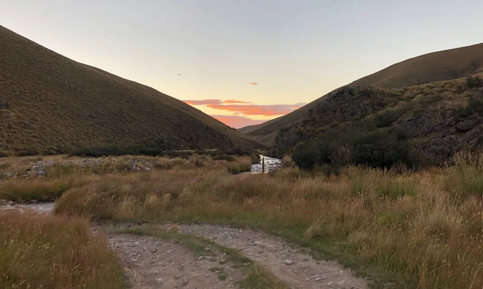
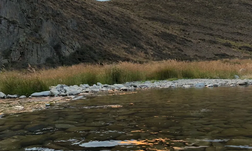
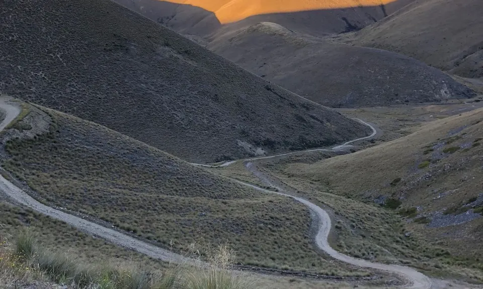
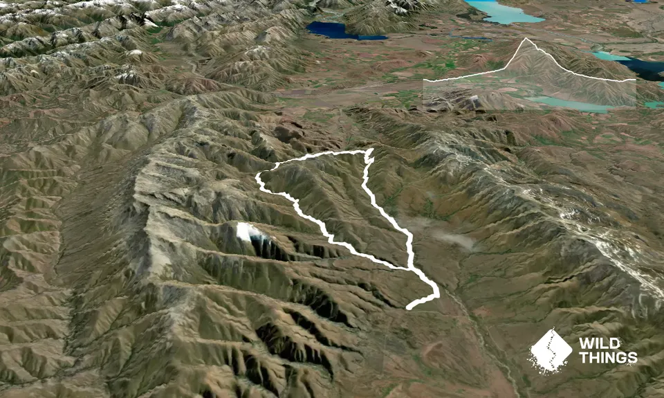
Starting at the Homestead Campsite head north on to the track which is marked by orange poles. Follow this for the 1.5km along until it reaches the main 4WD track. Once on this track you basically follow it for the next 40km! Take a left and head along the road, after another approx 2km, you'll reach a sign which signposts the West and East branches of the Manuherikia. The way this guide is mapped is to take the left and head up the West Branch of the Manuherikia River. So take a left, and floow this road up. It crosses the river many times (I lost count) so give up any notion of keeping dry feet.

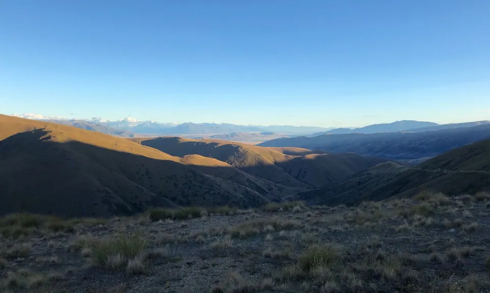
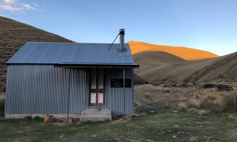
About 7km up the track you reach Boundary Creek Hut which is a nice place for a breather. Continue on your way up the valley and you'll eventually get to Top Hut, another quaint wee hut. The climbing starts here, round the corner you begin the climb up to Omarama Saddle where you'll be greeted with views North. From the Saddle, head right on to the Saddle Ridge track which takes you up and over the high point to Little Omarama Saddle. From here head downhill, alongside the East Branch of the Manuherikia River until you join back up at the junction you were at much earlier. From here retrace your steps back to the Homestead Campsite.

River crossings, backcountry huts, views of Mt Cook/Mackenzie Country, classic Central Otago tussock scenery.

Heaps of parking. Is a DOC campsite, so could be a variety of people around. Is pretty remote, lots of driving on gravel roads to get there, with a couple of fords to go across. A regular car should be OK though, unless there's been a lot of rain.

18 km

29 minutes

Unknown

No

Easy.

Very patchy.

Waterproof leggings, Thermal leggings, Long-sleeved thermal top, Seam-sealed waterproof jacket, Gloves, Beanie/thermal headwear, Personal Locator Beacon (PLB), Whistle, First aid kit, Extra food for emergencies, Survival bag, Cellphone, Map

Lots of water, may want to treat it before drinking as still a bit of livestock around.

Very, very hot in summer, so have plenty of water. Winter, snow on the tops, you'd want microspikes. River crossings could be dodgy if there was a heap of rain.

You and Upper Manuherikia Loop

As a VIP member you can record private notes for this trail, see all of your times and more.

Register Now

Already have an account? Login now

Trail Reviews

Be the first to submit a review for Upper Manuherikia Loop!

Login to submit a review

Trail Running Community

Find people who are interested in or have completed this trail run.

You must register or login to view this feature.

Register Now

Other trails nearby
Hawkdun Range Hustle

Hawkdun Range Hustle

Length: 21.8km

Level: Beginner - Intermediate

Hidden Lake Loop

Hidden Lake Loop

Length: 39.3km

Level: Intermediate

Mount Saint Bathans Summit

Mount Saint Bathans Summit

Length: 28.0km

Level: Intermediate - Experienced

A Smaller Blue Lake

A Smaller Blue Lake

Length: 5.0km

Level: Beginner

Find more trails and peaks nearby