Last Updated: 2nd May 2026
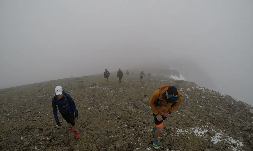
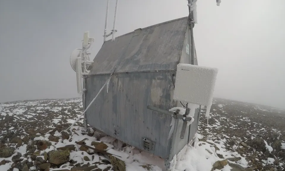
Mount Saint Bathans Summit
Last Updated: 2nd May 2026
Open
Grunt Factor: 69 ?
Gnarl Factor: 70 ?
28.0km
1680m
1680m
2090m
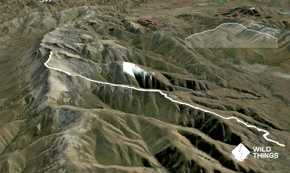
Trail Map
This Topo layer only covers NSW/ACT.
Switch to another map layer when viewing outside this area.
Switch to another map layer when viewing outside this area.


