Last Updated: 19th Oct 2024
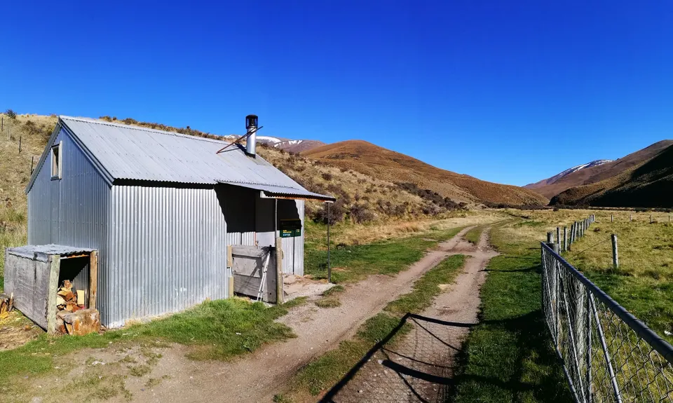
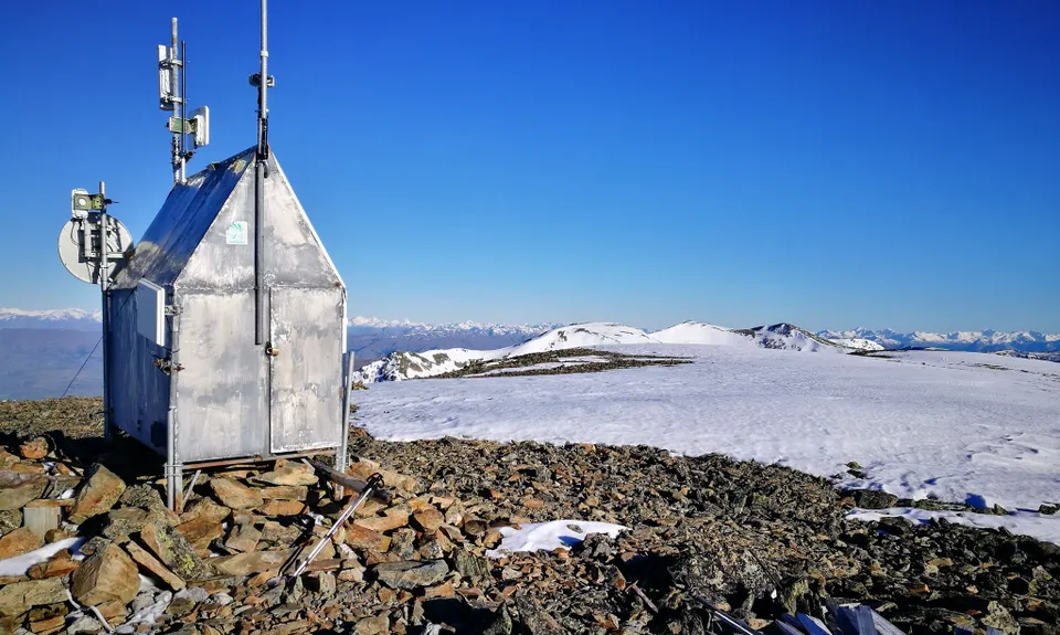
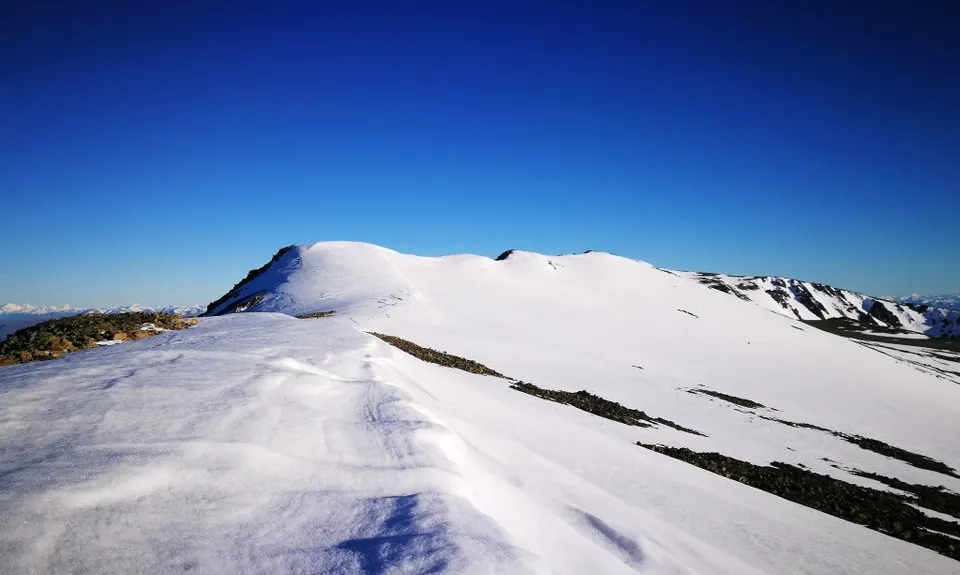
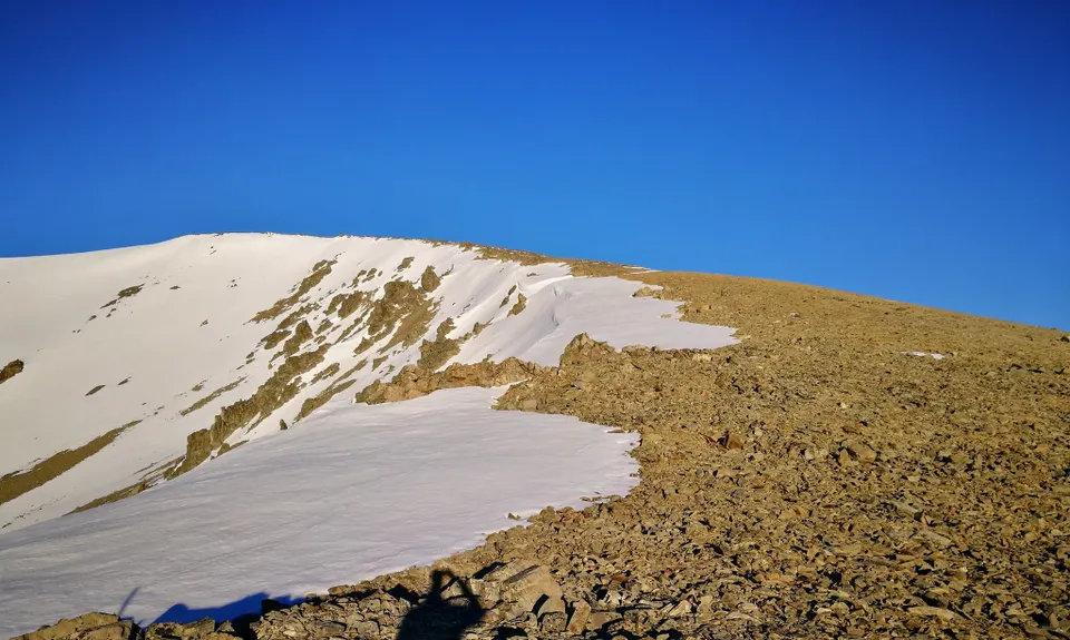
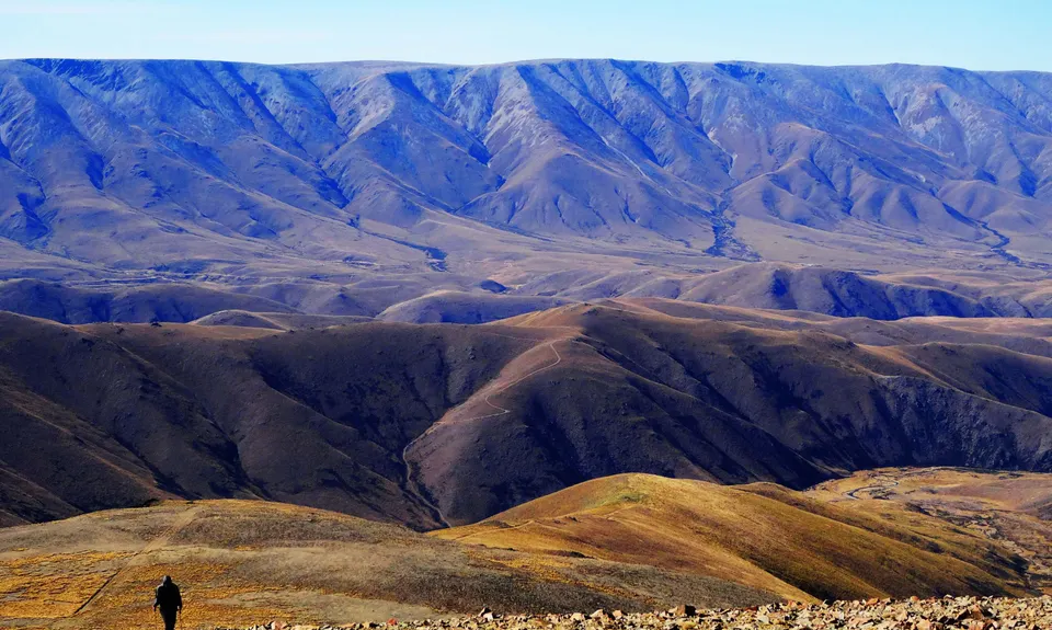
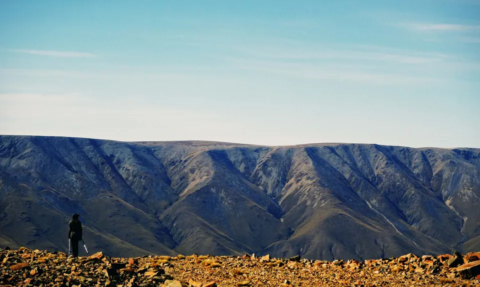
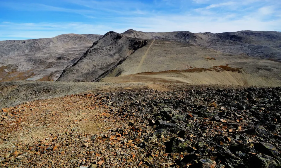
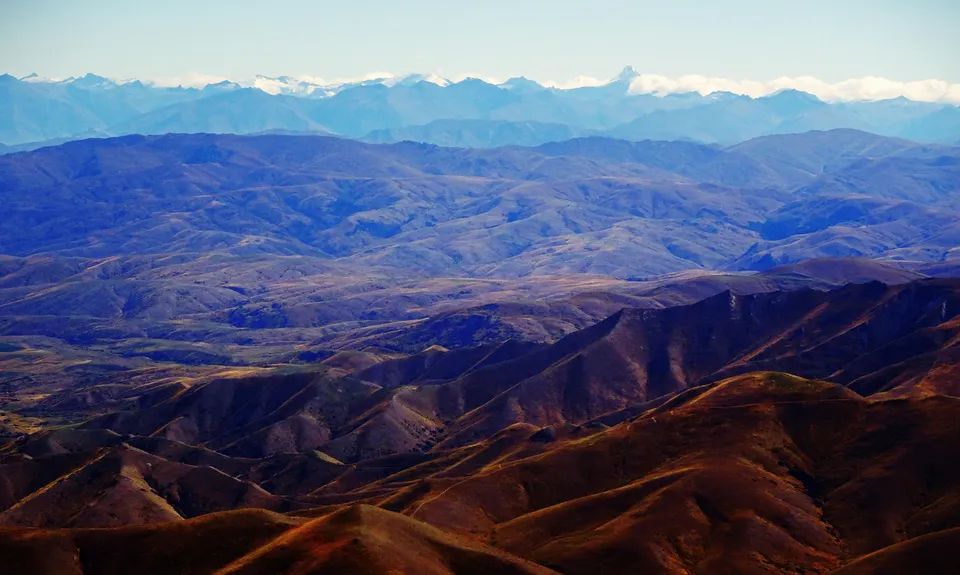
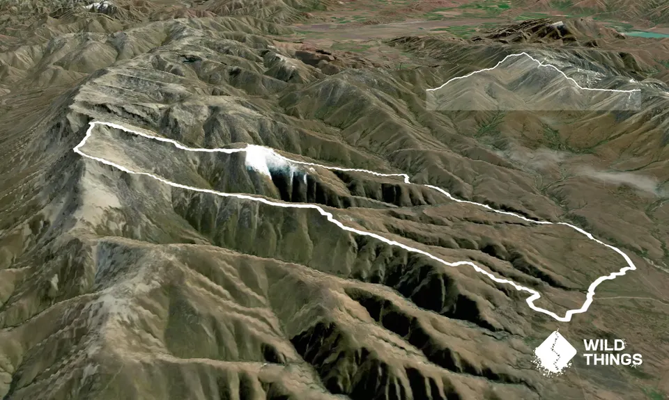
Mt St Bathans Loop
Last Updated: 19th Oct 2024
Open
Grunt Factor: 55 ?
Gnarl Factor: 46 ?
33.0km
1590m
1590m
2089m


Trail Map
This Topo layer only covers NSW/ACT.
Switch to another map layer when viewing outside this area.
Switch to another map layer when viewing outside this area.


