Last Updated: 30th Apr 2026
Brewster Bimble
Last Updated: 30th Apr 2026
Open
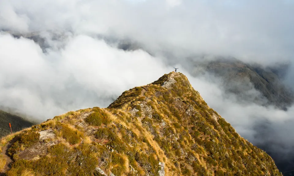
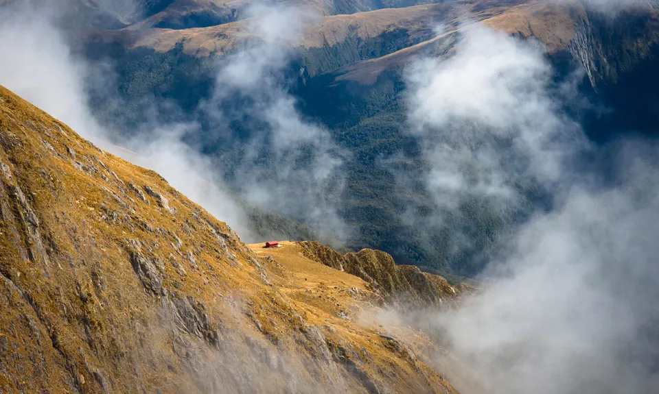
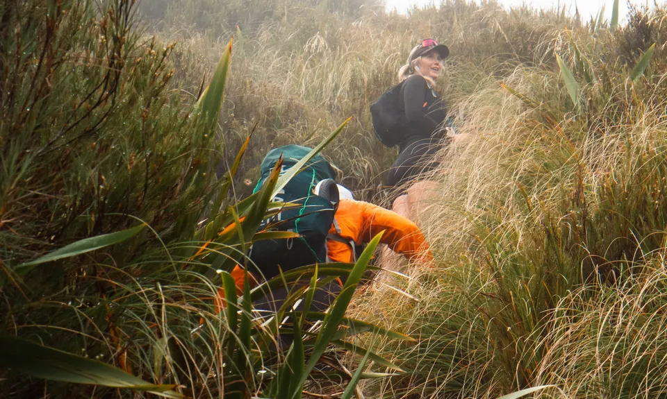
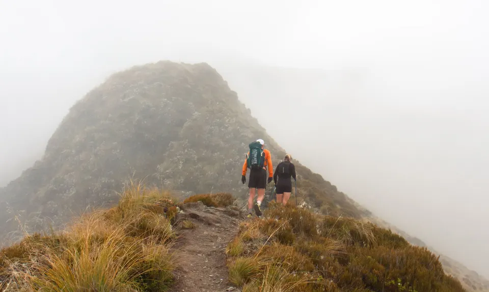
Grunt Factor: 23 ?
Gnarl Factor: 80 ?
5.4km
985m
985m
1400m

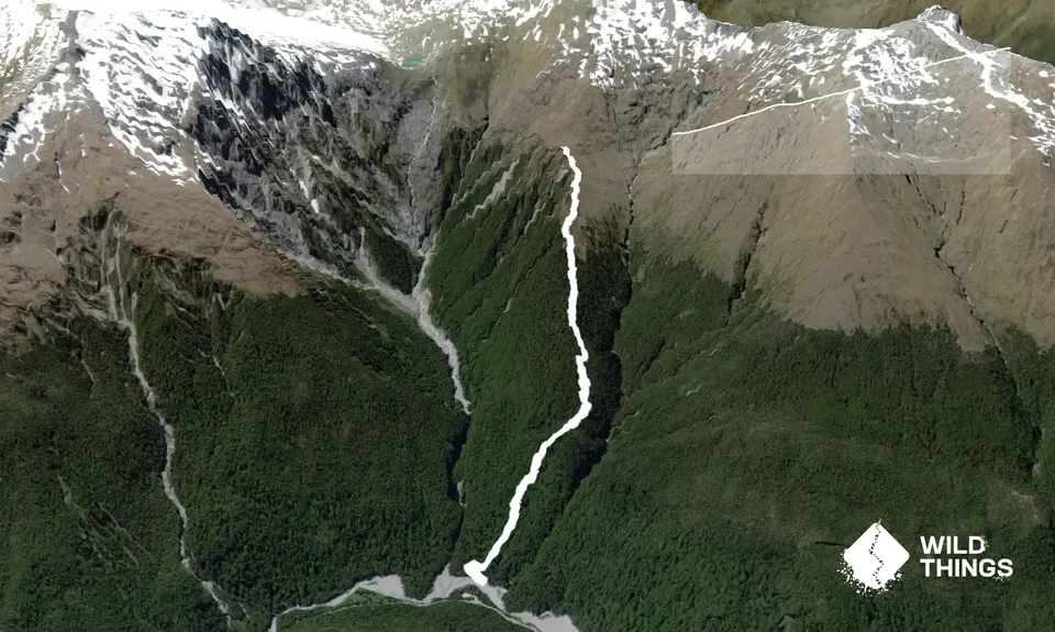
Trail Map
This Topo layer only covers NSW/ACT.
Switch to another map layer when viewing outside this area.
Switch to another map layer when viewing outside this area.


