Last Updated: 27th Apr 2026
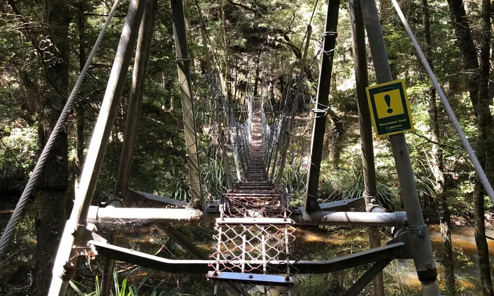
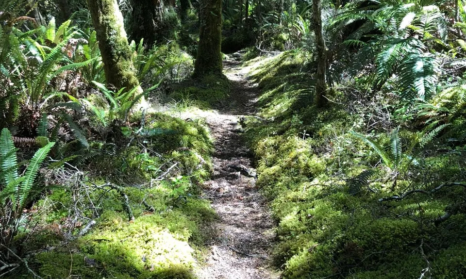
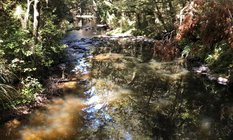
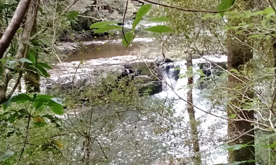
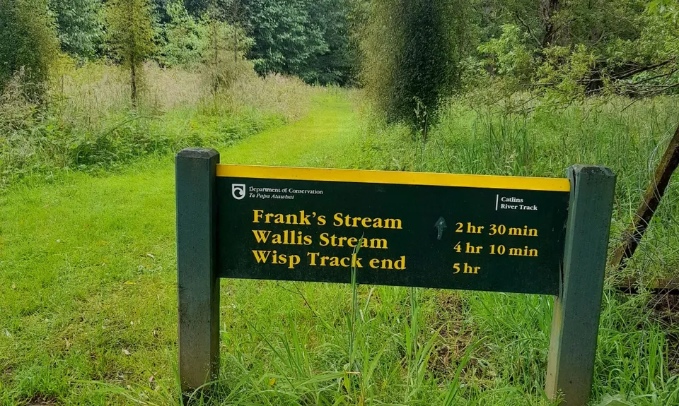
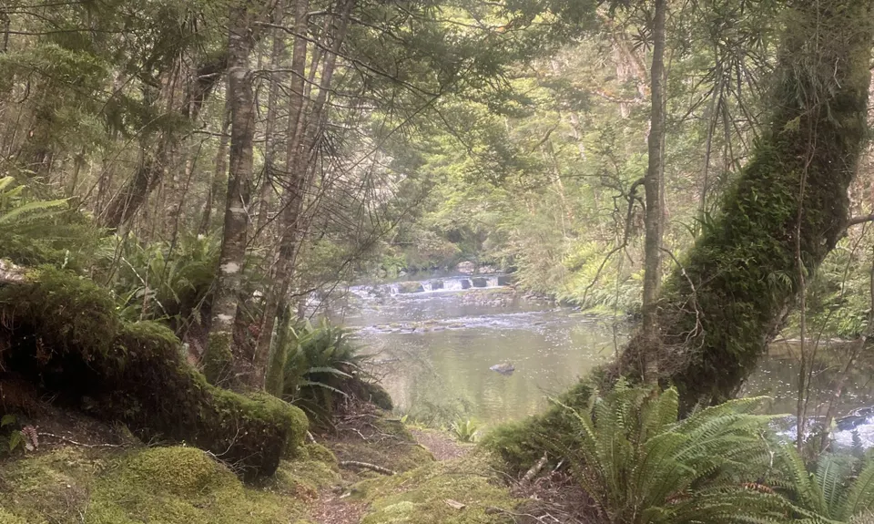
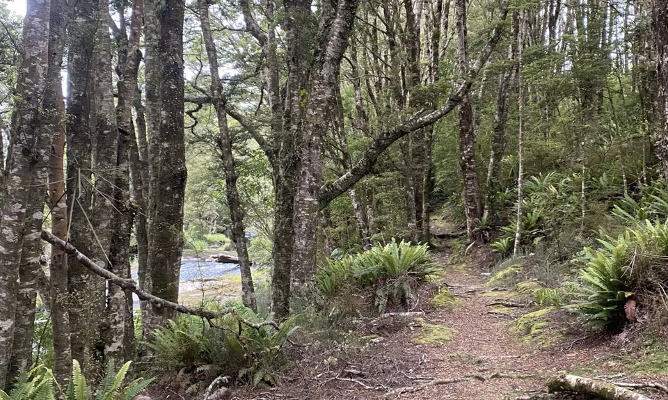
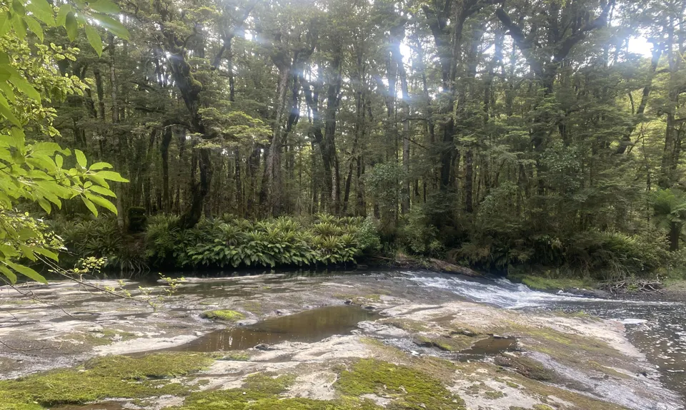
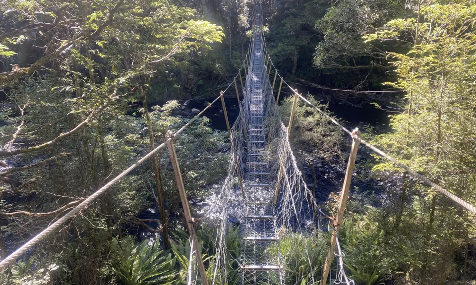
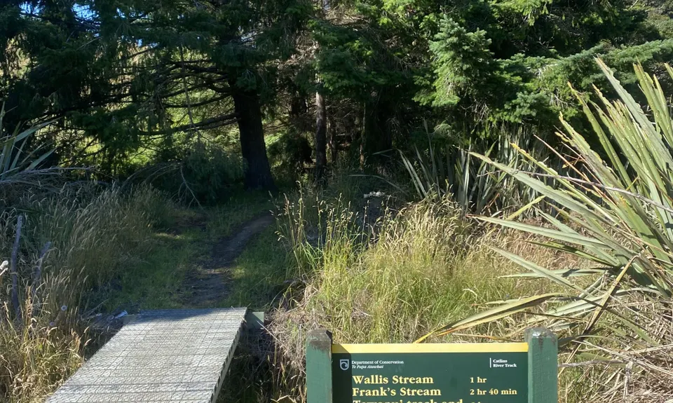
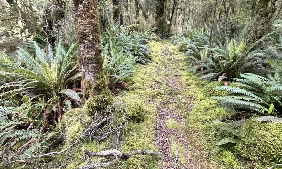
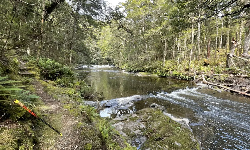
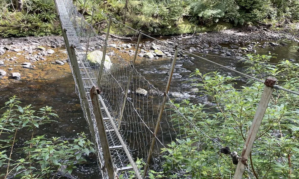
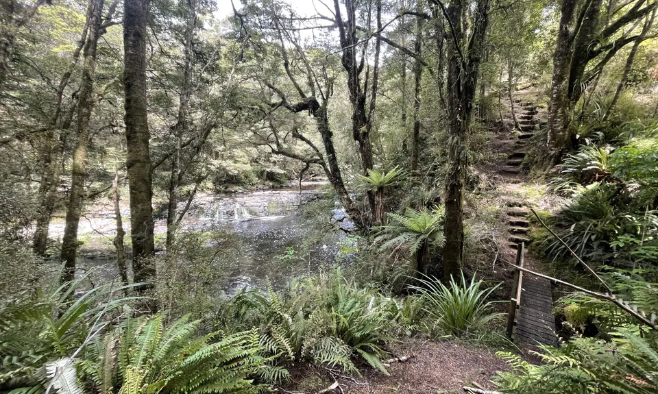
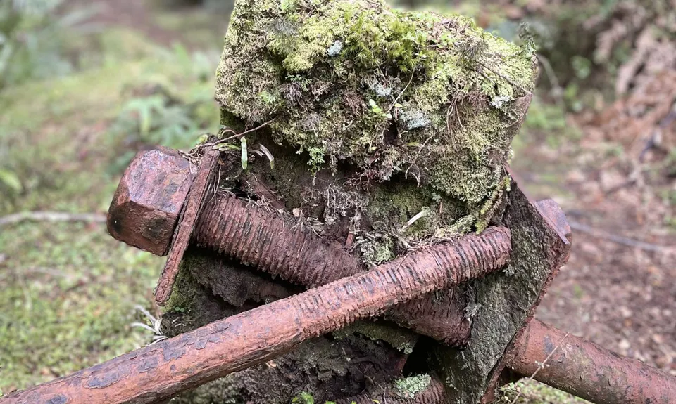
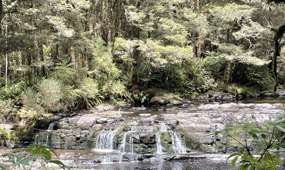
Catlins River Track
Last Updated: 27th Apr 2026
Grunt Factor: 26 ?
Gnarl Factor: 34 ?
23.4km
360m
360m
201m

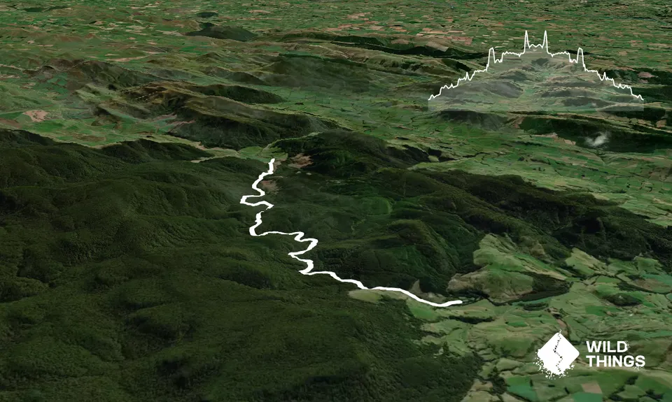
Trail Map
This Topo layer only covers NSW/ACT.
Switch to another map layer when viewing outside this area.
Switch to another map layer when viewing outside this area.


