Last Updated: 20th Feb 2024

Beginner

Save Trail Save

I've done it Done

A Little Bit of Clutha

Balclutha, Otago

Submitted by Mike Tennent

Last Updated: 20th Feb 2024

Beginner

Save Trail Save

I've done it Done

Open

Grunt Factor: 7 ?

Gnarl Factor: 25 ?

6.3km

110m

115m


Login as a VIP to see driving directions, distance and time.

Trail Map

Type of Run

Urban fringe

Combo

Totally/mostly flat

Native bush

Plantation/exotic forest

Riverside

Open farmlands

Run Makeup

75%
10%
15%

Easy Single Track

Moderate Single Track

Technical Single Track

Average Uphill Gradient: +3.4%

Average Downhill Gradient: -3.6%

Trailhead

Login as a VIP to see the trailhead information.

Estimated Times to Run

1:00

Slow

0:45

Moderate

0:30

Fast

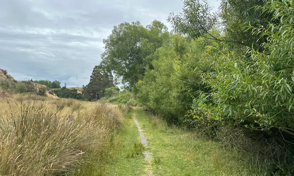
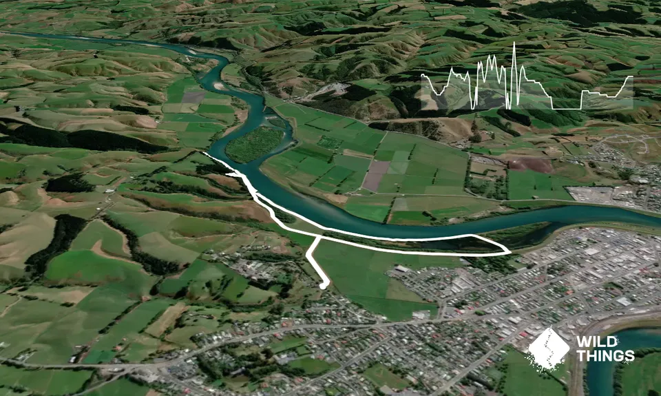
From the start head out along the causeway to the stopbank ahead. At the stopbank turn left and follow it to the end (about 300m) and then onto the obvious single trail. Follow this until you reach a gate with dog warnings on it, don't go through the gate, follow the trail down in the direction of the river along the fence and then on to the single trail along the river for about 300m.

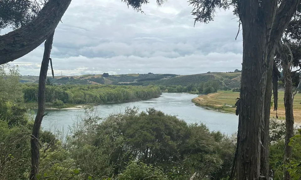
You will then come to an intersection with multiple options. Head right in a continuation of the trail you have been on. At just about exactly 2km you will reach another gate with a dog sign on it, this is where you turn back. Retrace your steps to the intersection and take the first right up some old steps, follow this track up (stopping for river pics) until you reach another intersection with 3 options, take the left hand trail. Follow this for a bit until you see another trail off to the left, take that and zoom down and back to the intersection where you entered the steps. Turn right onto a wide trail and follow this back to the very first gate you reached.

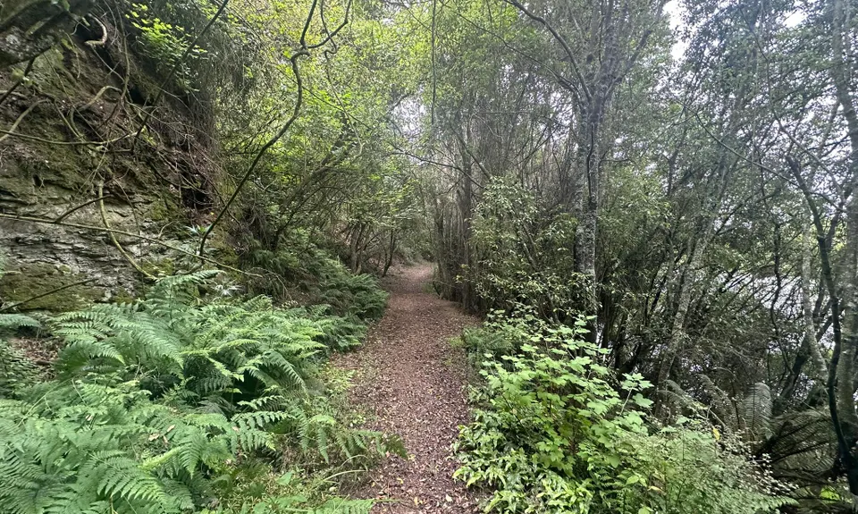
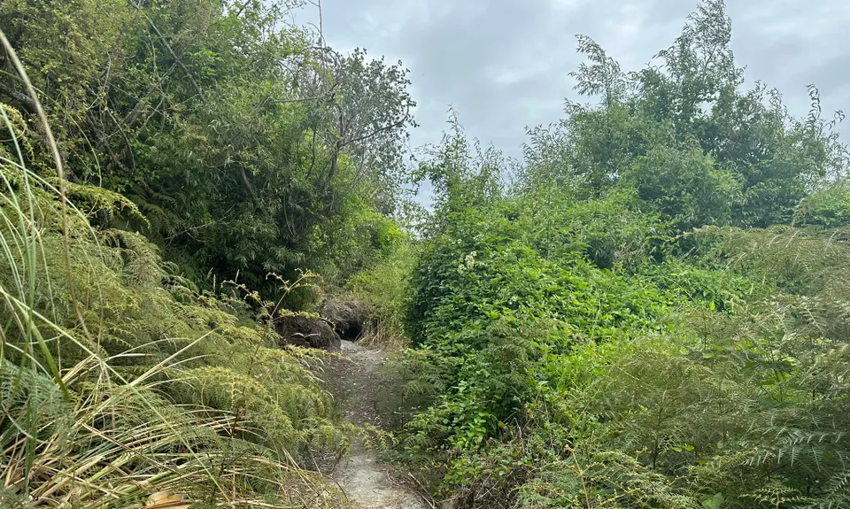
Through the gate and ahead to the left is a red triangular arrow on a tree, follow this down onto another trail along the river, there is a bit of braiding along here but as long as you are heading along the river you are fine. You will come out onto the grass, but there is still an obvious track along the river.

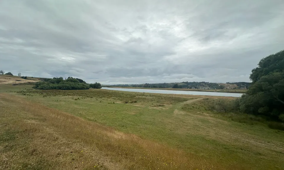
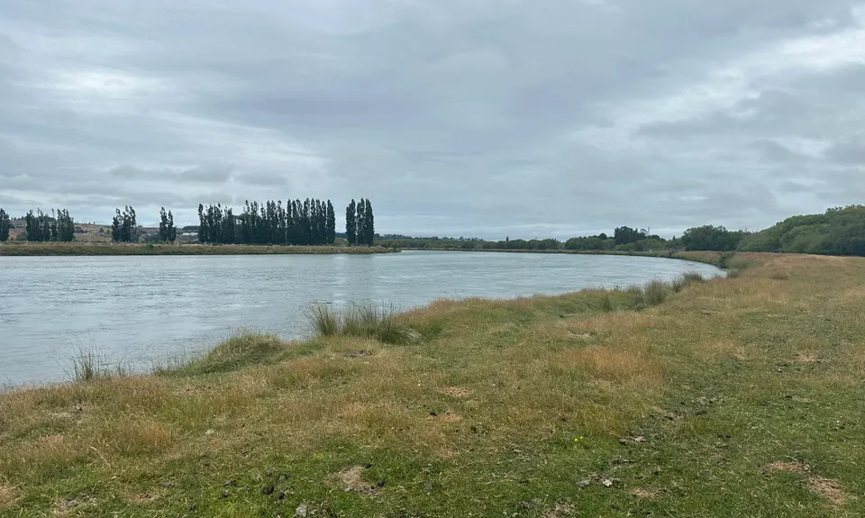
At around 3.7km you will enter a causeway between the river and a wetland/pond area. Follow this causeway for about 800m until it swings away from the river and onto a causeway between two ponds and eventually over a concrete causeway. Head up the other side onto the stopbank, turn right and follow it back to the start.

Great River views of the mighty Clutha.

Plenty of kerbside parking.

2 km

4 minutes

No

No

Moderate.

Pretty straightforward, but is you get off trail, work your way back to the river.

Generally good.

Long-sleeved thermal top, Windproof jacket, Gloves, Beanie/thermal headwear, Personal Locator Beacon (PLB), Whistle, First aid kit, Extra food for emergencies, Survival bag, Cellphone, Map

None that is easy to get. The river is there but you don't get low enough to get water.

Could be quite muddy and slippery in wet wintery conditions.

Some windfall and some narrow angles track.

You and A Little Bit of Clutha

As a VIP member you can record private notes for this trail, see all of your times and more.

Register Now

Already have an account? Login now

Trail Reviews

Be the first to submit a review for A Little Bit of Clutha!

Login to submit a review

Trail Running Community

Find people who are interested in or have completed this trail run.

You must register or login to view this feature.

Register Now

Other trails nearby
Sandhills, Cannibals & Sea-Lions

Sandhills, Cannibals & Sea-Lions

Length: 9.0km

Level: Beginner

Tautuku Tiki Tour

Tautuku Tiki Tour

Length: 11.0km

Level: Beginner

Pretty Papatowai

Pretty Papatowai

Length: 13.2km

Level: Beginner

The Tautuku Tiptoe

The Tautuku Tiptoe

Length: 7.7km

Level: Beginner - Intermediate

Find more trails and peaks nearby