Last Updated: 21st Sep 2023

Beginner - Intermediate

Save Trail Save

I've done it Done

Flat Top Hill v2

Alexandra, Otago

Submitted by Mike Tennent

Last Updated: 21st Sep 2023

Beginner - Intermediate

Save Trail Save

I've done it Done

Open

Grunt Factor: 19 ?

Gnarl Factor: 36 ?

12.5km

550m

550m

541m


Login as a VIP to see driving directions, distance and time.

Trail Map

Type of Run

Front country - easily accessible

Loop

Undulating, some big hills

Riverside

Lakeside

Open tussock/grasslands

Open ridges/tops

Run Makeup

25%
30%
25%
20%

Farm Road / 4WD Track

Easy Single Track

Moderate Single Track

Technical Single Track

Average Uphill Gradient: +9.6%

Average Downhill Gradient: -10.2%

Trailhead

Login as a VIP to see the trailhead information.

Estimated Times to Run

2:15

Slow

1:45

Moderate

1:15

Fast

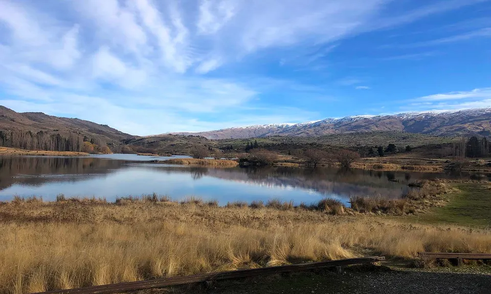
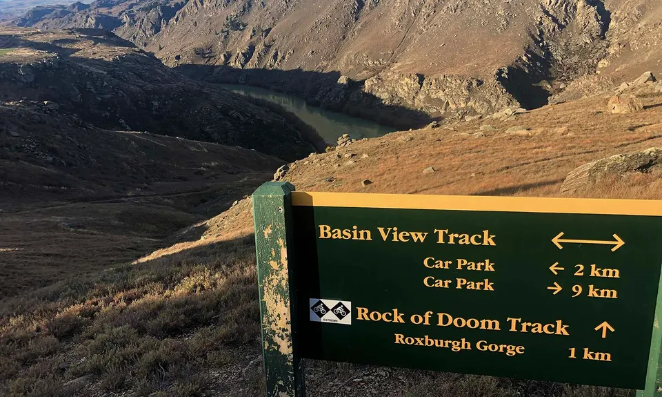
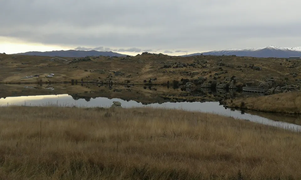
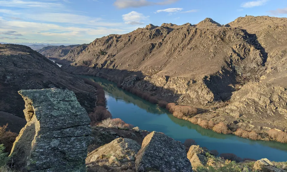
From the main carpark (where the signboard is), follow the trail along the lake to the left and over the Dam. Just up the hill after the dam is a track sign, you are heading left onto Basin View Track, keep following the orange markers (the blue ones are mtb) until around the 2km mark where you will come to another sign. You are taking Rock of Doom Track (we are Wild Things after all).... this section is quite a technical downhill with lots of flat schist rocks that are largely ok when dry but can be treacherous when wet.

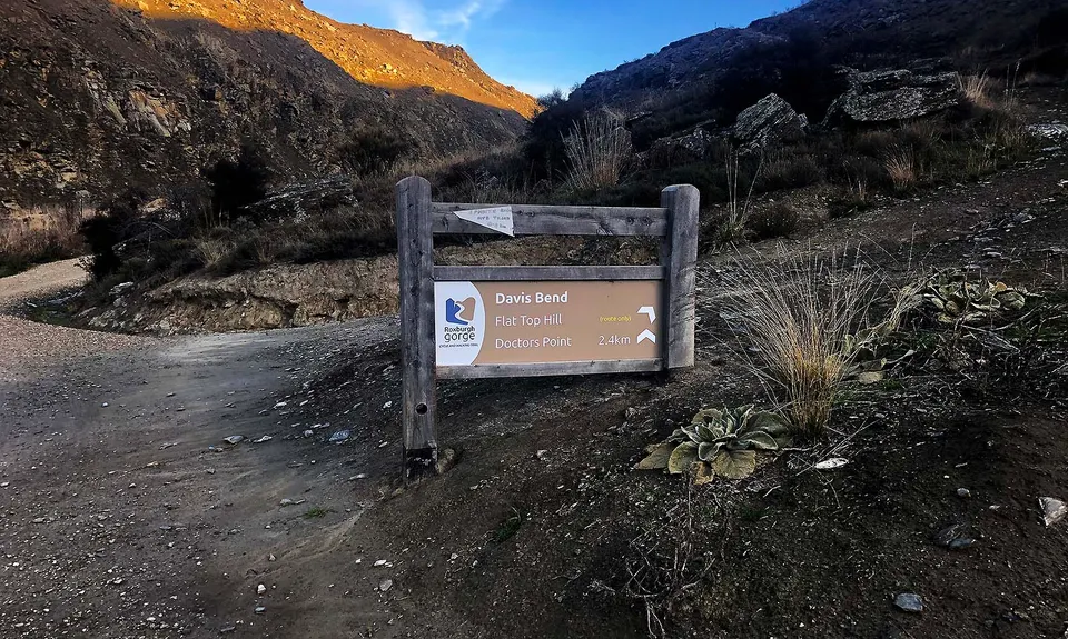
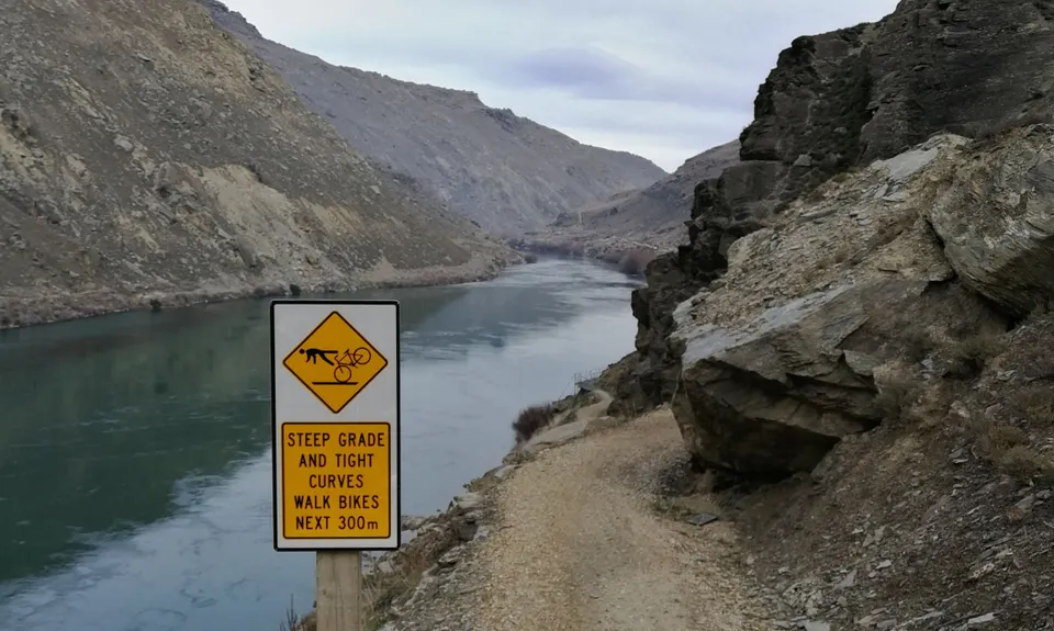
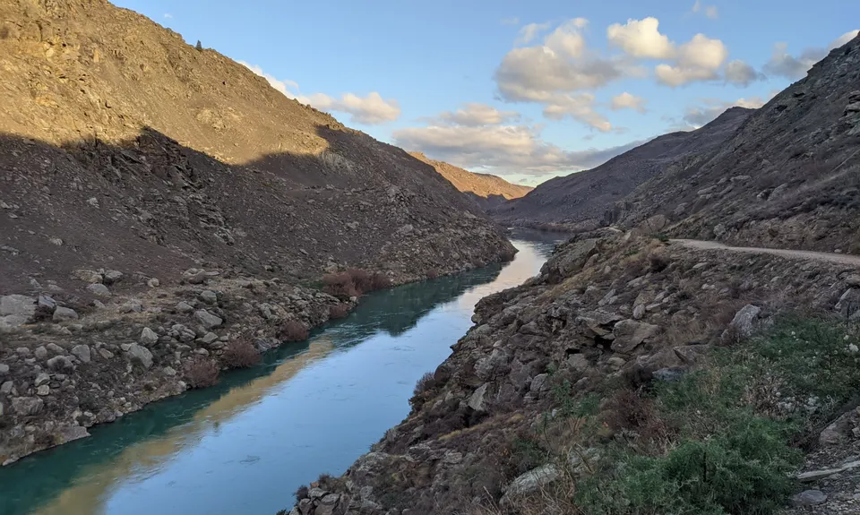
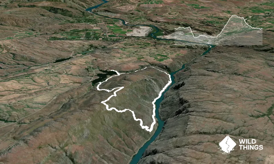
In most cases where there is a large downhill rock, there is also a smaller 'substitute' route. There is one place in particular the trail appears to peter out, but a bit of checking and it continues to the right. The secret is that unless you are a mountain goat, take your time. Eventually this will drop you onto the Roxburgh Gorge Cyle Trail for just over 3km of smooth manicured trail. Make the most of it, because just over the 3km on the nice trail you will come to the sign for Davis Bend.

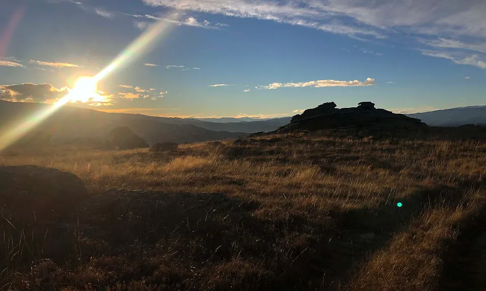
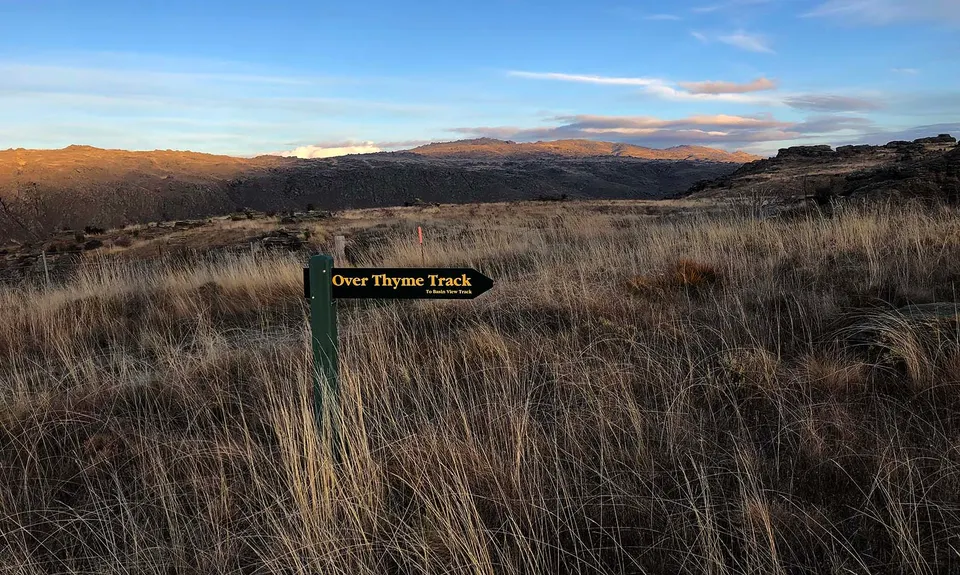
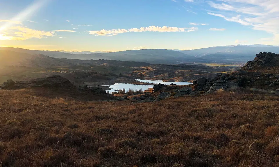
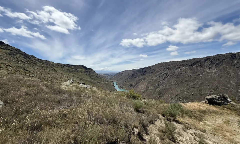
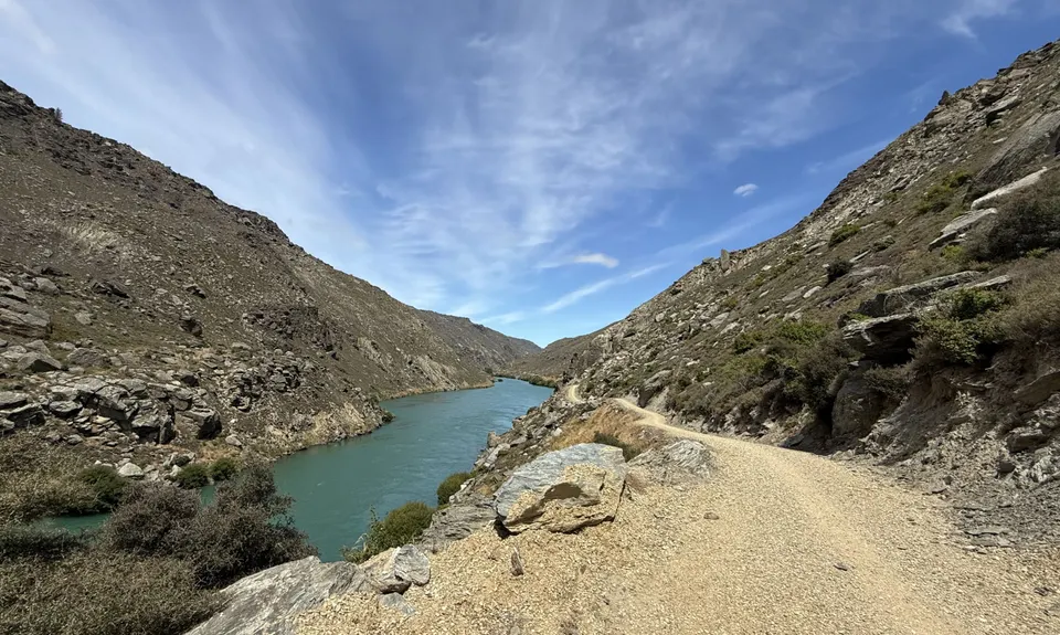
Here you follow the arrow for Flat Top Hill and start climbing. Several times you will think the crest of the hill is just ahead, only to find it climbs further once you get there. Eventually though you will reach the top having climbed about 395m vert in 2.4km. Once on top veer right and look for the orange pole on your left, just after that there is a grass path off to the left that leads you too another sign-board. Follow the walking trail and keep an eye out for Over Thyme Track, this is a lovely wee single trail that winds down the hill and joins Basin View Track. From there you can see the finish, just follow Basin View Track back to the start point and relax!

Lots... firstly Butchers Gully Dam which is pretty cool, then some great views from above and beside the Clutha River. Once you get higher you get amazing rock formations and views of the surrounding snow covered hills and the whole Clutha Valley... very special.

Plenty of carparking

9 km

11 minutes

Unknown

No

Moderate.

Take this guide, either as a pdf on your phone or printed. Also you can use TrailForks app which will show you the trails and where you are on them.

Patchy.

Thermal leggings, Long-sleeved thermal top, Seam-sealed waterproof jacket, Windproof jacket, Gloves, Beanie/thermal headwear, Personal Locator Beacon (PLB), Whistle, First aid kit, Extra food for emergencies, Survival bag, Survival blanket, Cellphone, Map

Other than the start and finish at the lake, you don't really get close enough to any water to use it.

It had rained most of the week before I visited and the trails were great, a couple of slightly sticky bits, but nothing to worry about. After a good snow storm you would find large parts of the upper trails under snow.

Slippery and unstable rocks... be very careful, especially on downhills.

Trail Legend

NP

Nelson Pearson

has completed Flat Top Hill v2 once in the last year.

Learn about Trail Legends.

You and Flat Top Hill v2

As a VIP member you can record private notes for this trail, see all of your times and more.

Register Now

Already have an account? Login now

Trail Reviews

Loved it! Directions were very detailed and easy to follow and was rewarded with amazing views of the scenery! Cannot recommend this run enough 😊

Holly Barclay

June 2, 2021

The Rock of Doom descent is superb. Suprised that Mike only gave it four stars. Its short but very sweet & is the smileyist descent i've done in a while. The uphill isn't too bad at all and has a few flat spots to stretch out on. (if doing in the trail in reverse which is also worthwile the chicken routes on R of D are very handy on the uphill)There are loads of other trails up here, well worth setting aside a few hours for exploring.

Matt Doherty

January 8, 2020

Login to submit a review

Trail Running Community

Find people who are interested in or have completed this trail run.

You must register or login to view this feature.

Register Now

Overlapping Trails

These overlap with this trail to some degree. You may wish to combine them but please note that to qualify for FKTs on these runs you should record a separate activity for each.

Flat Top Hill

Flat Top Hill

Length: 13.1km

Level: Intermediate

Roxburgh Gorge

Roxburgh Gorge

Length: 19.5km

Level: Beginner - Intermediate

Doctor's Point Return

Doctor's Point Return

Length: 19.7km

Level: Experienced

Other trails nearby
Earnscleugh Tailings

Earnscleugh Tailings

Length: 10.6km

Level: Beginner

Alex to Clyde... And Back!

Alex to Clyde... And Back!

Length: 24.0km

Level: Beginner

Shakey Loop

Shakey Loop

Length: 10.0km

Level: Beginner - Intermediate

Galloway Gallop

Galloway Gallop

Length: 25.3km

Level: Beginner

Find more trails and peaks nearby