Last Updated: 4th May 2026
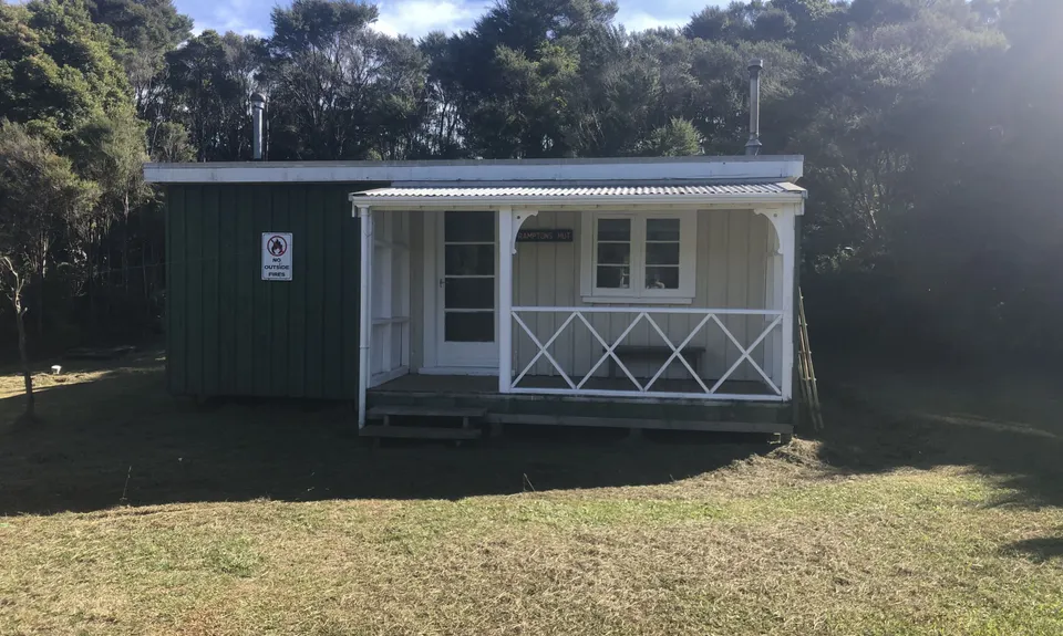
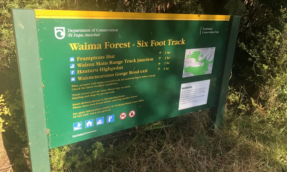
6 Foot Track - NZ Style
Last Updated: 4th May 2026
Grunt Factor: 10 ?
Gnarl Factor: 44 ?
6.8km
200m
200m
511m
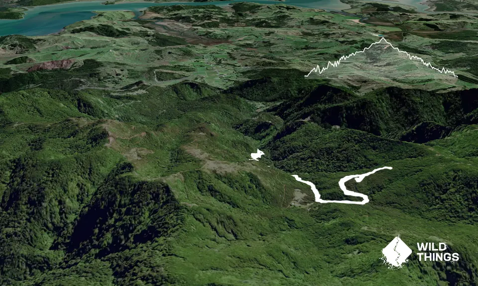
Trail Map
This Topo layer only covers NSW/ACT.
Switch to another map layer when viewing outside this area.
Switch to another map layer when viewing outside this area.


