Last Updated: 21st Sep 2023
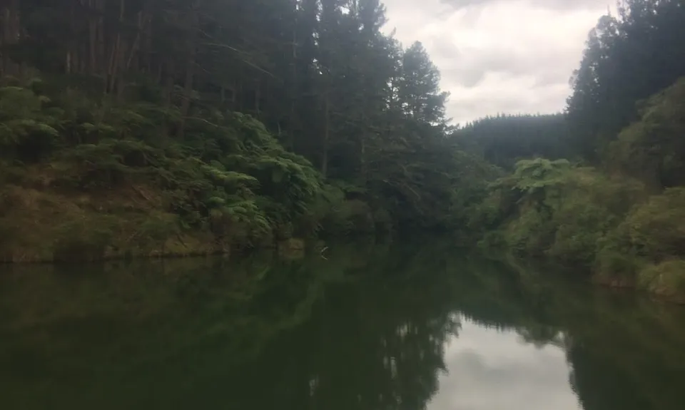
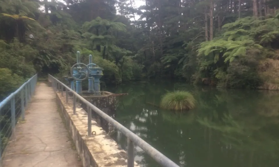
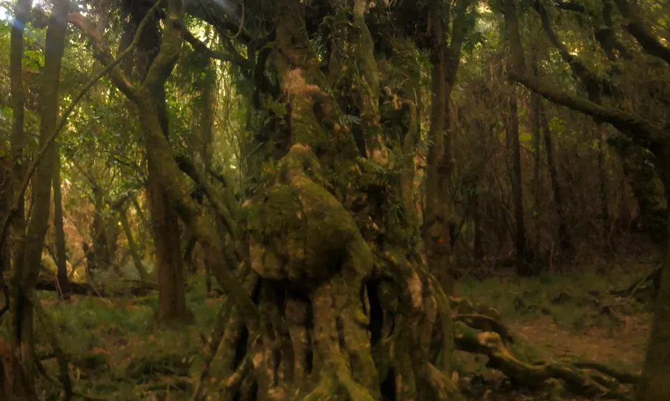
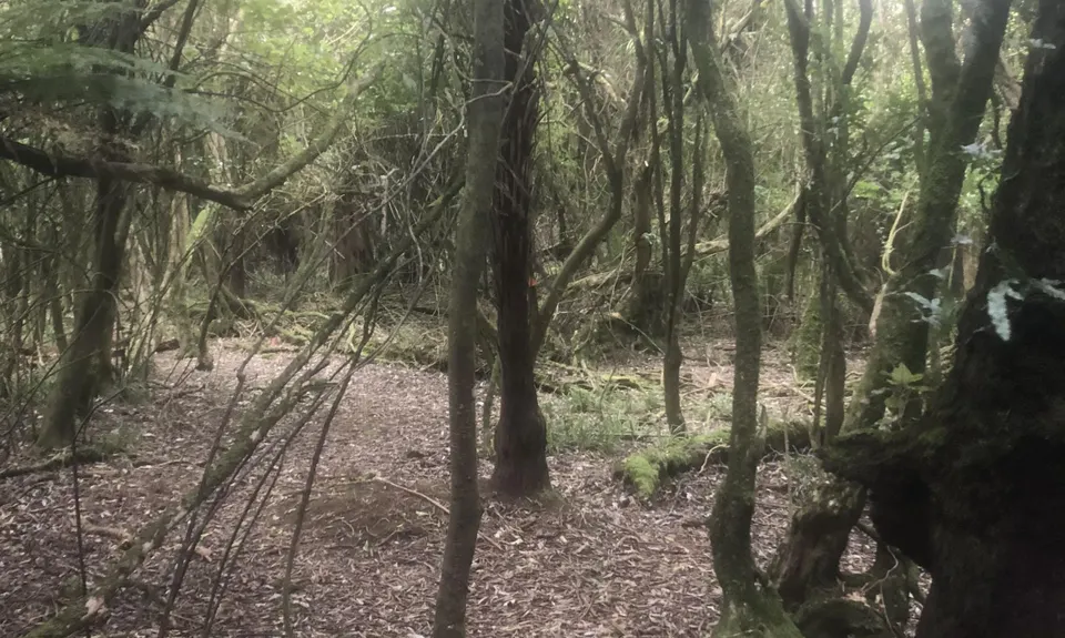
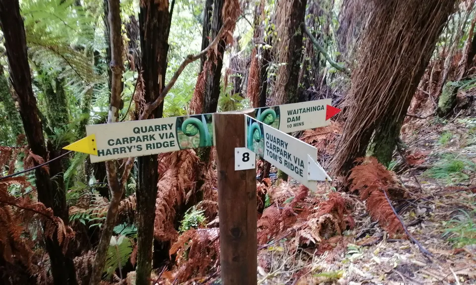
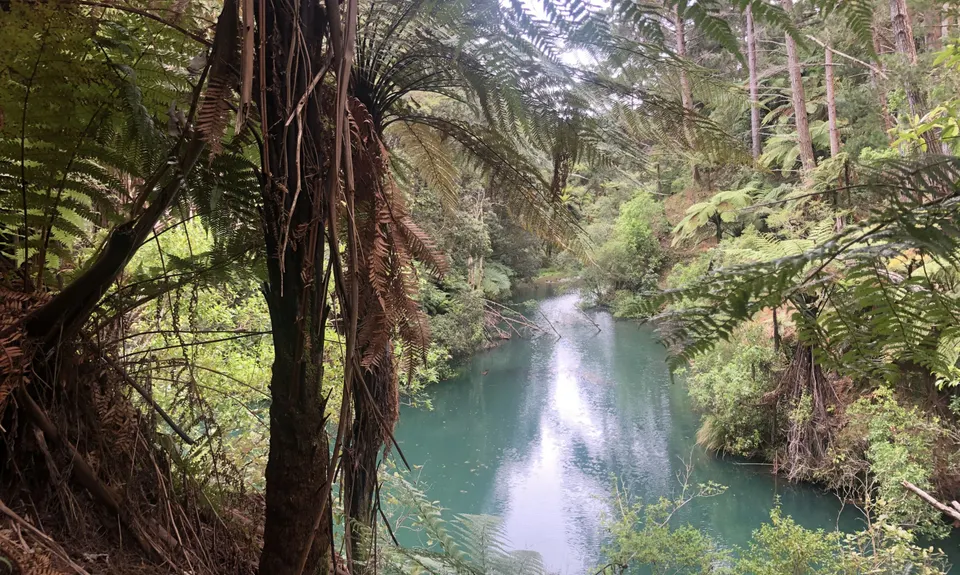
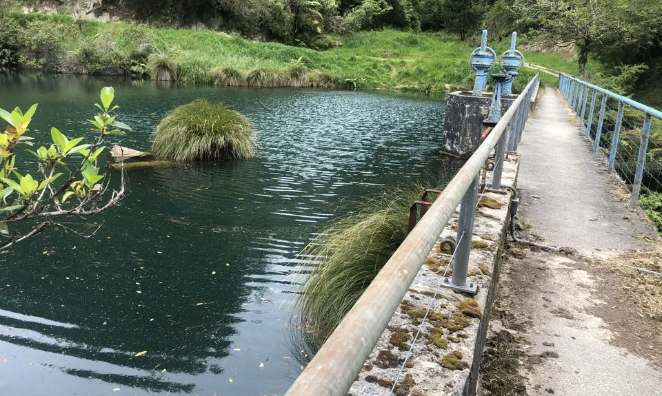
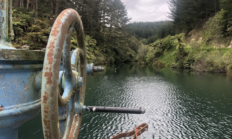
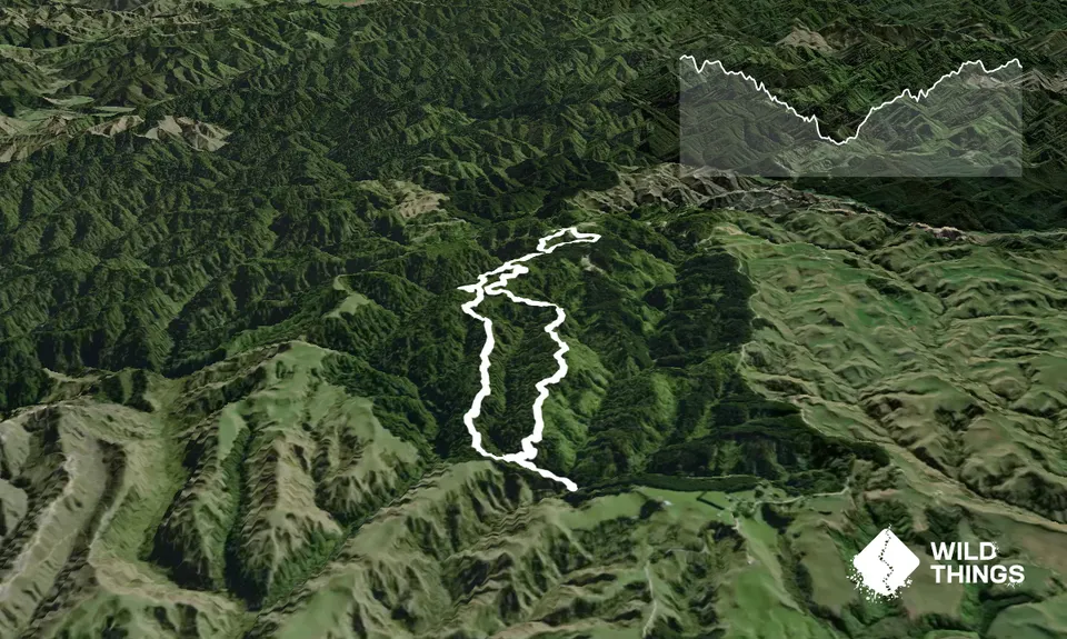
Waitahinga Dam Loop
Last Updated: 21st Sep 2023
Open
Grunt Factor: 21 ?
Gnarl Factor: 76 ?
10.0km
530m
535m
556m


Trail Map
This Topo layer only covers NSW/ACT.
Switch to another map layer when viewing outside this area.
Switch to another map layer when viewing outside this area.


