Last Updated: 27th May 2025
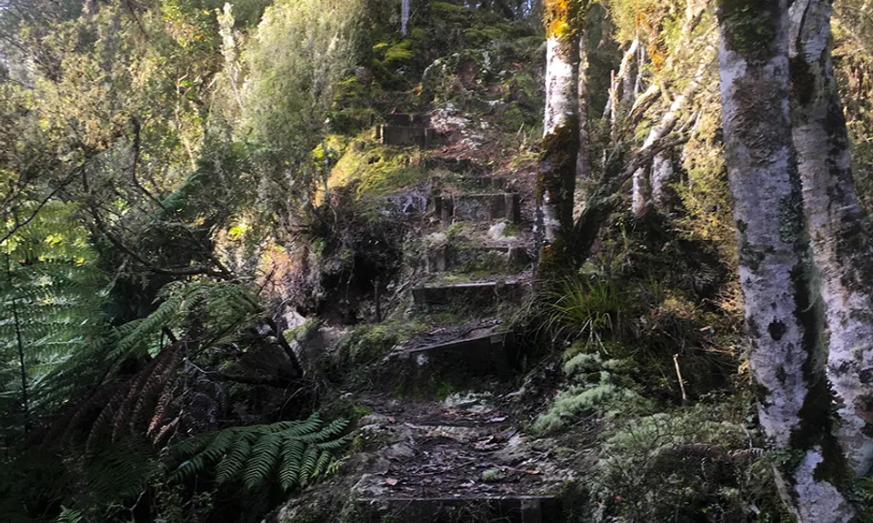
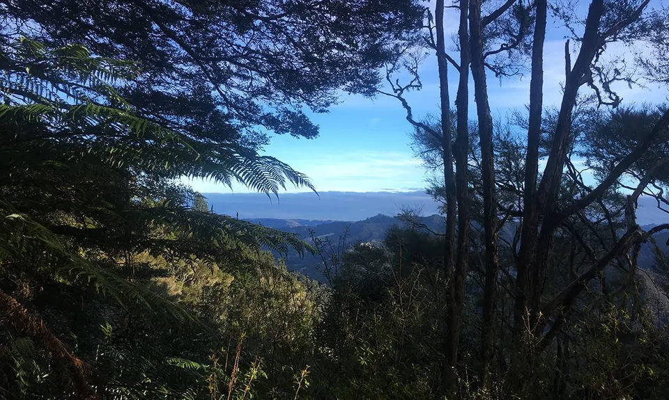
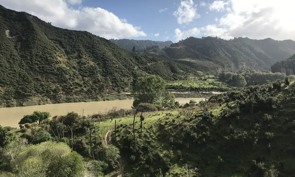
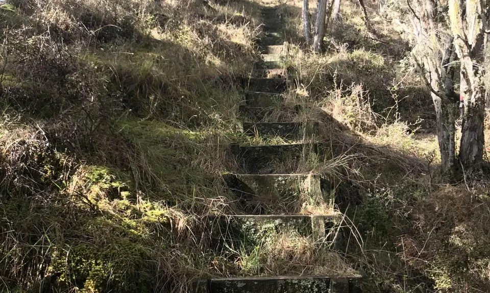
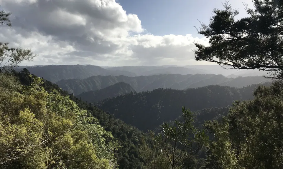
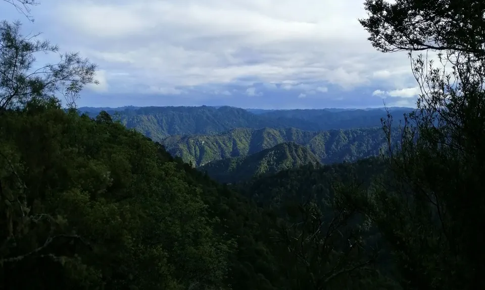
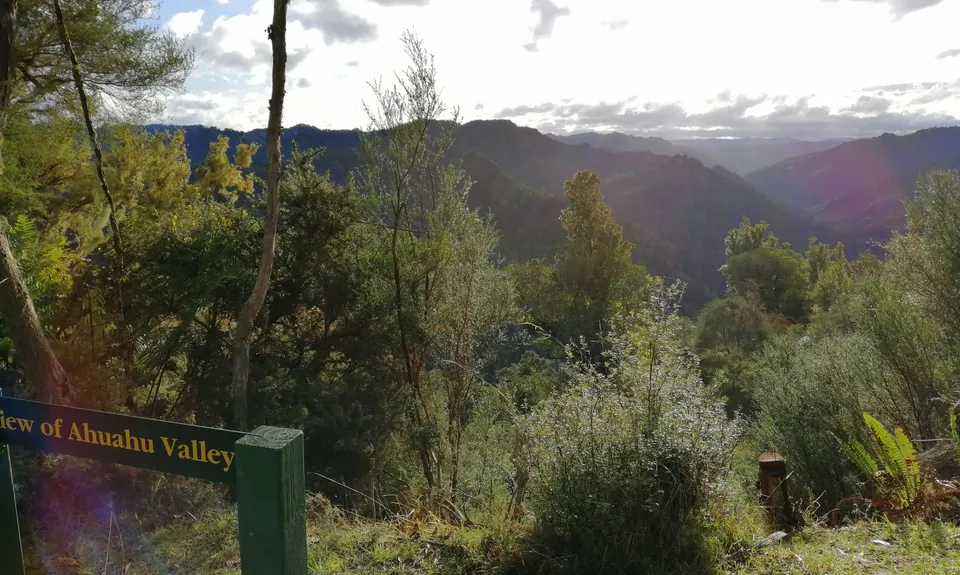
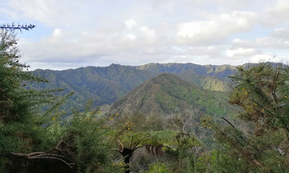
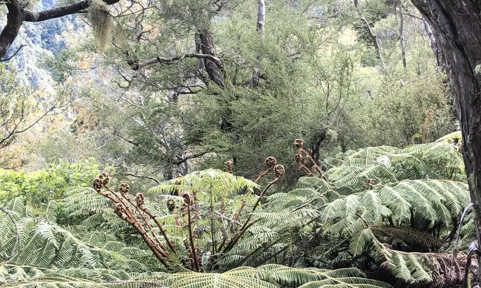
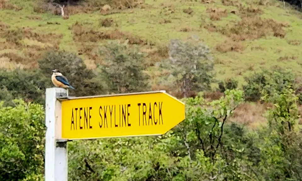
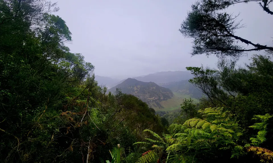
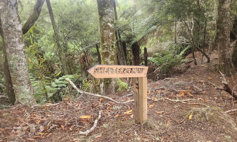
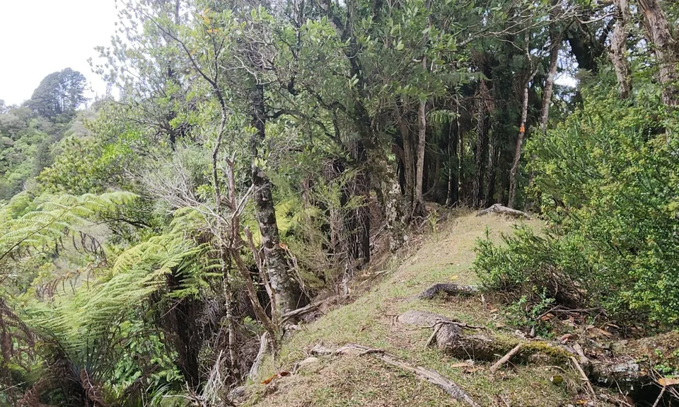
Atene Skyline Track
Last Updated: 27th May 2025
Open
Grunt Factor: 39 ?
Gnarl Factor: 58 ?
15.7km
1000m
1000m
802m


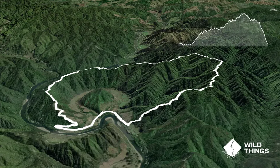
Trail Map
This Topo layer only covers NSW/ACT.
Switch to another map layer when viewing outside this area.
Switch to another map layer when viewing outside this area.


