Last Updated: 1st Feb 2026
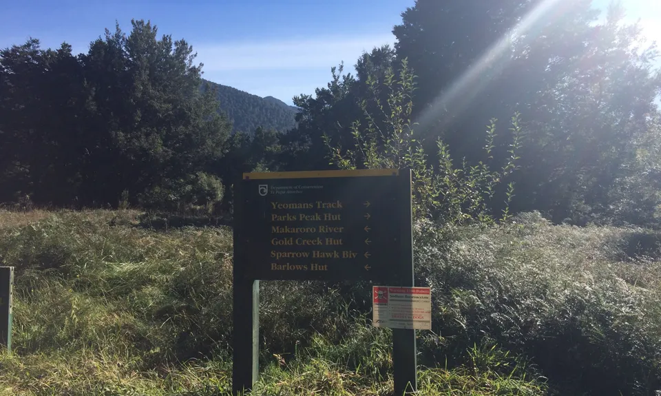
Yeoman's Track
Last Updated: 1st Feb 2026
Closed More info
All water crossings on this track have been extensively damaged or washed away. The track is closed as the structures are unsafe. This is a long term alert.
Please notify us if this has changed.
Grunt Factor: 29 ?
Gnarl Factor: 15 ?
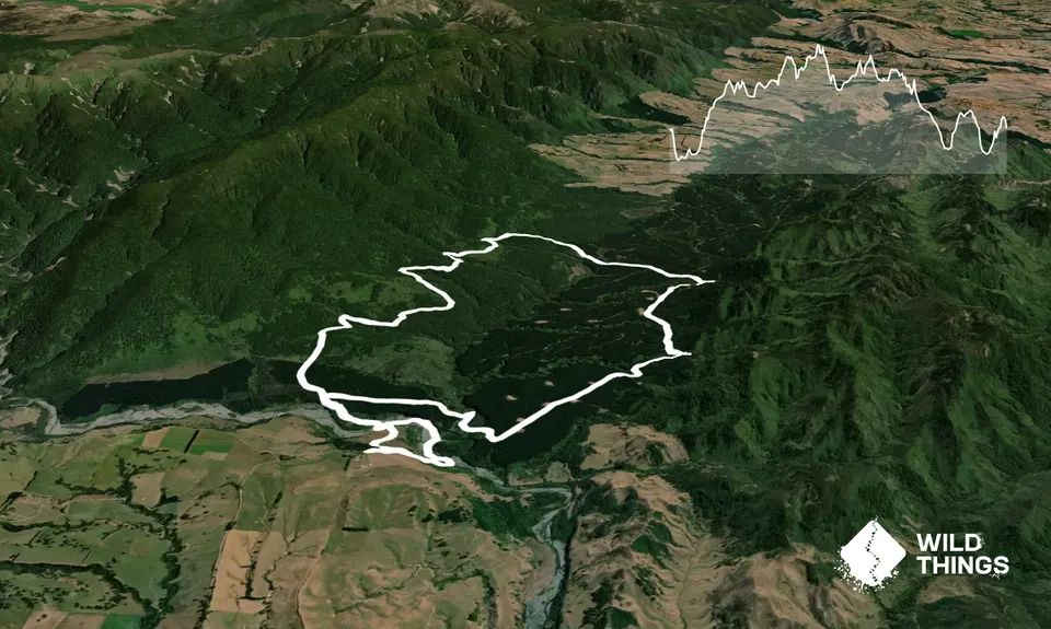
20.0km
570m
570m
610m
Trail Map
This Topo layer only covers NSW/ACT.
Switch to another map layer when viewing outside this area.
Switch to another map layer when viewing outside this area.


