Last Updated: 30th Dec 2025
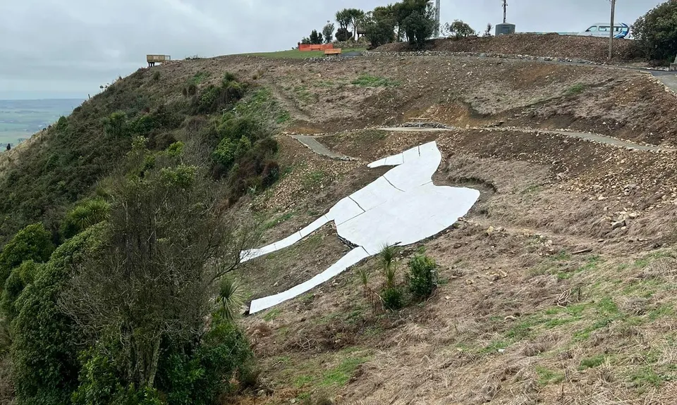
The White Horse Bites!
Last Updated: 30th Dec 2025
Open
Grunt Factor: 17 ?
Gnarl Factor: 21 ?
11.5km
670m
660m
412m
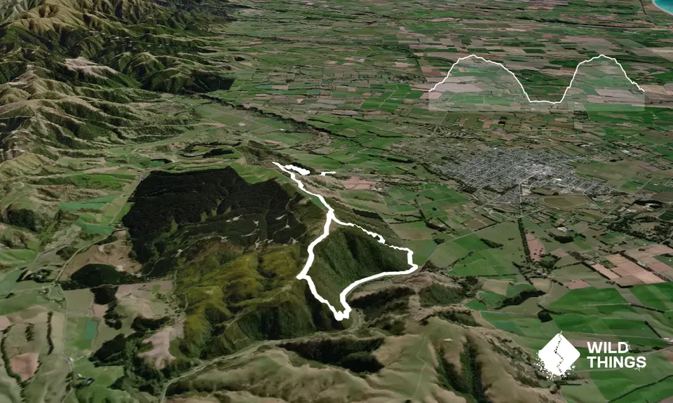
Trail Map
This Topo layer only covers NSW/ACT.
Switch to another map layer when viewing outside this area.
Switch to another map layer when viewing outside this area.


