Last Updated: 21st Sep 2023
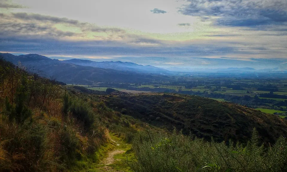
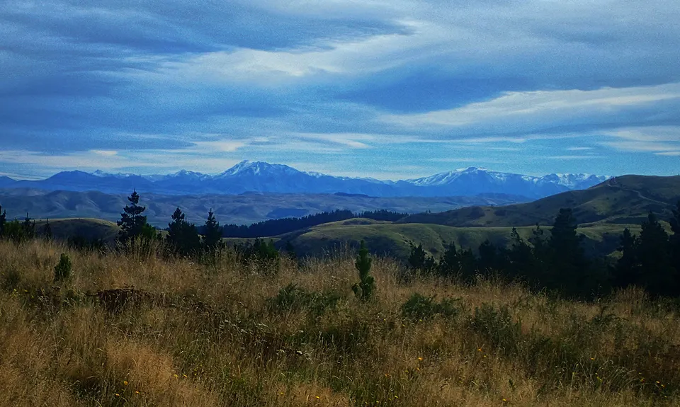
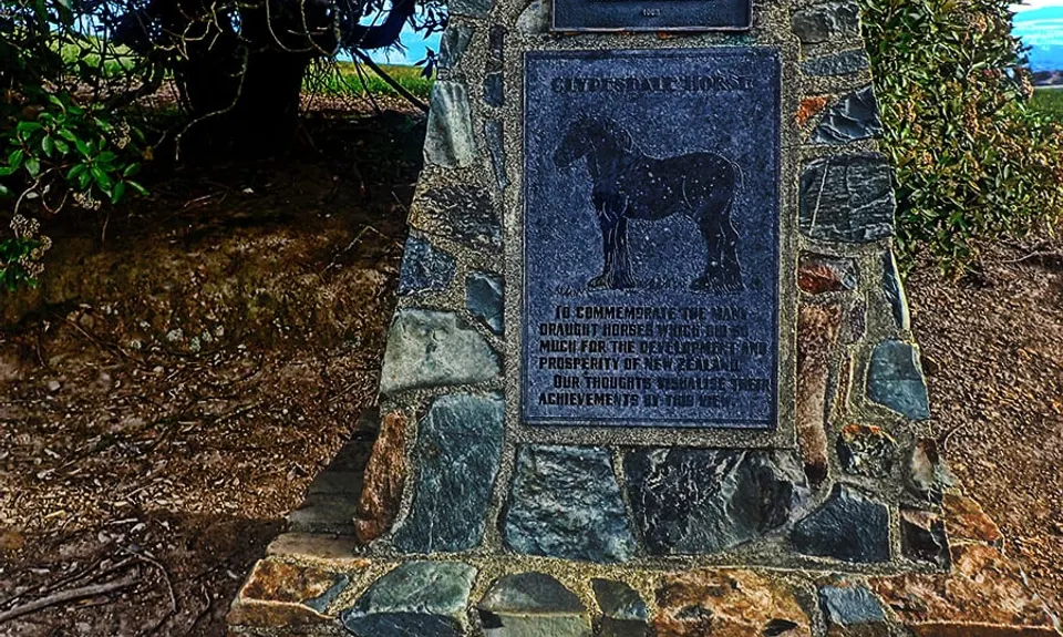
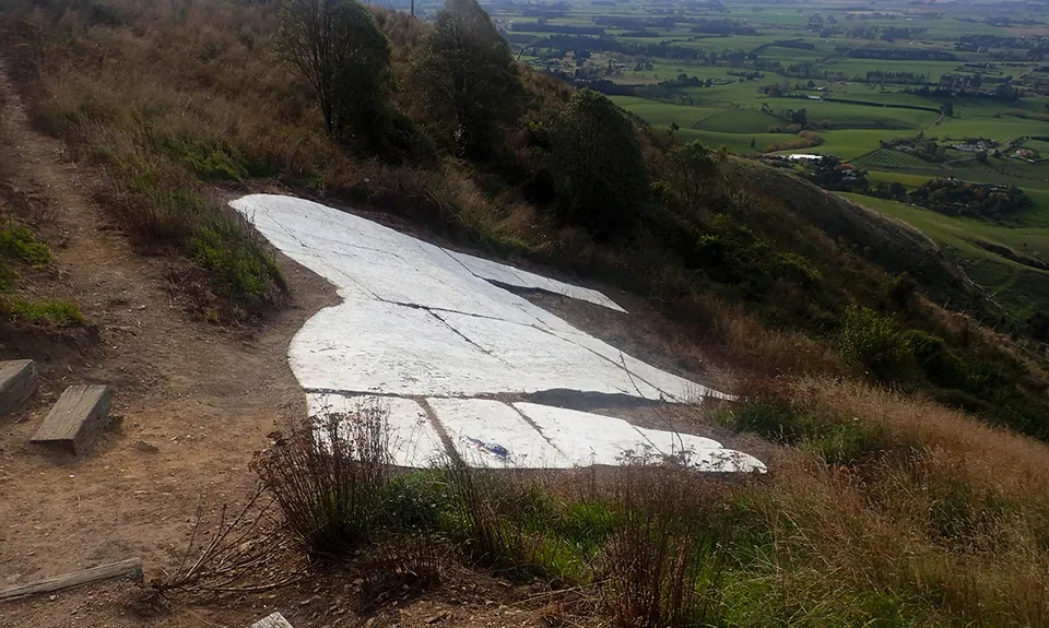
Harvey Moore Whitehorse Loop
Last Updated: 21st Sep 2023
Open
Grunt Factor: 16 ?
Gnarl Factor: 17 ?
13.0km
465m
465m
398m
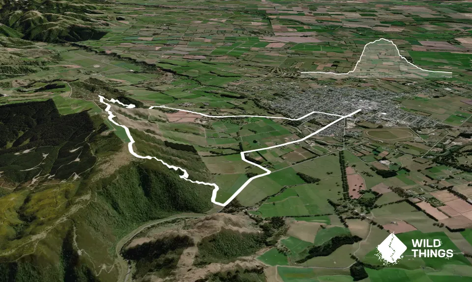
Trail Map
This Topo layer only covers NSW/ACT.
Switch to another map layer when viewing outside this area.
Switch to another map layer when viewing outside this area.


