Last Updated: 12th Dec 2025
Gunn It!
Last Updated: 12th Dec 2025
Grunt Factor: 8 ?
Gnarl Factor: 23 ?
4.7km
200m
195m
371m
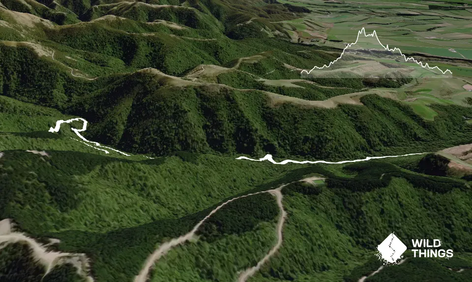
Trail Map
This Topo layer only covers NSW/ACT.
Switch to another map layer when viewing outside this area.
Switch to another map layer when viewing outside this area.


