Last Updated: 30th Dec 2025
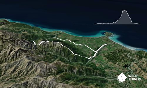
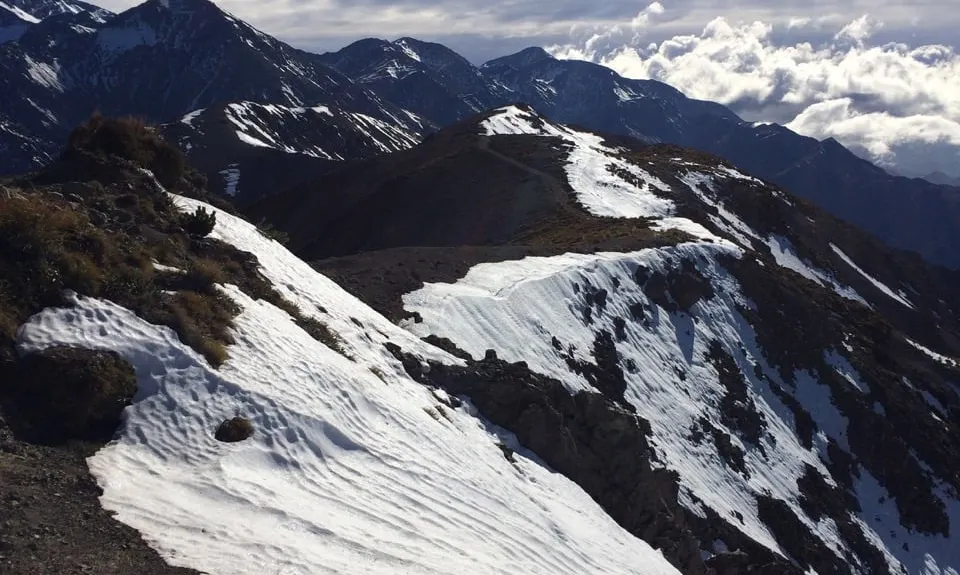
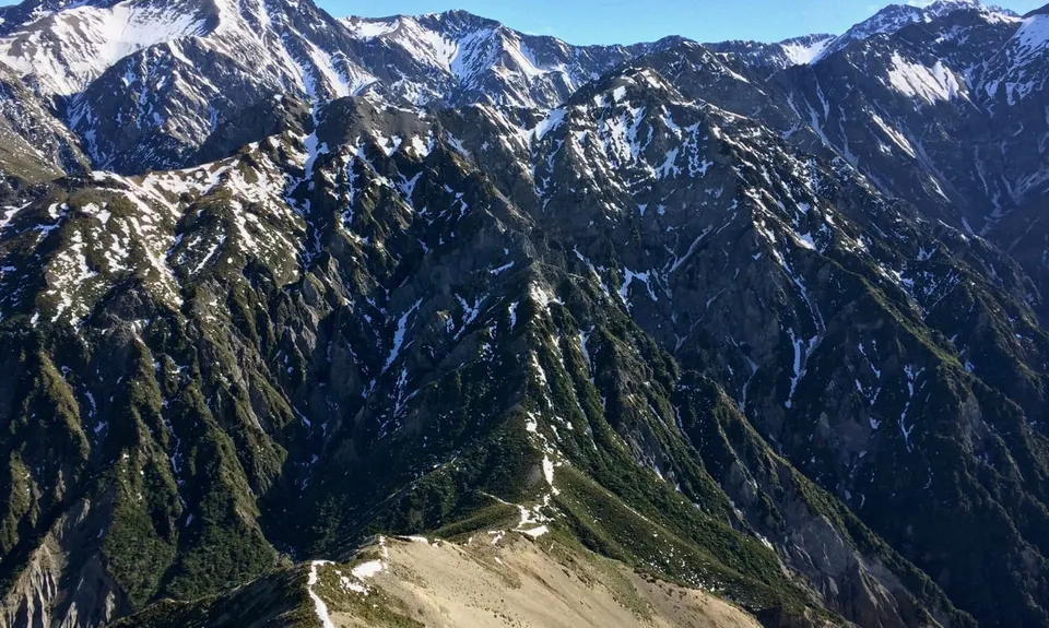
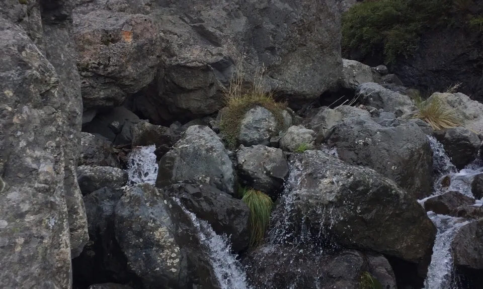
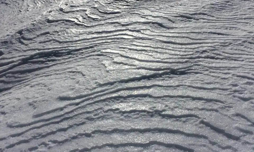
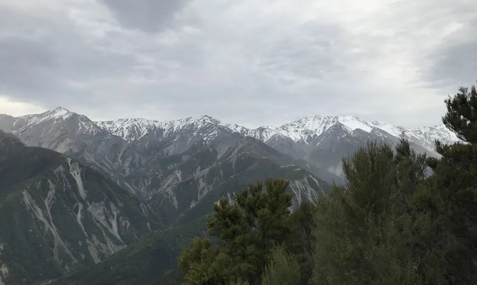
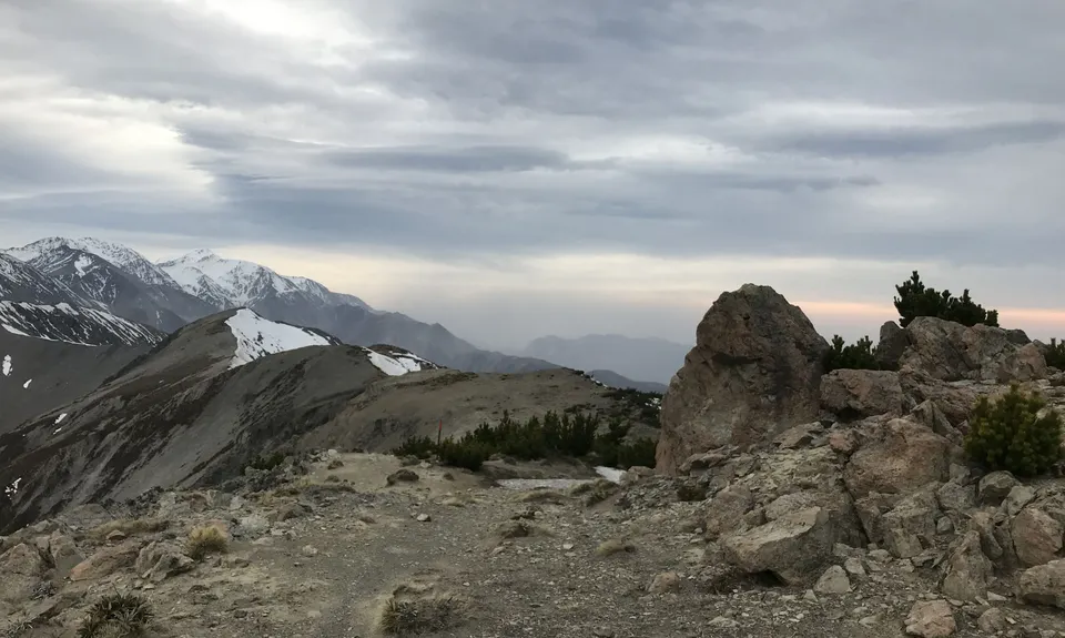
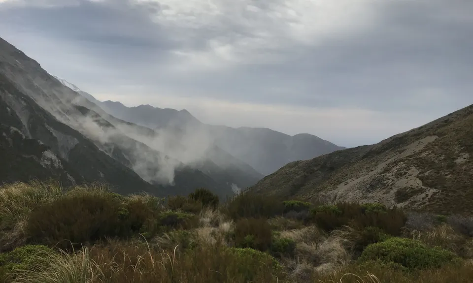
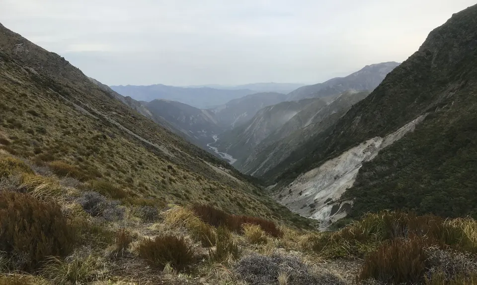
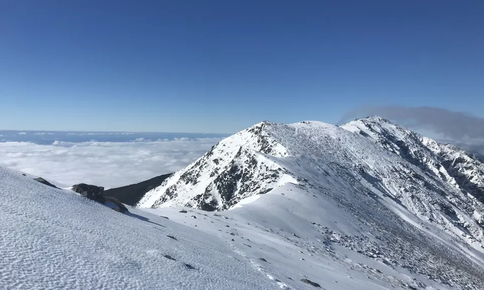
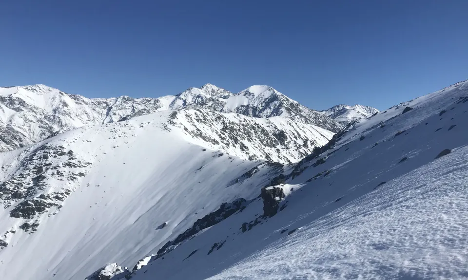
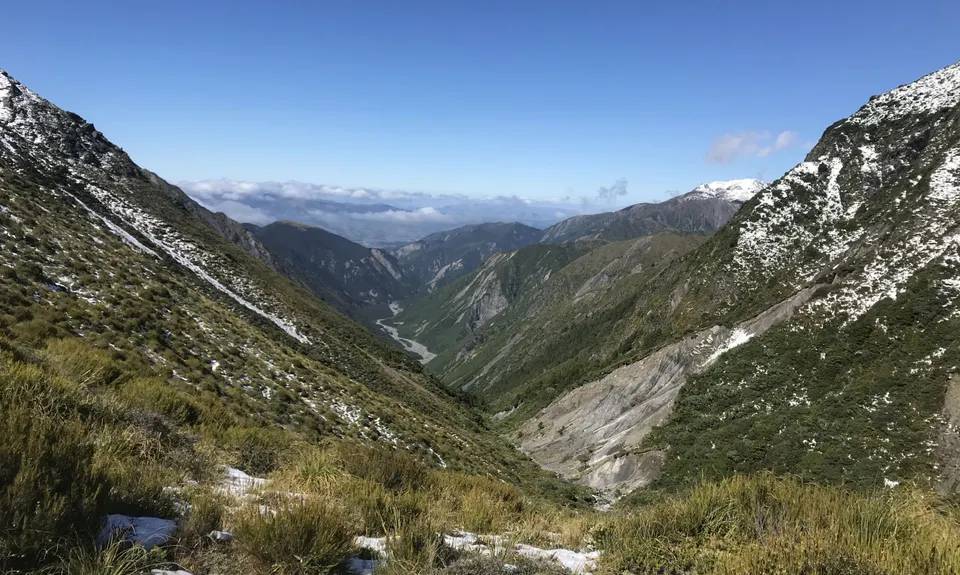
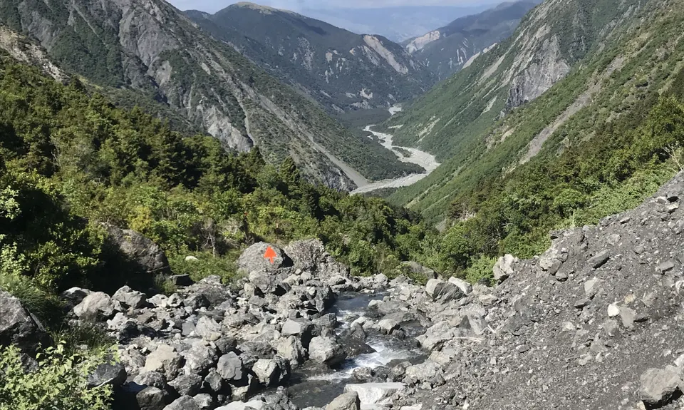
Mt Fyffe-Kowhai Saddle circuit
Last Updated: 30th Dec 2025
Open
Grunt Factor: 47 ?
Gnarl Factor: 43 ?
27.0km
1600m
1600m
1602m


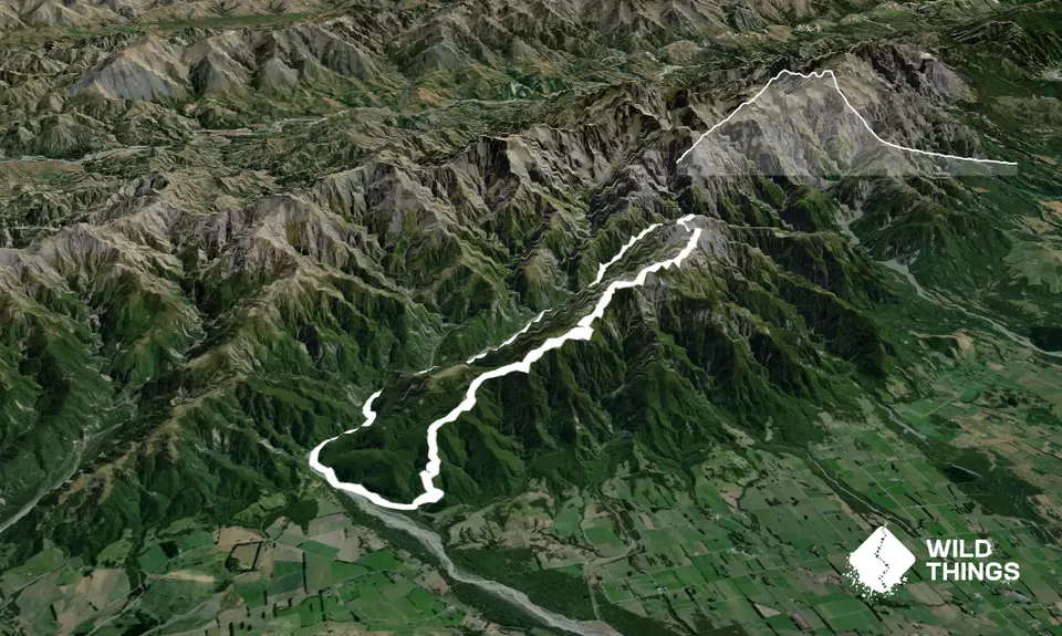
Trail Map
This Topo layer only covers NSW/ACT.
Switch to another map layer when viewing outside this area.
Switch to another map layer when viewing outside this area.