Last Updated: 21st Sep 2023
I've done it Done
Save Peak Save
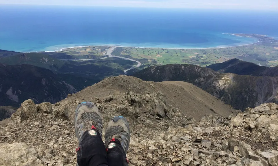
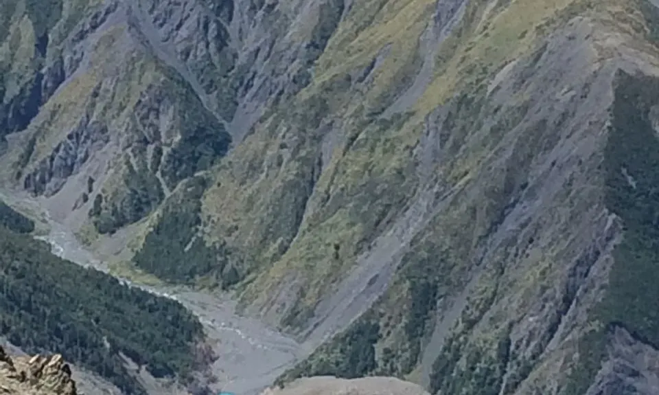
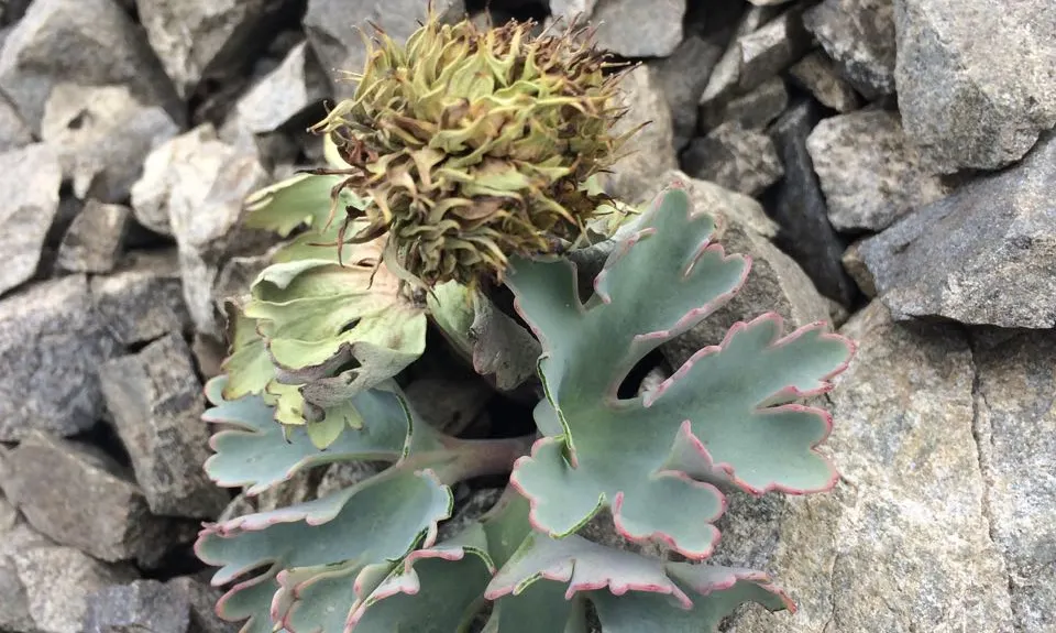
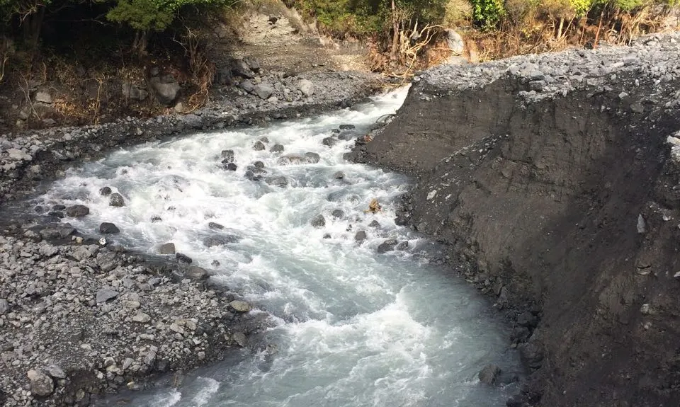
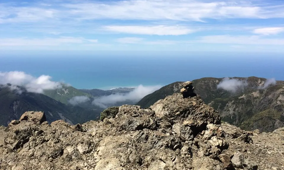
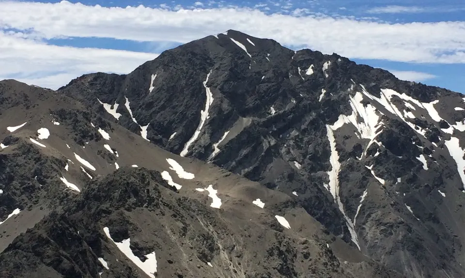
Uwerau
Canterbury, New Zealand
Last Updated: 21st Sep 2023
I've done it Done
Save Peak Save
No known access issues
Proudly supported by 
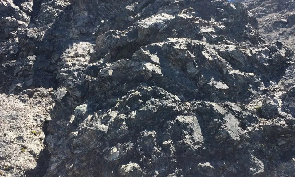
Extreme
Some very hard rock scrambling and/or severe exposure, and should only be attempted by those experienced in mountaineering and alpine conditions.
2,213m
-42.25124, 173.62793
BT27 5180 2214
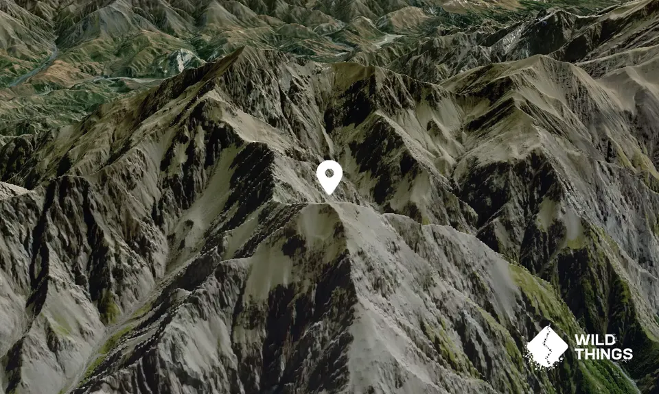
Peak Map
This Topo layer only covers NSW/ACT.
Switch to another map layer when viewing outside this area.
Switch to another map layer when viewing outside this area.


