Urban fringe
Loop
Very hilly
Dog Friendly
Native bush
Gravel / Boardwalk
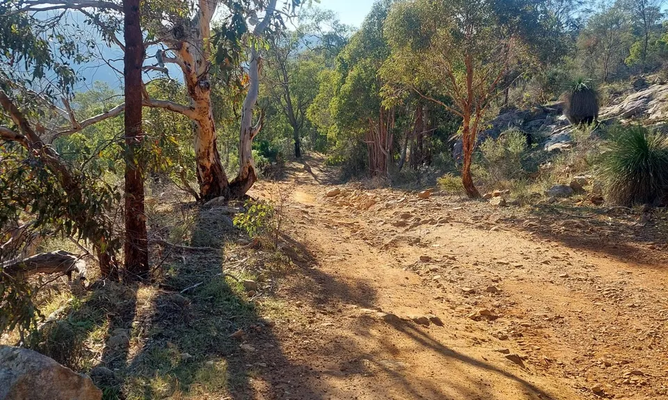
Farm Road / 4WD Track
Technical Single Track
Untracked / Route only
Average Uphill Gradient: +10.20%
Average Downhill Gradient: -10.10%
VIP Feature: Send this route to your Garmin account so you can follow the course on your Garmin device.
Become a VIP Member to see the trailhead information.
2:45
Slow
2:15
Moderate
1:45
Fast
We are eager to expand our Trail Running Directory in Australia. Submit a trail and earn a free month of VIP.
This trail is not well signposted, so it is strongly recommended that you carry a map or load the GPX route onto your watch or phone. There are several intersecting trails in the area, making it easy to take a wrong turn.
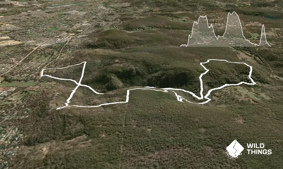
Start from the car park on South Western Highway. From the trailhead sign, take the left-hand trail, Wungong Gorge Walk.
After approximately 1 km, you will reach a crossroads. Turn right and continue over Bevis Court Climb, turn left at the next cross road until you rejoin the Wungong Gorge Walk trail. If you are following a GPX route, this section is straightforward.
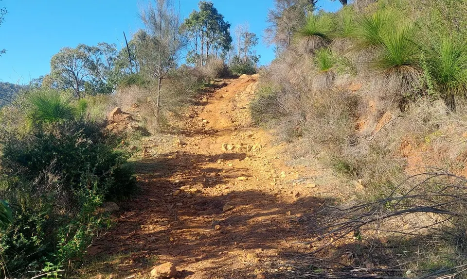
Just before the 7 km mark, while on the Wungong Gorge Path, you will see a 4WD track on the left. Continue for another 10–20 metres and look for a steep track on the right that climbs directly up the hill. It may not appear to be an official trail, but this is the correct route.
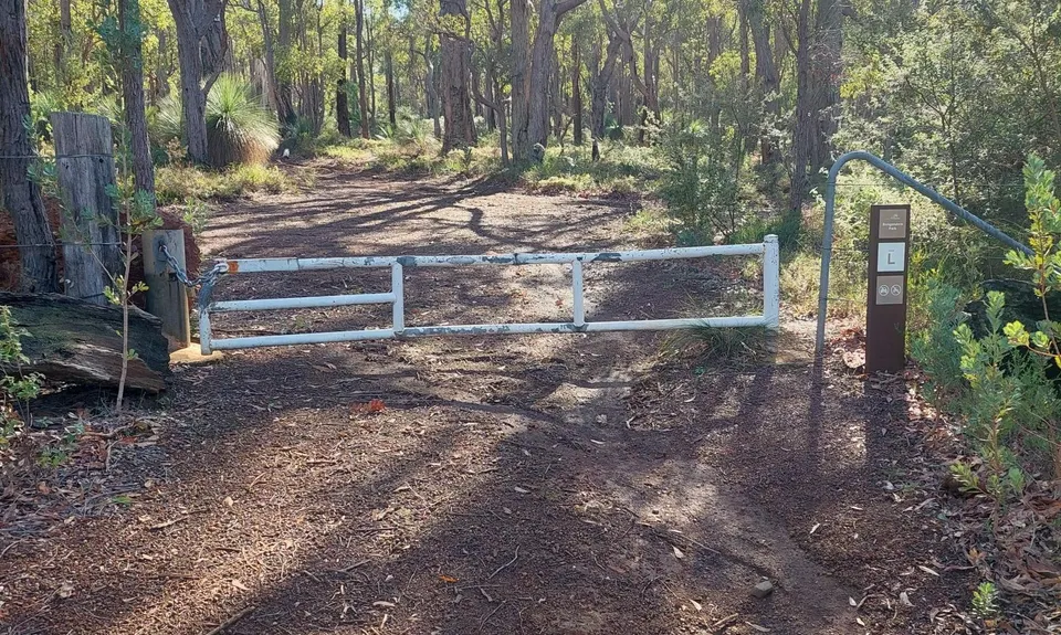
The steep track joins a single-track trail through the bush. Follow this trail until it reaches a wider trail. Pass through the white gate and turn left onto the wide trail.
You are now entering Bungendore Park.
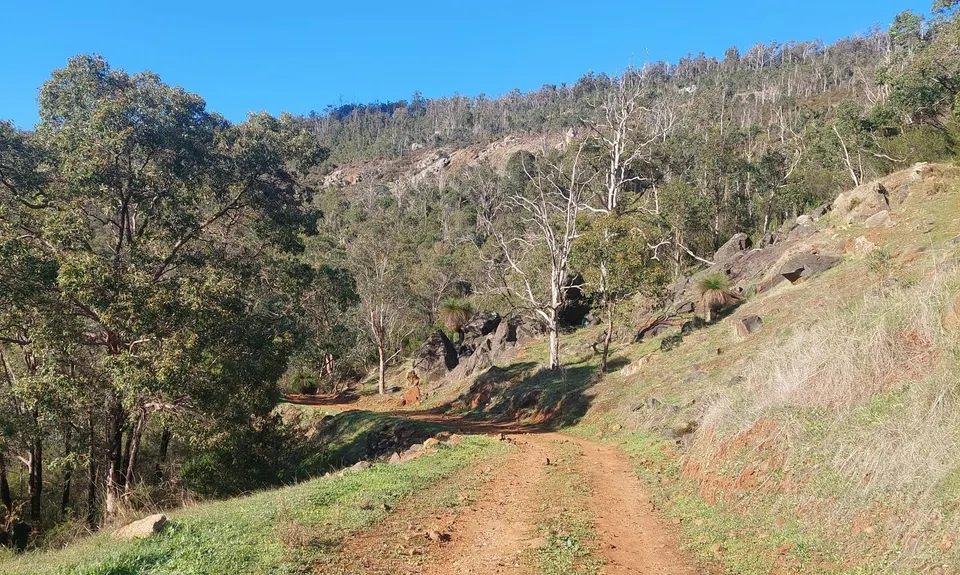
Follow the trail along the fence line, then turn left, continuing around the fence. Stay on this wide track until you reach another wide trail and pass through a second white gate. Continue following the track until it reconnects with the Wungong Gorge Path.
Follow the Wungong Gorge Path until you return to the same crossroads encountered near the start of the route (1 km in). Turn right, climb the steep hill, and at the top turn left.
Continue downhill towards a house. Between the fenced area and the house, there is a narrow right of way. Follow this path down to the road, turn left, and run approximately 200 metres along the road to return to the car park.
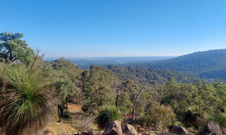
Valley views, creeks, wildlife.
If you know of any public toilets near the trail start or on the route, please login and then let us know so we can update this section.
Car park available. Possible public transport (bus) nearby.
4 km
5 minutes
Yes
No
Moderate.
GPX or map recommended.
Patchy.
Seam-sealed waterproof jacket, Whistle, First aid kit, Extra food for emergencies, Survival blanket, Cellphone, Compass, Map, Snake bandage
No safe drinking water available must bring your own. Ensure to bring 1.5-2 L in the warmer months.
Can get muddy in sections after rain. Can get hot in summer so take extra water.
Snake bites in the warmer months - bring a snake bandage. Steep, rocky hills wear trail running shoes.
Avocados Restaurant and Bar
Kelmscott
https://avocadoscafebar.com.au/
Good breakfasts and lunch
Bean Thru
Armadale
https://www.facebook.com/beanthruaus/
Good coffee and has a drive through
Do you have another suggestion on where to go afterwards for the best coffee / cake / breakfast / brunch / beer?
Trail Legend
Login as a VIP to become a Trail Legend. Learn about Trail Legends.
Fastest Known Times (FKTs)
You and Wungong Valley 14 Km
As a VIP member you can record private notes for this trail, see all of your times and more.
Already have an account? Login now