Last Updated: 17th Apr 2026
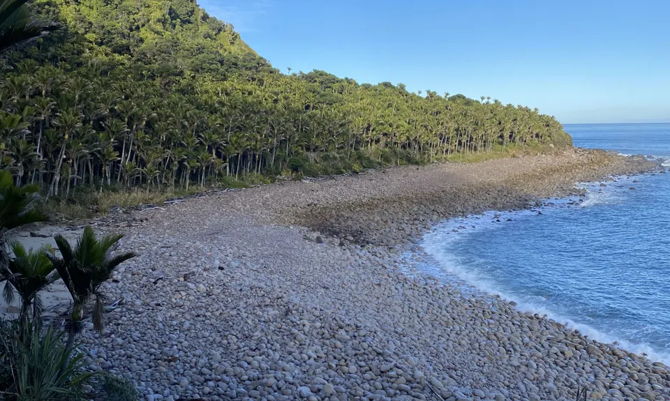
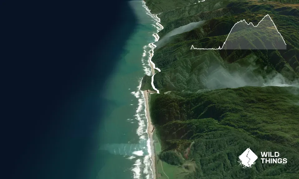
Heaphy West to East
Last Updated: 17th Apr 2026
Open
Grunt Factor: 89 ?
Gnarl Factor: 22 ?
78.4km
1680m
1530m
920m


Trail Map
This Topo layer only covers NSW/ACT.
Switch to another map layer when viewing outside this area.
Switch to another map layer when viewing outside this area.


