Last Updated: 20th Nov 2025
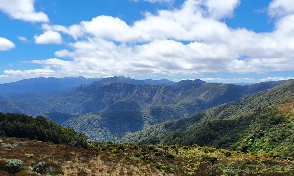
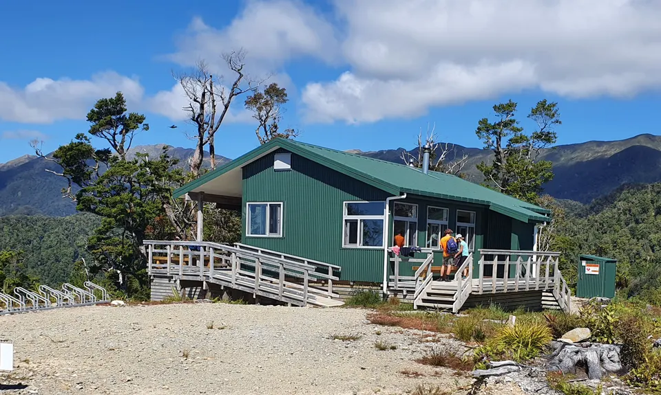
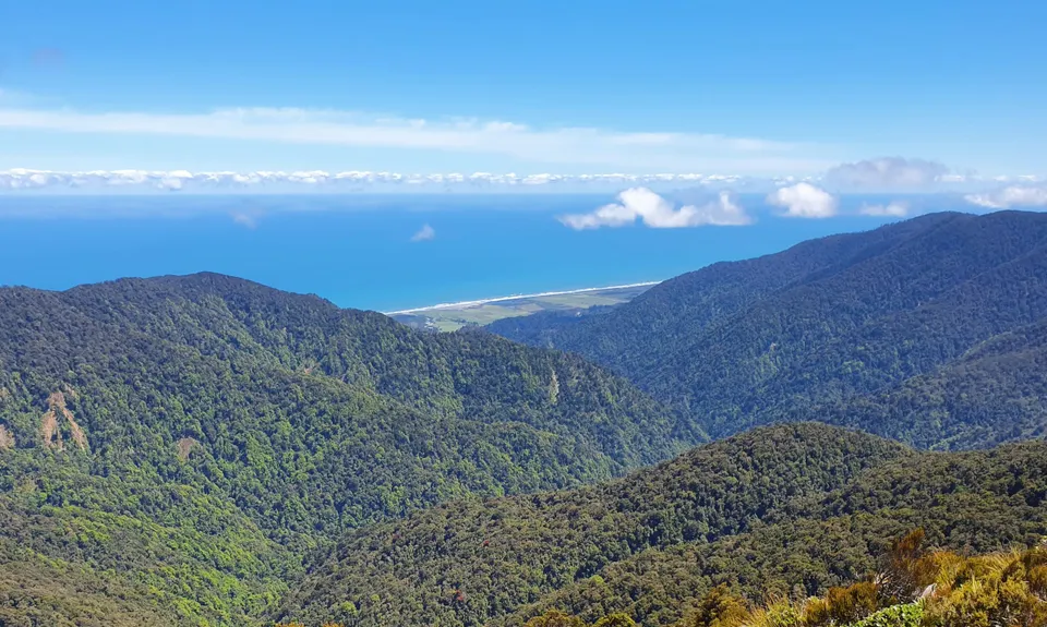
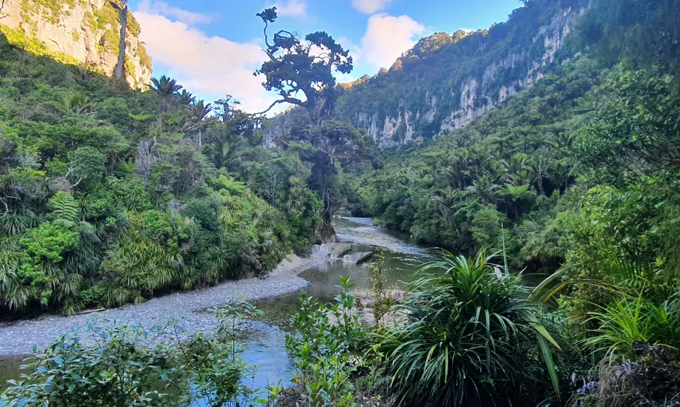
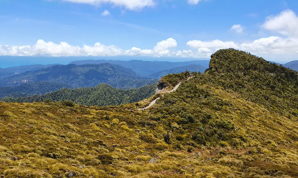
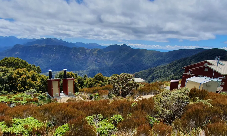
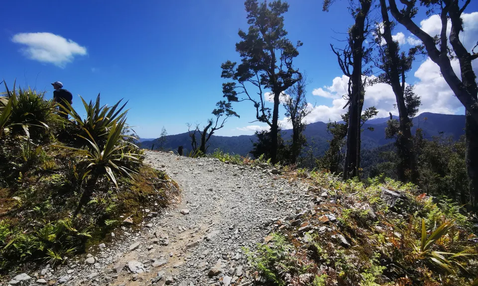
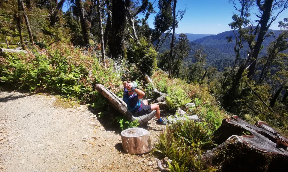
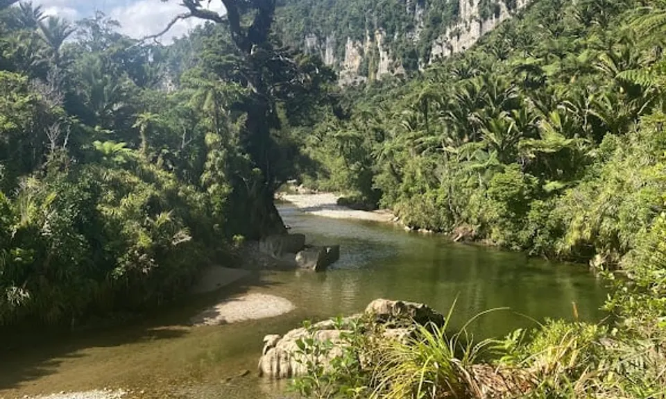
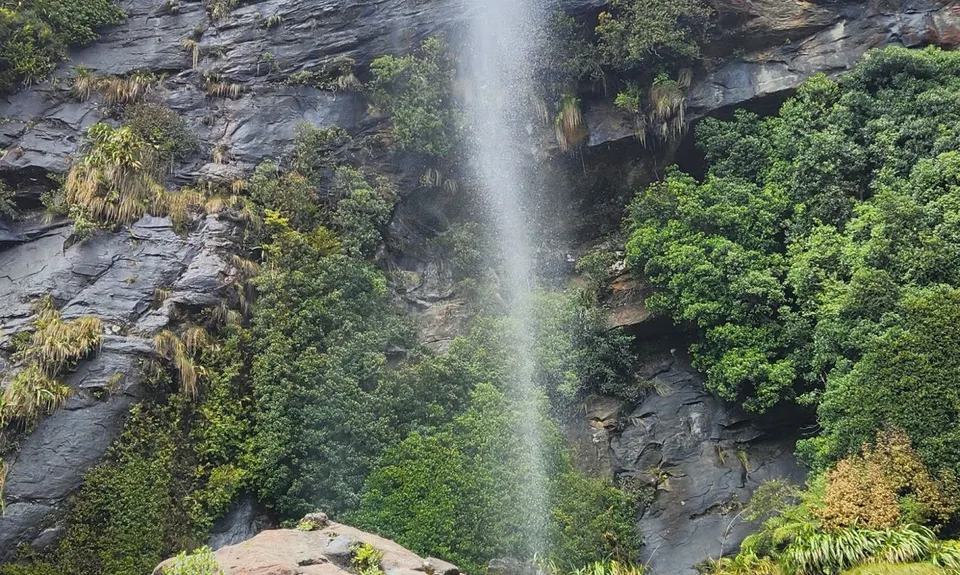
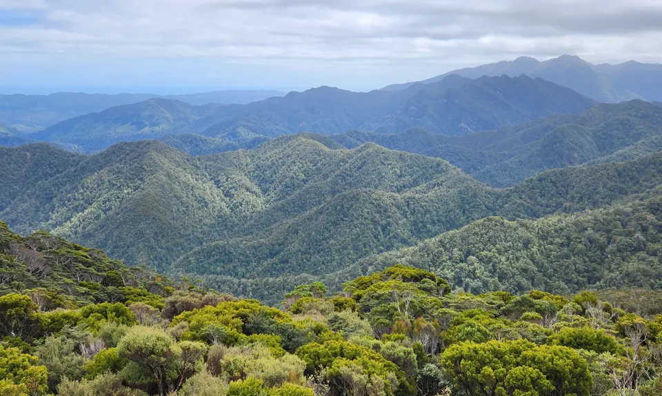
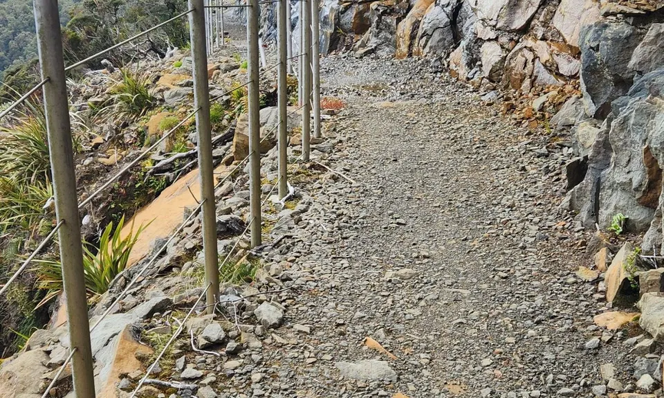
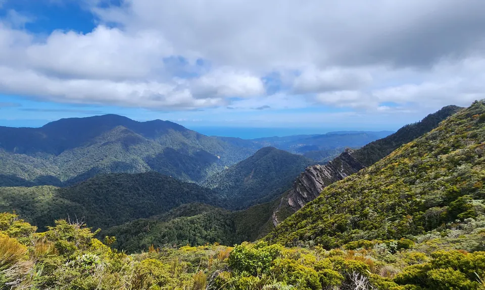
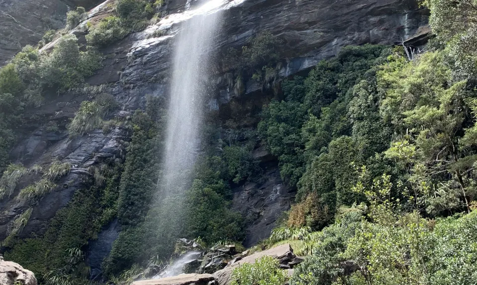
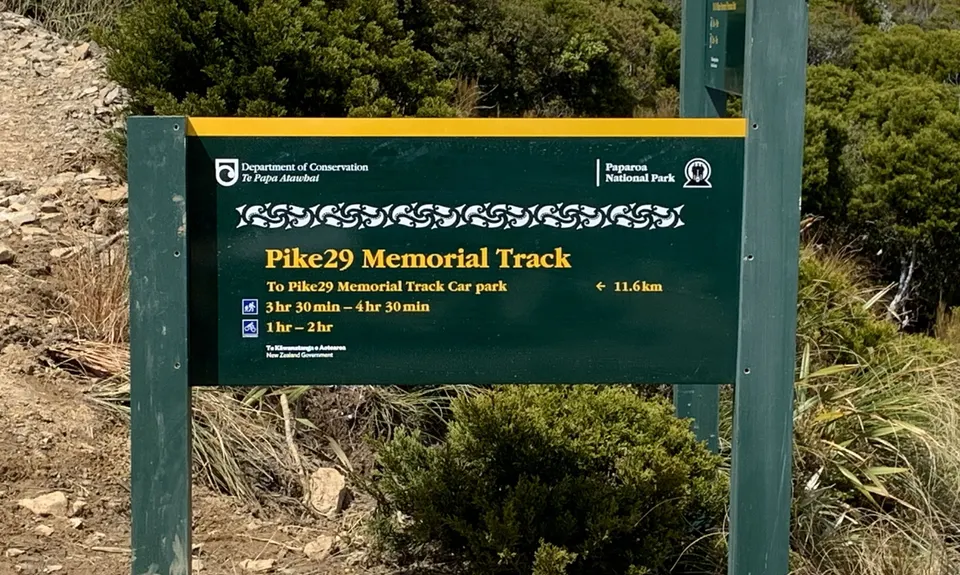
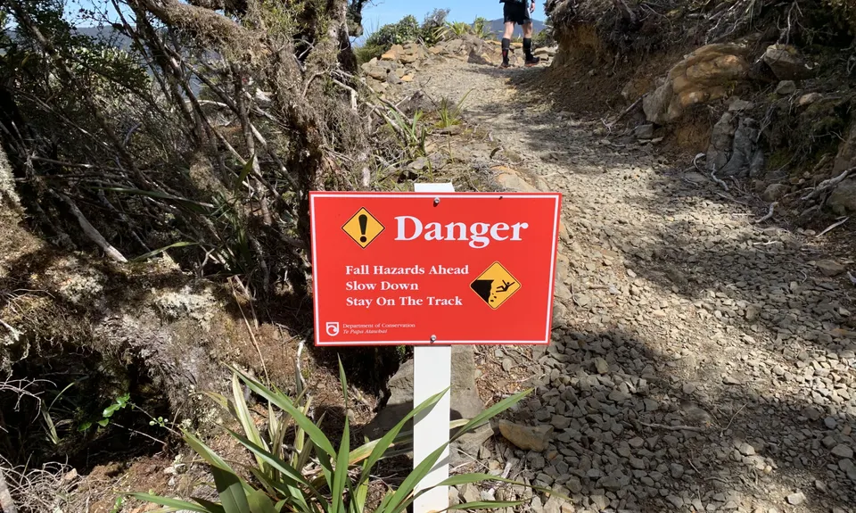
The Paparoa
Last Updated: 20th Nov 2025
Open
Grunt Factor: 67 ?
Gnarl Factor: 30 ?
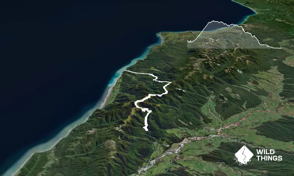
55.0km
1650m
1900m
1130m
Trail Map
This Topo layer only covers NSW/ACT.
Switch to another map layer when viewing outside this area.
Switch to another map layer when viewing outside this area.


