Last Updated: 21st Sep 2023
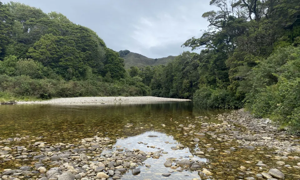
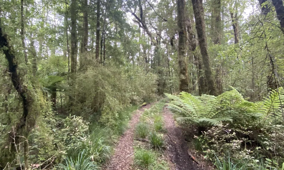
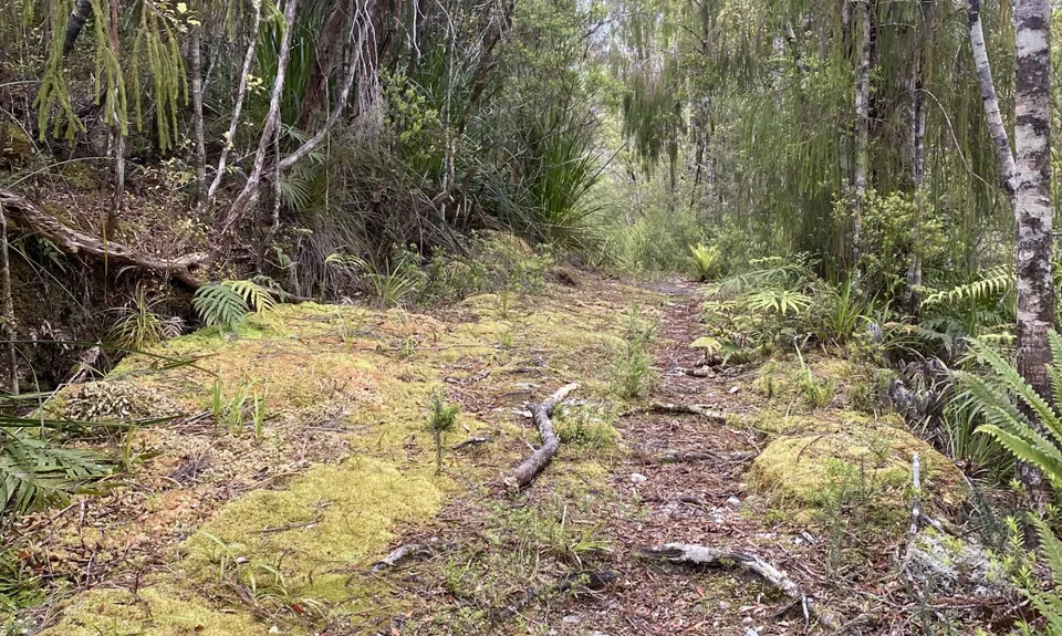
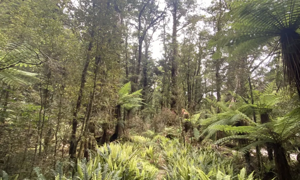
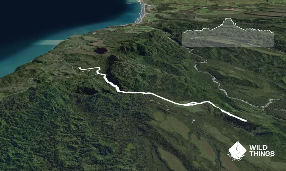
Tiropahi Trail
Last Updated: 21st Sep 2023
Grunt Factor: 22 ?
Gnarl Factor: 36 ?
19.5km
280m
280m
243m
Trail Map
This Topo layer only covers NSW/ACT.
Switch to another map layer when viewing outside this area.
Switch to another map layer when viewing outside this area.


