Last Updated: 26th Feb 2026
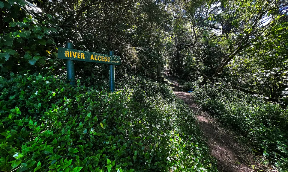
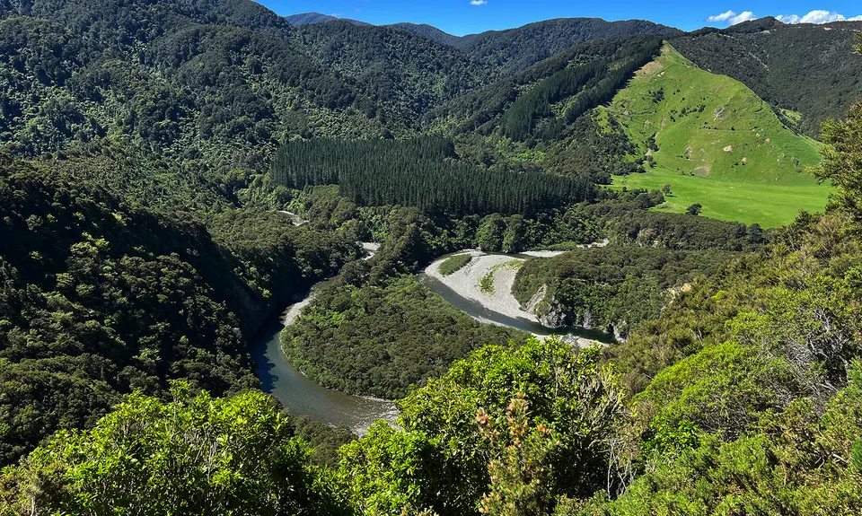
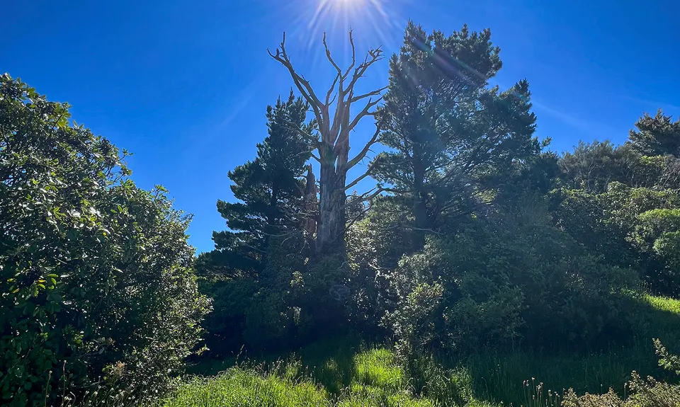
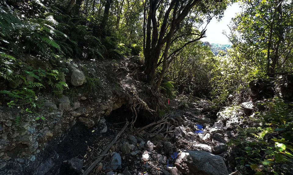
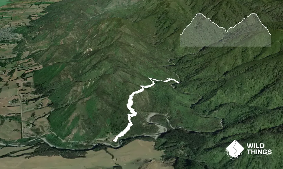
Tauherenikau Gorge Track
Last Updated: 26th Feb 2026
Open
Grunt Factor: 12 ?
Gnarl Factor: 45 ?
5.2km
375m
360m
291m

Trail Map
This Topo layer only covers NSW/ACT.
Switch to another map layer when viewing outside this area.
Switch to another map layer when viewing outside this area.


