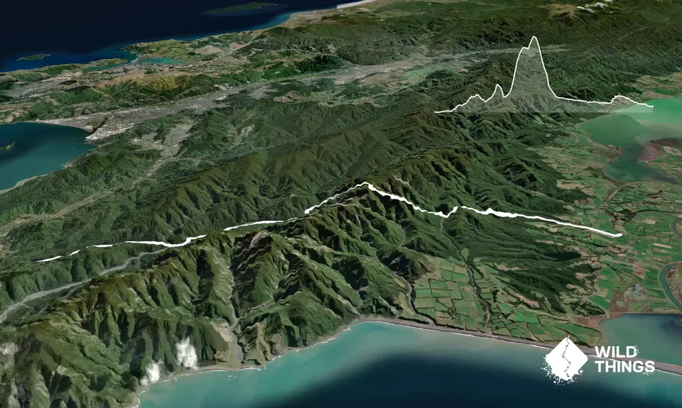
A nice adventurous route close to Wellington along some of the lesser traveled tracks in the region. No tops travel required so less committing than some of the Tararua routes. The only navigational challenge is finding the track after reaching Wharepapa Hut (if travelling East-West). Head upstream and keep an eye out on river right (left looking upstream) for ribbons or obvious signs of human traffic.
Once down in the Orongorongo Valley either follow the river downstream or take the big bend track if the river level is above your comfort level as multiple crossings are required. Exit the valley via the Catchpool Stream track at the bridge/toilets area (about 18.6km from start). Take this well marked track back to the carpark. Best done with a key swap if another group wants to go the reverse direction.
If you know of any public toilets near the trail start or on the route, please login and then let us know so we can update this section.
Grassy area on side of the road
31 km
27 minutes
Unknown
No
Hard.
After reaching Wharepapa Hut (if travelling East-West). Head upstream and keep an eye out on river right (left looking upstream) for ribbons or obvious signs of human traffic. If you reach the fork in the river you've gone too far. Track heads almost due West from the stream. If heading down the river in the Orongorongo valley don't miss the turn off to the carpark at Catchpool Stream. Keep an eye to river right and to see the distinctive bridge marking the start of the track.
Lots of water around depending on your appetite, but Wharepapa hut is your safest bet
The Orongorongo river can flood after heavy rain along with Wharepapa river and many other creeks/side streams. Pay attention to the forecast and remember the rivers can rise fast but also fall fast so if its high wait it out.
Do you have a suggestion on where to go afterwards for the best coffee / cake / breakfast / brunch / beer?
Awesome varied rugged terrain. For a great review of the track and challenges, see here: https://wtmc.org.nz/trip-report/papatahi-crossing-2/
This is west to east, and from trampers perspective, but having just run it October 2020, the descriptions are accurate. Easy to lose ‘trail’ coming down to Wharepapa Hut. Keep looking for orange triangles!
Brilliant route, wild and rugged. Great to do as a key swap, with parties going on either direction. We took 7 hrs, not push in g. Faster pair did 5:30 hr and they don’t muck around. Killian might do 2:45 but not sure any one else could ?
We don't store or share your location; it's only used for these features. You can continue without it, just without distance sorting and live map features.
Send to your phone
Scan the below QR code to open this trail on your phone.
Tip: position the QR code in your phone camera screen.