Last Updated: 4th Jan 2026
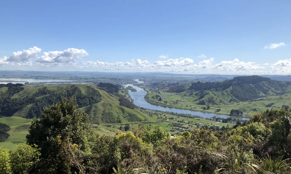
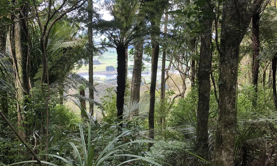
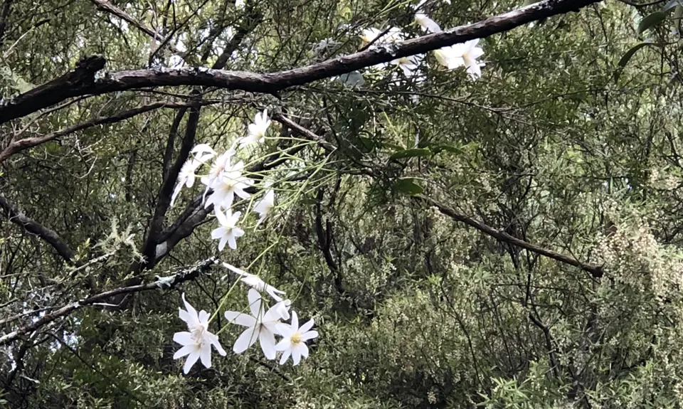
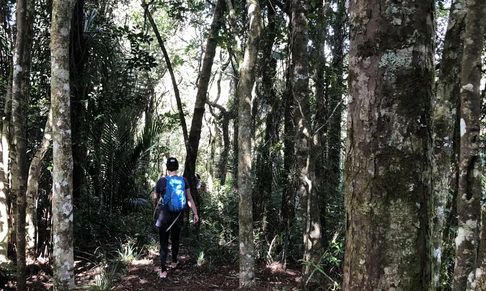
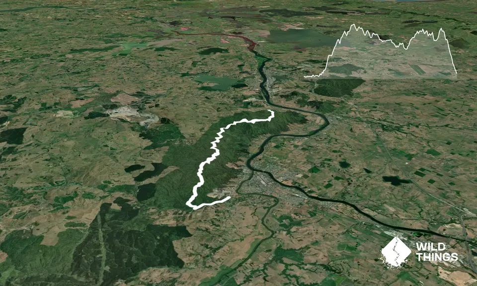
Hakarimata Traverse
Last Updated: 4th Jan 2026
Open
Grunt Factor: 31 ?
Gnarl Factor: 71 ?
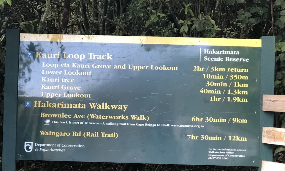
13.8km
920m
890m
381m
Trail Map
This Topo layer only covers NSW/ACT.
Switch to another map layer when viewing outside this area.
Switch to another map layer when viewing outside this area.


