Last Updated: 10th Feb 2024

Beginner

Save Trail Save

I've done it Done

Whiskey Creek

Gore, Southland

Submitted by Mike Tennent

Last Updated: 10th Feb 2024

Beginner

Save Trail Save

I've done it Done

Open

Grunt Factor: 12 ?

Gnarl Factor: 43 ?

6.3km

340m

340m

456m


Login as a VIP to see driving directions, distance and time.

Trail Map

Type of Run

Front country - easily accessible

Loop

Undulating, some big hills

Native bush

Plantation/exotic forest

Riverside

Run Makeup

10%
45%
20%
20%
5%

Farm Road / 4WD Track

Easy Single Track

Moderate Single Track

Technical Single Track

Untracked / Route only

Average Uphill Gradient: +12.6%

Average Downhill Gradient: -13.5%

Trailhead

Login as a VIP to see the trailhead information.

Estimated Times to Run

1:20

Slow

1:00

Moderate

0:40

Fast

As you drive into the park you cross a small single lane bridge, just after you cross the bridge look to your right and you will see the start of the trail. Carry on straight ahead to the carpark and just before the carpark you will see a DOC Dolomore Park sign... that is where you come out.

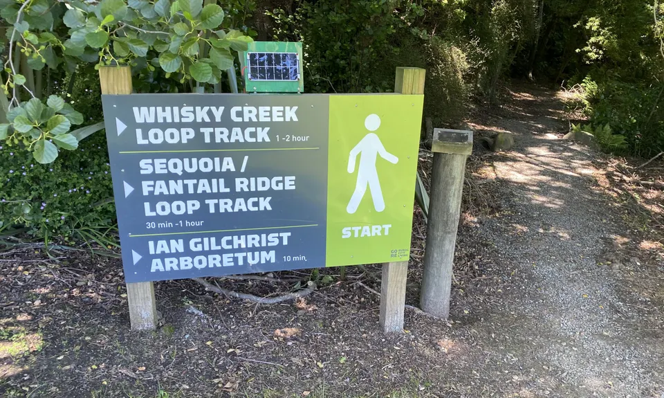
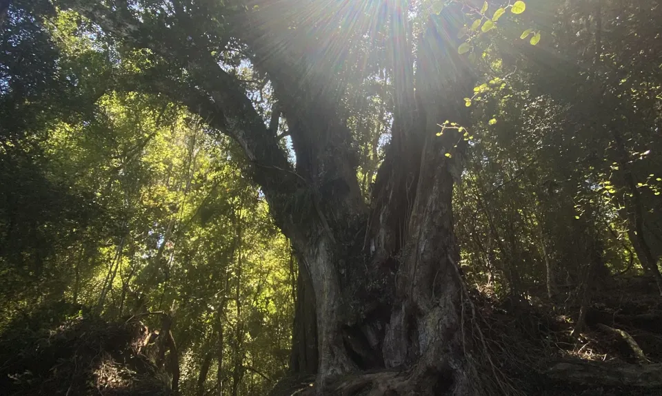
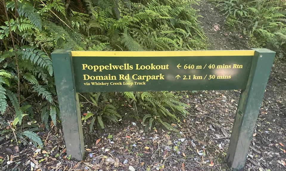
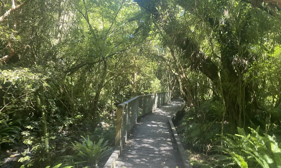
Once you have parked your car, head over the grassed area to the start of the trail. Whiskey Creek Track signs are very clear as you go and the early going is pretty easy with well formed park-like tracks. Eventually you will come to the Domain Rd Carpark, head over that and into the Dolomore Park on the other side and the trails get real.... a mix of easy, semi-tech and technical.

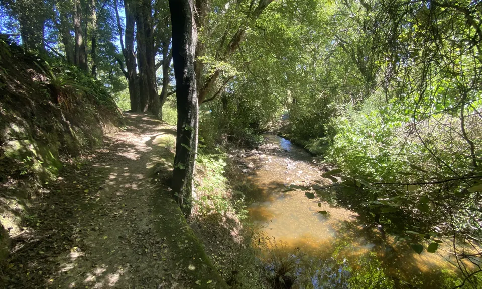
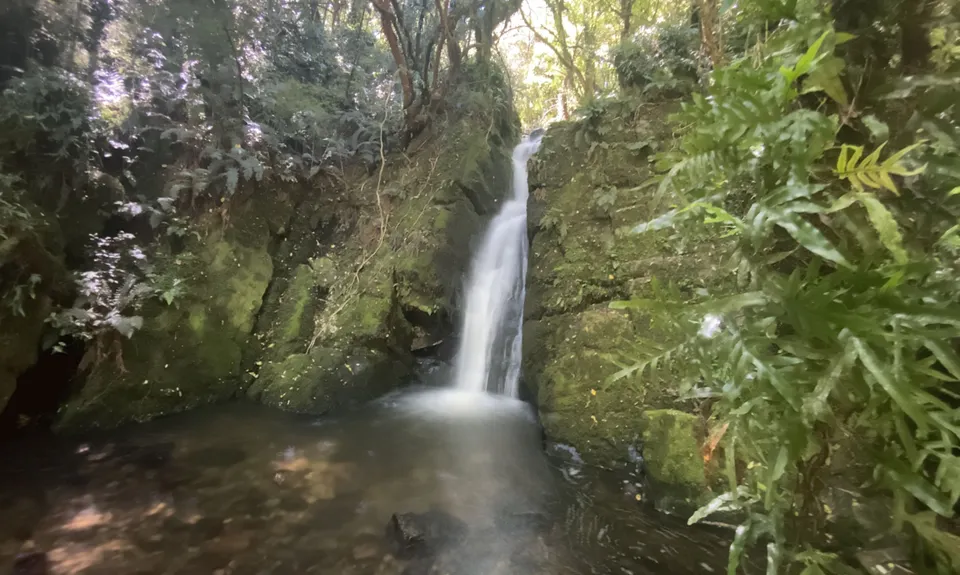
After a while you will come to a small 'Waterfall' sign. Take that trail to the left, down the steps and around to a lovely small waterfall. There is a well-used but unofficial track down to waterfall level if you want a better pic. Once back on the waterfall trail, carry on and it links back up with the main Whiskey Creek Trail.

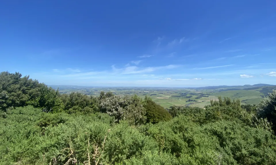
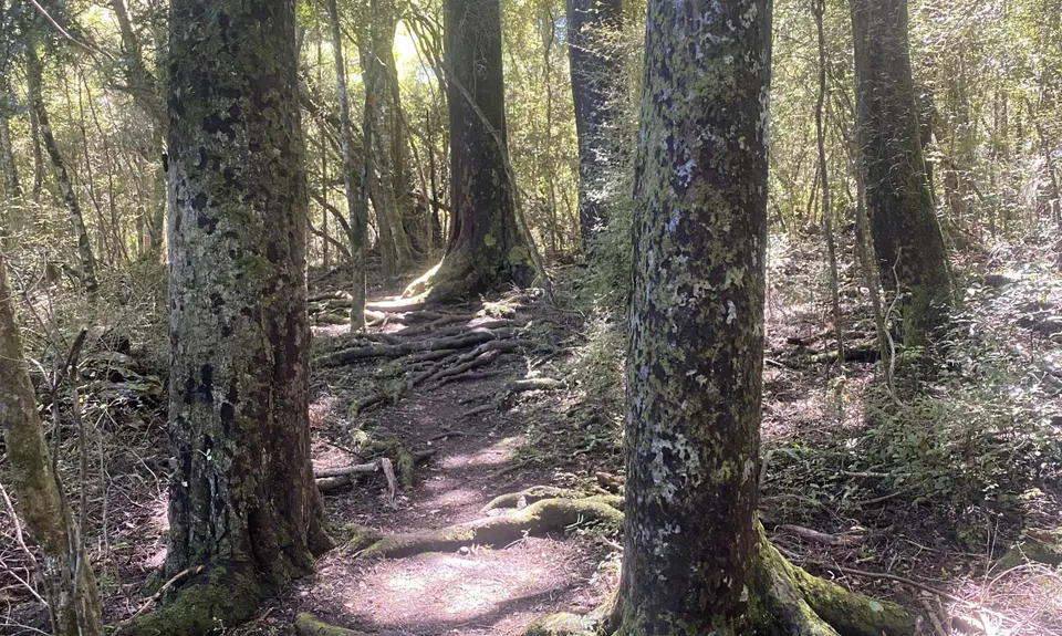
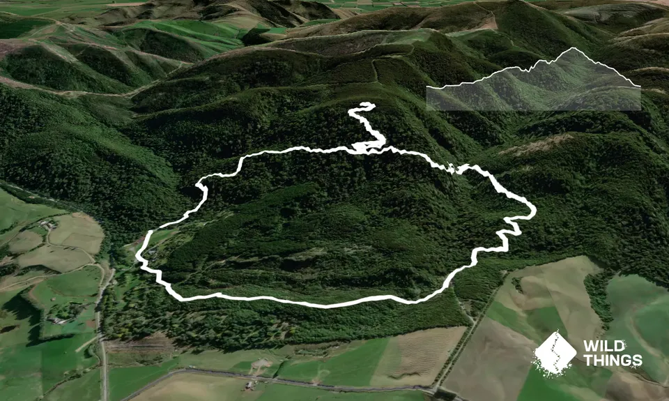
After the Falls the climbing starts in earnest and at about 3.5km you will come to the sign for the Lookout, turn right here and up you go. This section is technical with tree roots and mud aplenty, so care is needed both up and down. Up on top you get a massive vista of Southland. Once you have checked that out and taken a few pics, head back down and carry on the Whiskey Creek Loop. There are a few really great downhill sections from here to the end where you can really let loose. Just before the end there is the intersection for the Dolomore Park Loop which you can do if you have energy left, otherwise head straight ahead to the carpark.

Lovely views over Southland and a nice wee waterfall.

Large carparking area with toilets

13 km

14 minutes

Unknown

No

Easy.

Just after the top carpark (Domain Rd) there is a trail to the right - ignore it. Also at the end head straight through the 4 way intersection.

Very patchy.

Short-sleeved thermal top, Windproof jacket, Beanie/thermal headwear, Whistle, First aid kit, Extra food for emergencies, Cellphone, Map

There is a stream early on and at the end, plus the waterfall stream in the middle.

The climb to the Lookout can get very muddy in winter.

Mud and tree roots are really the only things to watch for.

Trail Legend

Kyle Cloete

Kyle Cloete

has completed Whiskey Creek 5 times in the last year.

Learn about Trail Legends.

You and Whiskey Creek

As a VIP member you can record private notes for this trail, see all of your times and more.

Register Now

Already have an account? Login now

Trail Reviews

Be the first to submit a review for Whiskey Creek!

Login to submit a review

Trail Running Community

Find people who are interested in or have completed this trail run.

You must register or login to view this feature.

Register Now

Other trails nearby
Croydon Bush - Richardson loop

Croydon Bush - Richardson loop

Length: 6.2km

Level: Intermediate

Black Gully - Blue Mountains

Black Gully - Blue Mountains

Length: 8.5km

Level: Beginner - Intermediate

Find more trails and peaks nearby