Last Updated: 25th Nov 2025
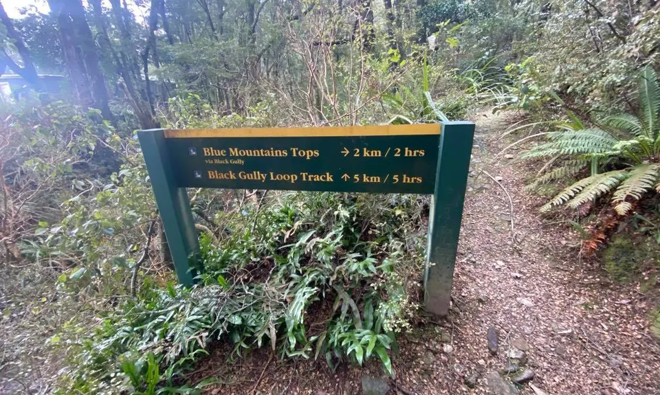
Black Gully - Blue Mountains
Last Updated: 25th Nov 2025
Grunt Factor: 19 ?
Gnarl Factor: 66 ?
8.5km
600m
600m
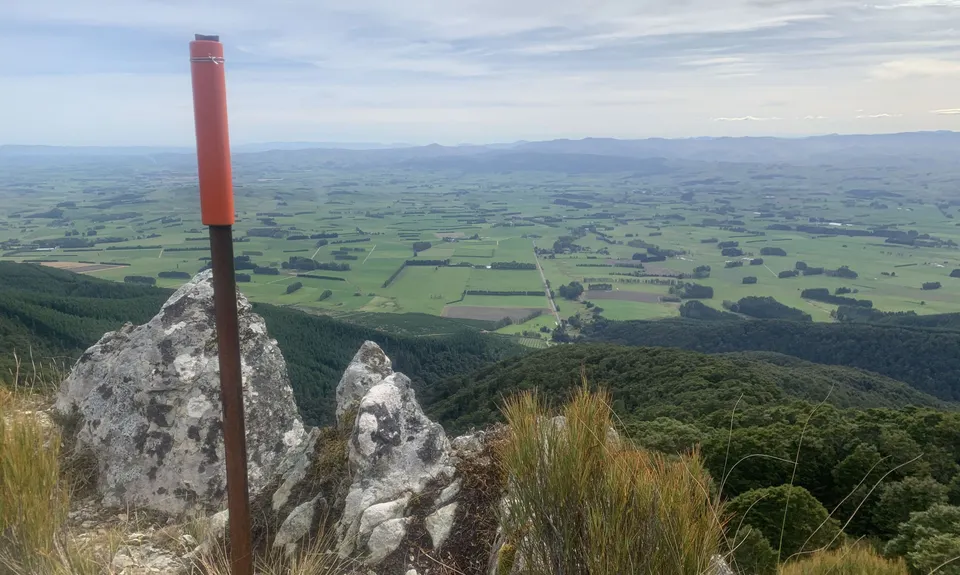
938m
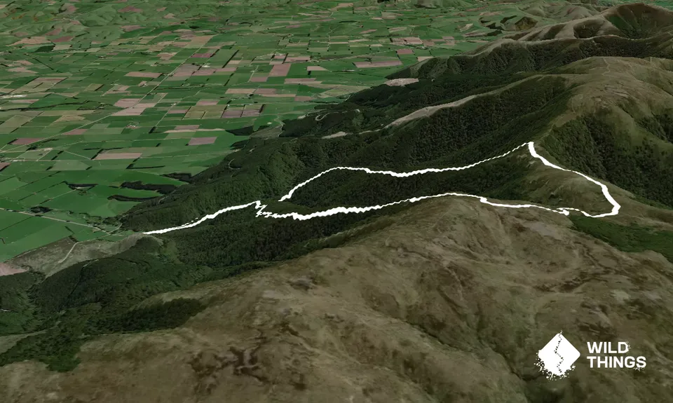
Trail Map
This Topo layer only covers NSW/ACT.
Switch to another map layer when viewing outside this area.
Switch to another map layer when viewing outside this area.


