Last Updated: 29th Sep 2025
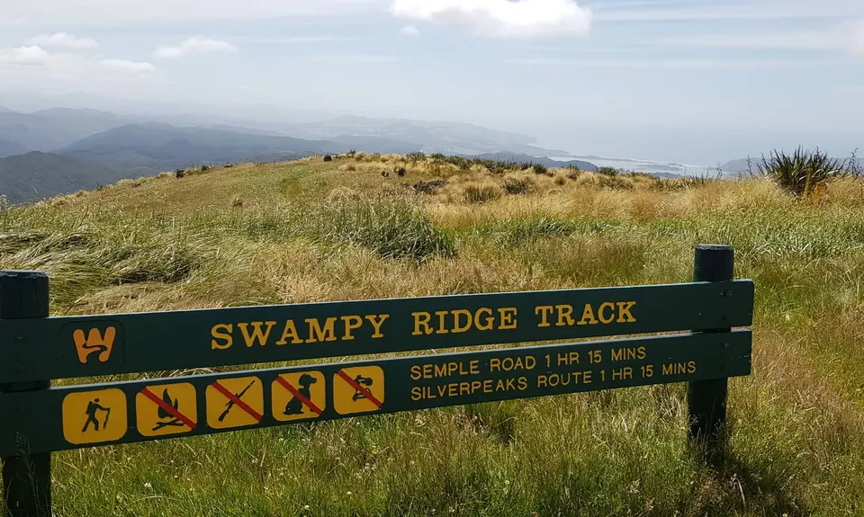
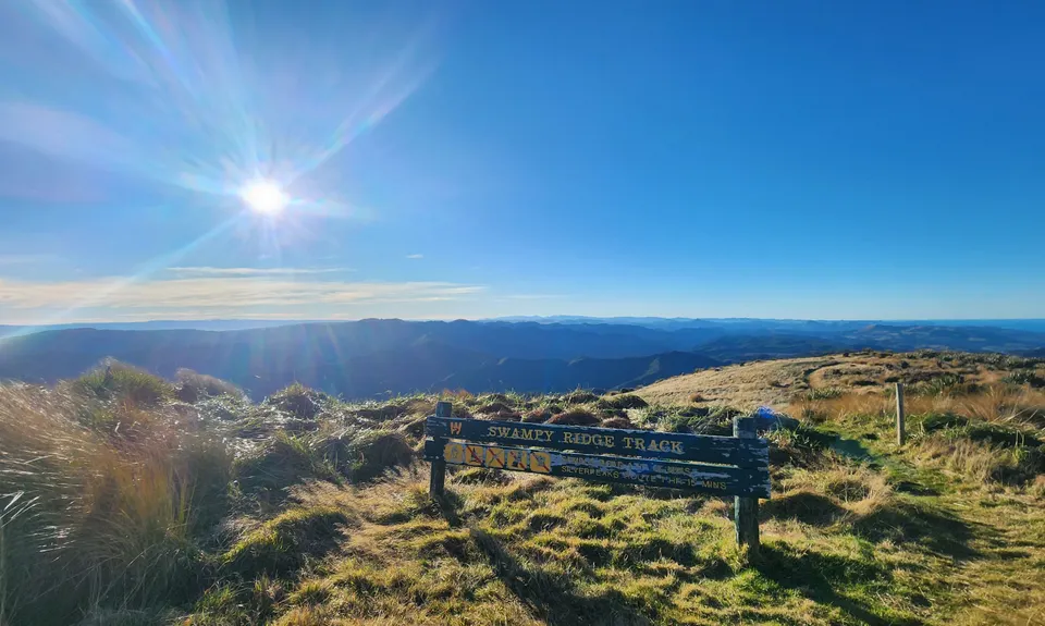
Swampy Ridge Track
Last Updated: 29th Sep 2025
Open
Grunt Factor: 17 ?
Gnarl Factor: 43 ?
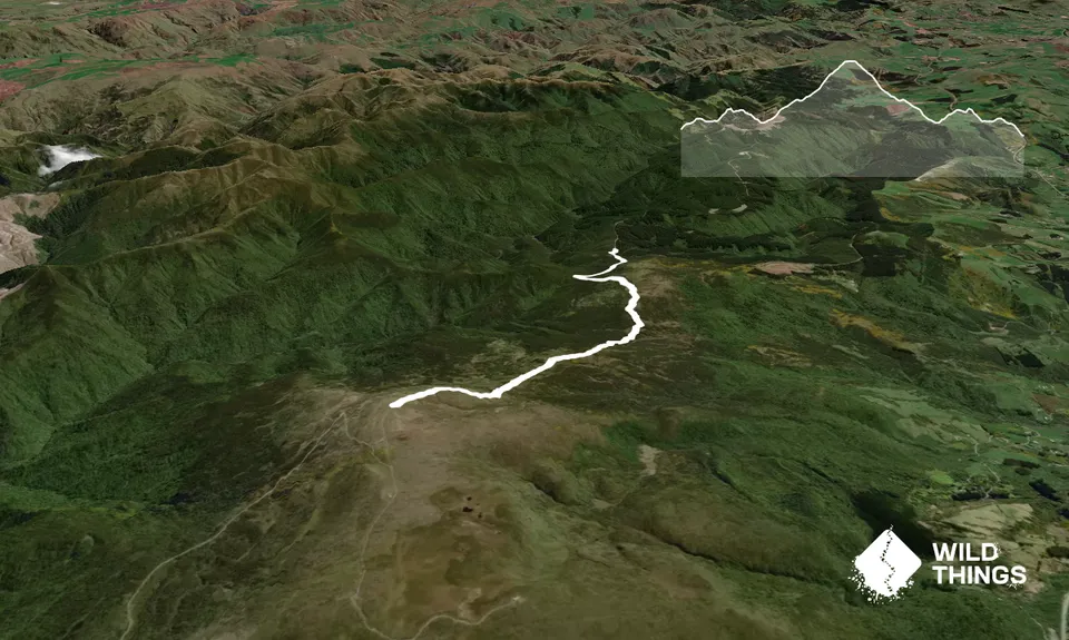
10.0km
480m
480m
739m
Trail Map
This Topo layer only covers NSW/ACT.
Switch to another map layer when viewing outside this area.
Switch to another map layer when viewing outside this area.


