Last Updated: 21st Sep 2023
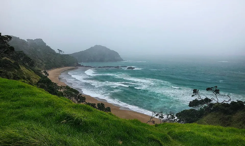
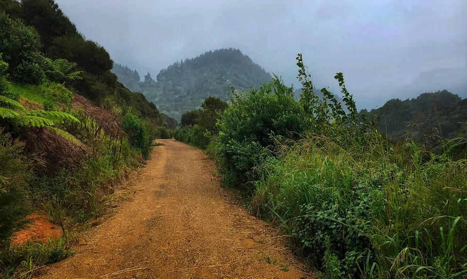
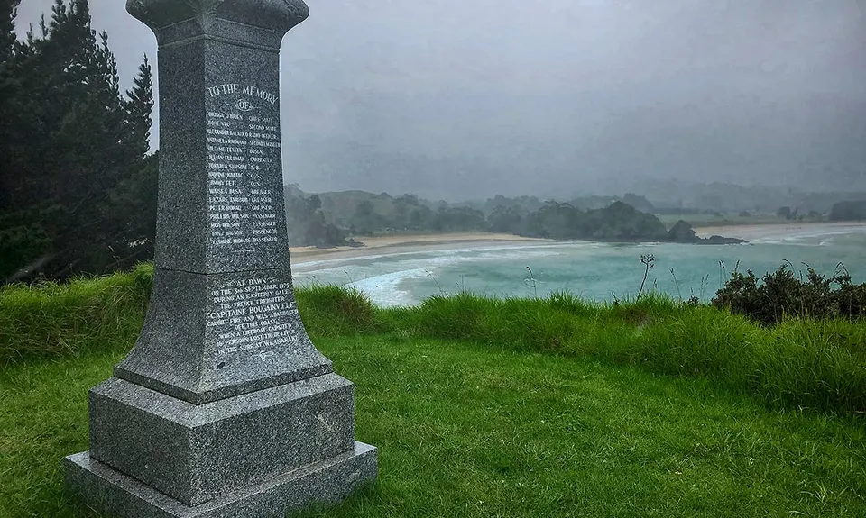
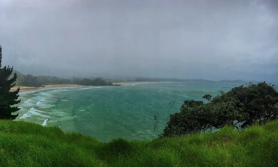
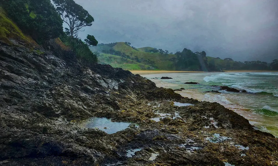
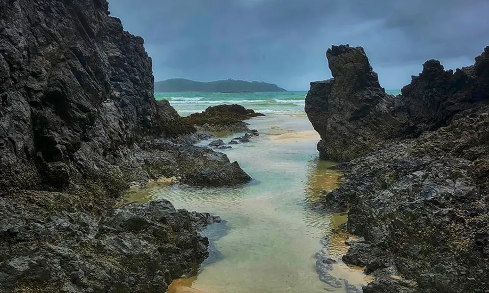
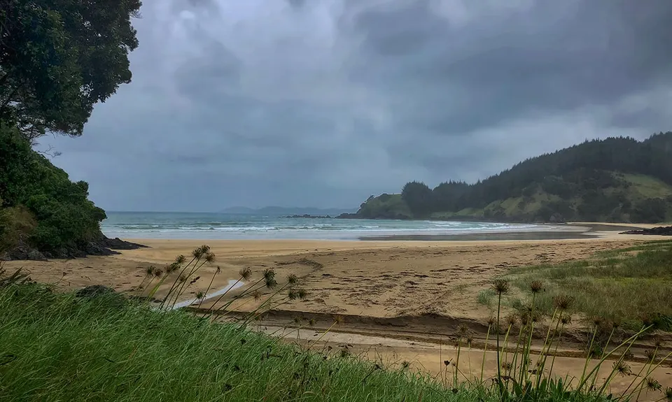
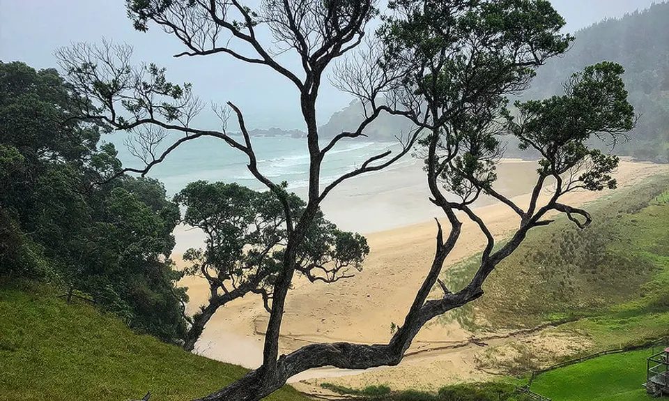
Whananaki Estuary and Bush
Last Updated: 21st Sep 2023
Closed More info
This track is currently closed: there are signs up and orange barrier netting at the entrance to the TA section of the track (Onekainga track) on Whananaki North road
Please notify us if this has changed.
Grunt Factor: 28 ?
Gnarl Factor: 69 ?
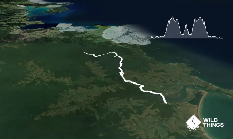
15.2km
710m
710m
220m

Trail Map
This Topo layer only covers NSW/ACT.
Switch to another map layer when viewing outside this area.
Switch to another map layer when viewing outside this area.


