Last Updated: 4th Jul 2026
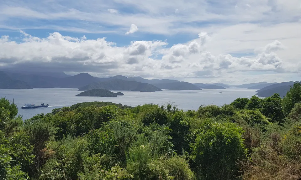
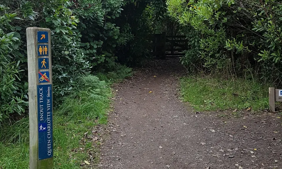
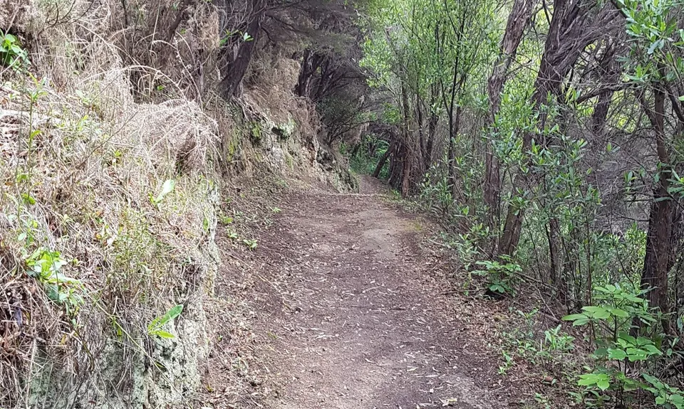
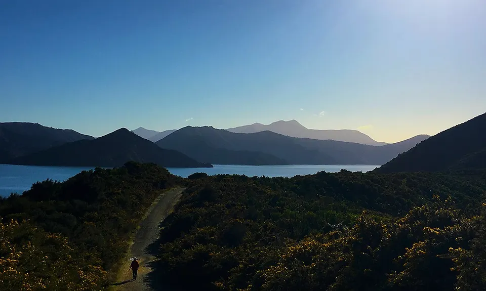
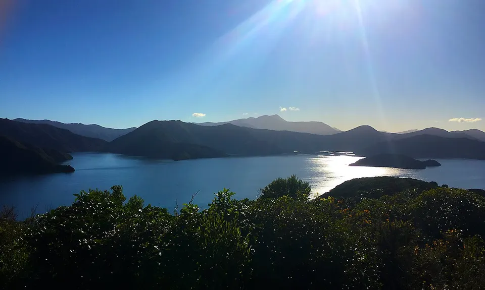
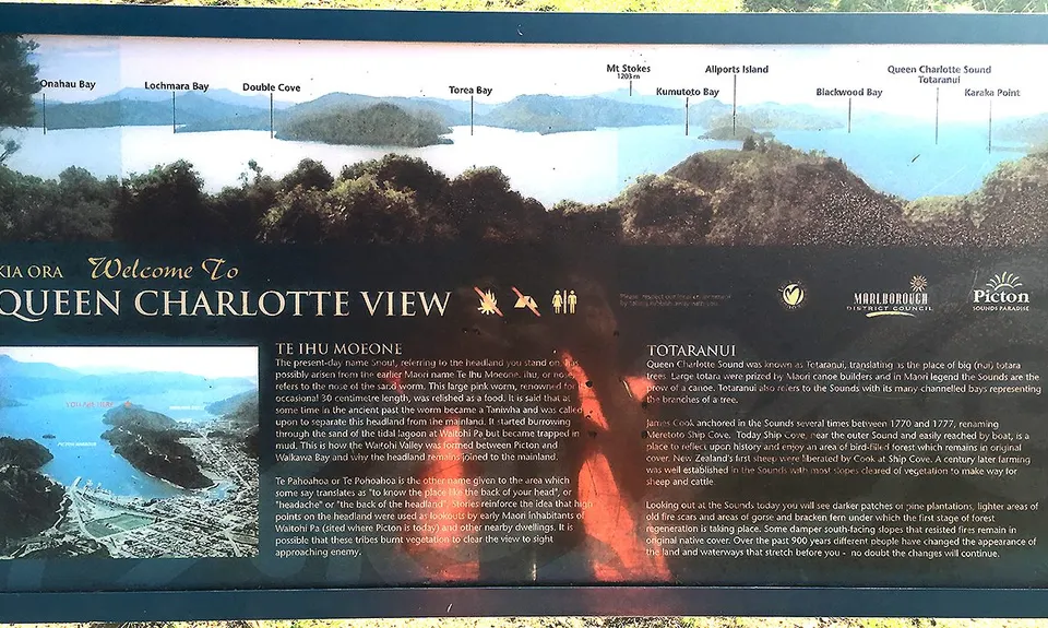
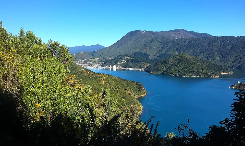
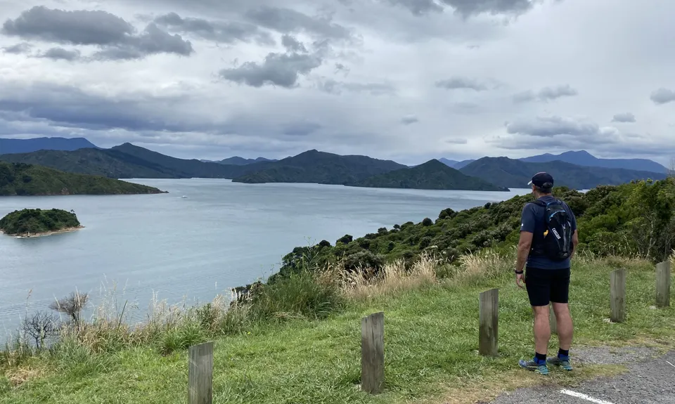
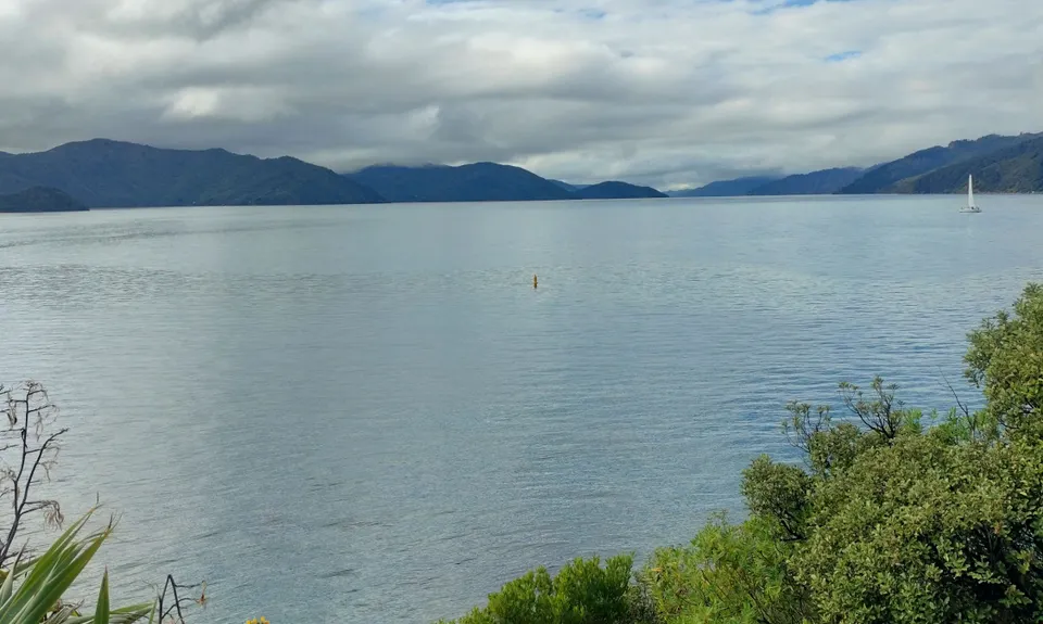
The Snout
Last Updated: 4th Jul 2026
Open
Grunt Factor: 19 ?
Gnarl Factor: 45 ?
13.0km
420m
420m
164m


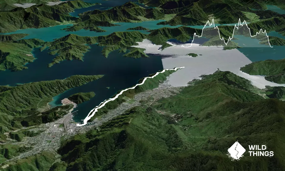
Trail Map
This Topo layer only covers NSW/ACT.
Switch to another map layer when viewing outside this area.
Switch to another map layer when viewing outside this area.