Last Updated: 19th Apr 2026
Stoked!
Last Updated: 19th Apr 2026
Open
Grunt Factor: 31 ?
Gnarl Factor: 89 ?
8.0km
690m
690m
1205m
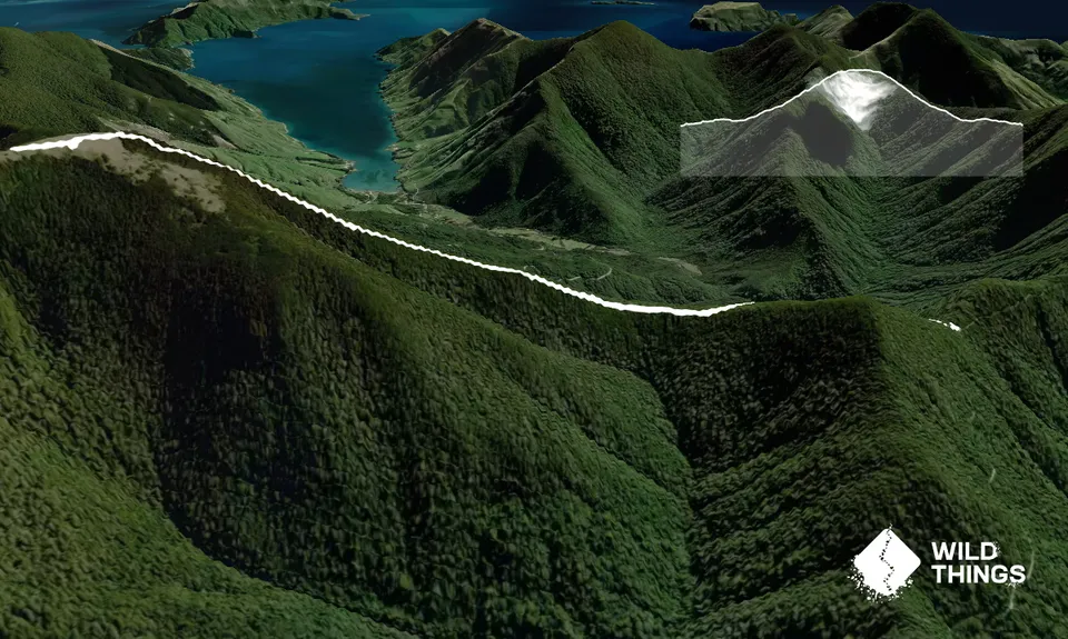
Trail Map
This Topo layer only covers NSW/ACT.
Switch to another map layer when viewing outside this area.
Switch to another map layer when viewing outside this area.