Last Updated: 7th Mar 2026
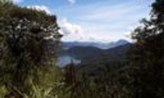
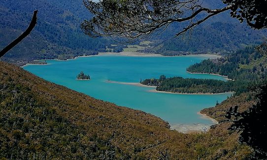
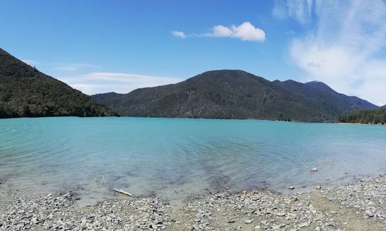
Nydia Track
Last Updated: 7th Mar 2026
Open
Grunt Factor: 39 ?
Gnarl Factor: 43 ?
27.0km
1100m
1100m
380m
.jpg?tr=w-542,h-325)
.jpg?tr=w-542,h-325)
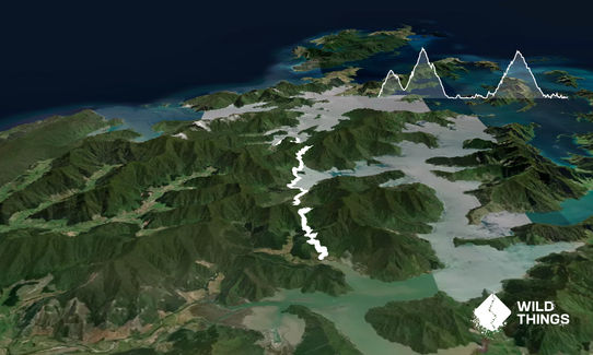
Trail Map
This Topo layer only covers NSW/ACT.
Switch to another map layer when viewing outside this area.
Switch to another map layer when viewing outside this area.


