Last Updated: 26th Jan 2026
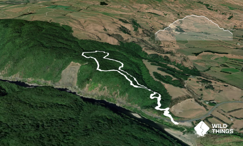
Wharite Peak Double
Last Updated: 26th Jan 2026
Open
Grunt Factor: 46 ?
Gnarl Factor: 42 ?
30.0km
1700m
1700m
950m
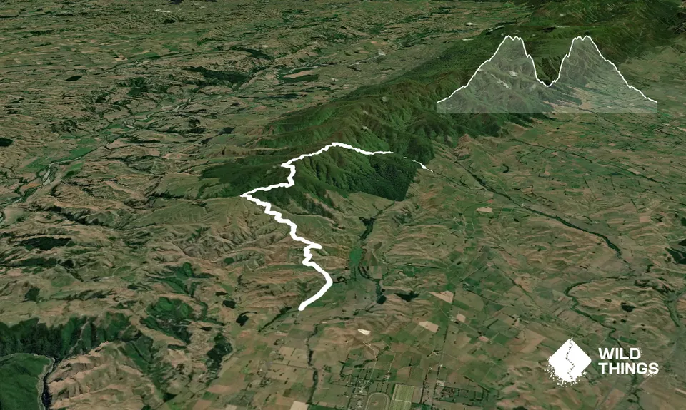
Trail Map
This Topo layer only covers NSW/ACT.
Switch to another map layer when viewing outside this area.
Switch to another map layer when viewing outside this area.