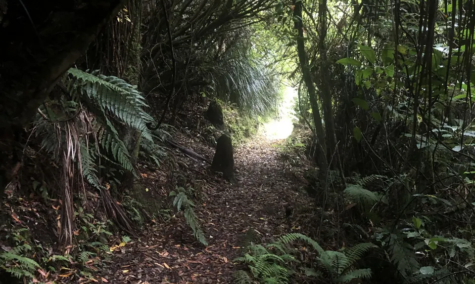
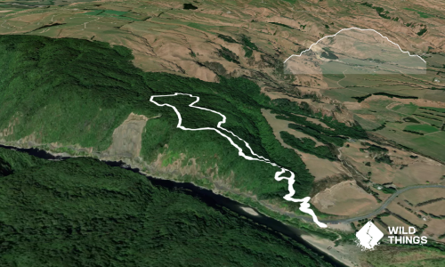
Starting at the carpark, the first thing you will see is a sign just over the fence for the farm route...DON'T GO THAT WAY! Look to the left and you will see a signboard with some info on it... head to the left of that and follow the trail.
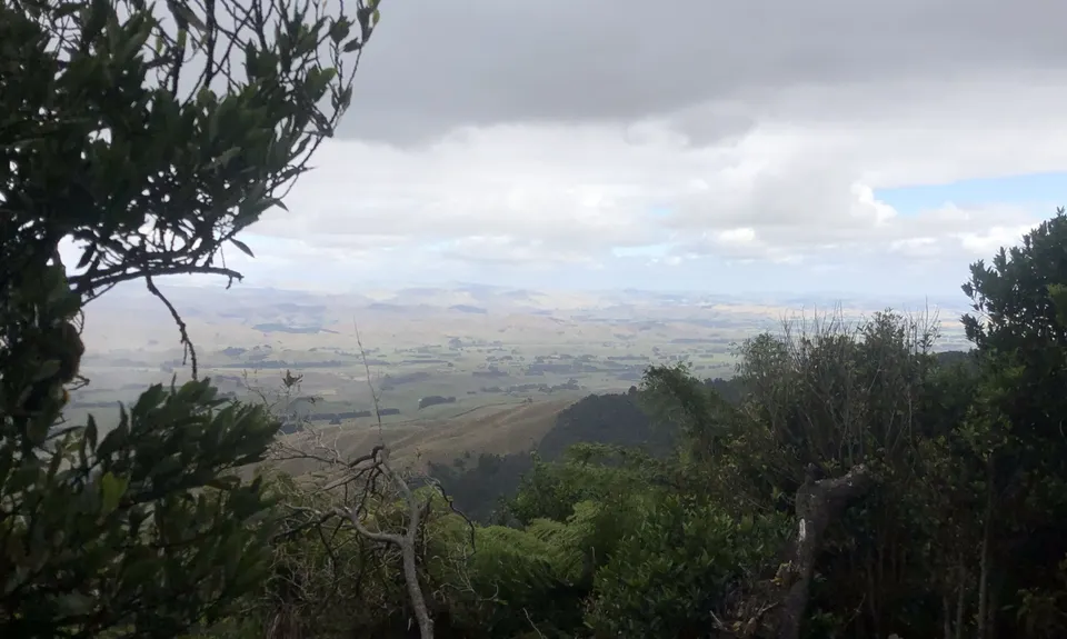
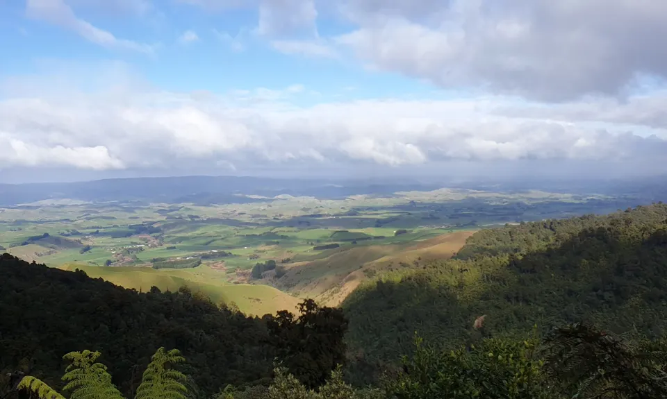
The slope is really nice, having been designed way back for mining gear to go up and down. About 2km in you will come to the first intersection, a trail veers off to the right and down (skip that but take note, we will go down there later), and 20 metres further on the main trail to Wharite Peak trail goes to the left... save that for another day and carry on towards the Mine.
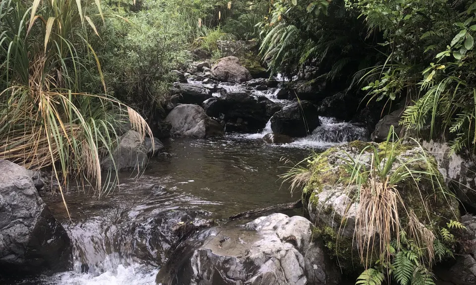
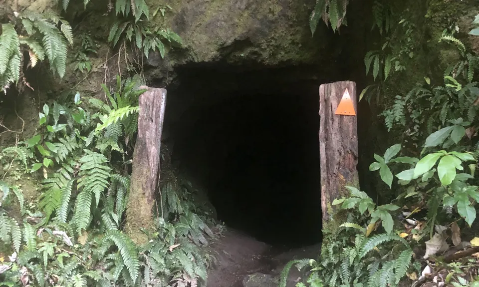
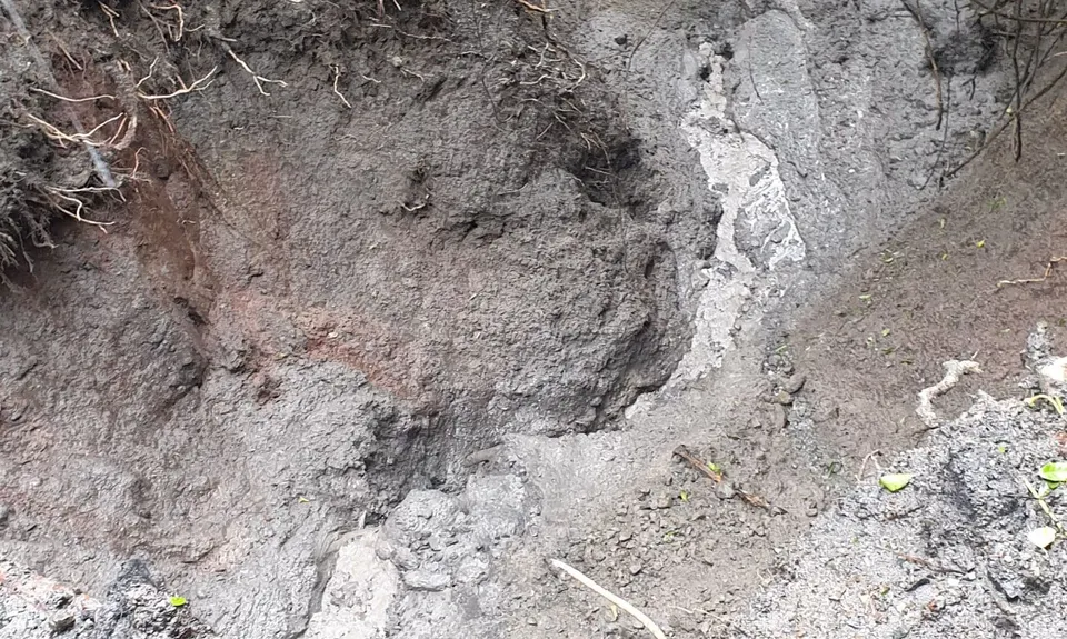
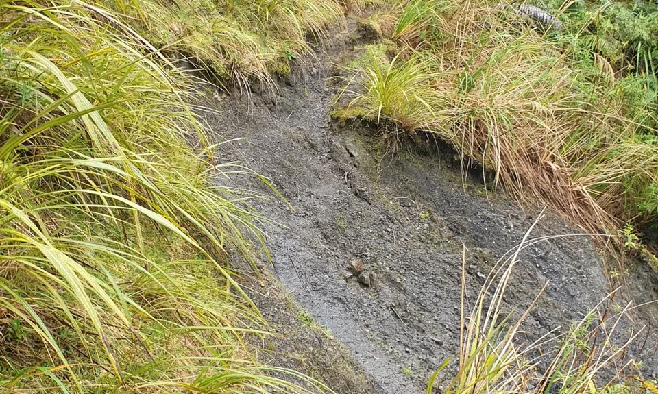
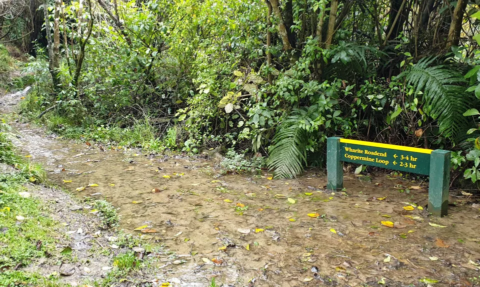
You will come to a sign warning you not to go further if the stream is up - TAKE NOTE OF THIS - there is lots of stream work after this, crossings and traversing your way upstream for quite a way. At times you will lose sight of an orange triangle, but don't despair, keep heading upstream and you will find one. Eventually you get to the signs for the old mine that served as an ammunition magazine in WW2. This requires another wee crossing of the stream but your feet are probably a bit damp by now anyway.
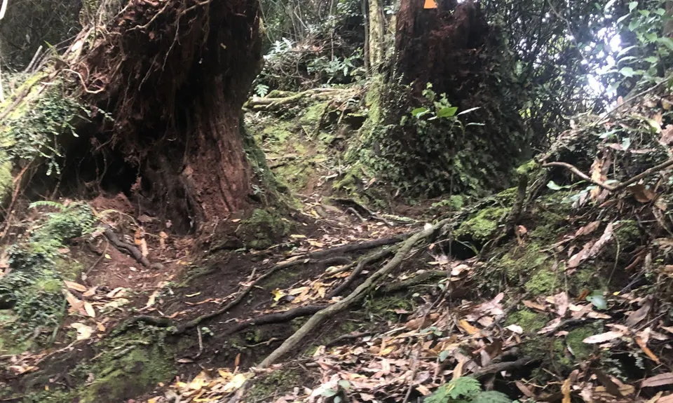
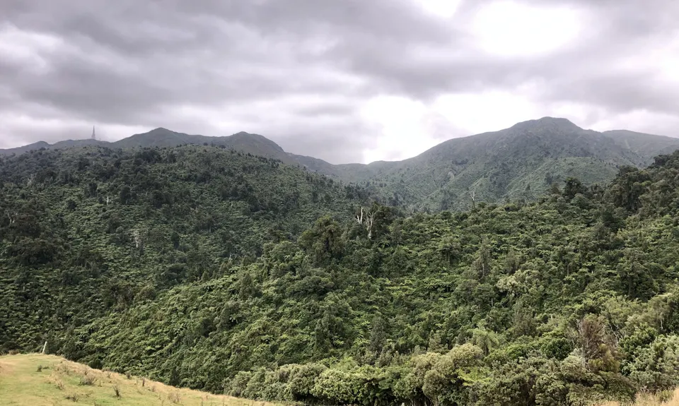
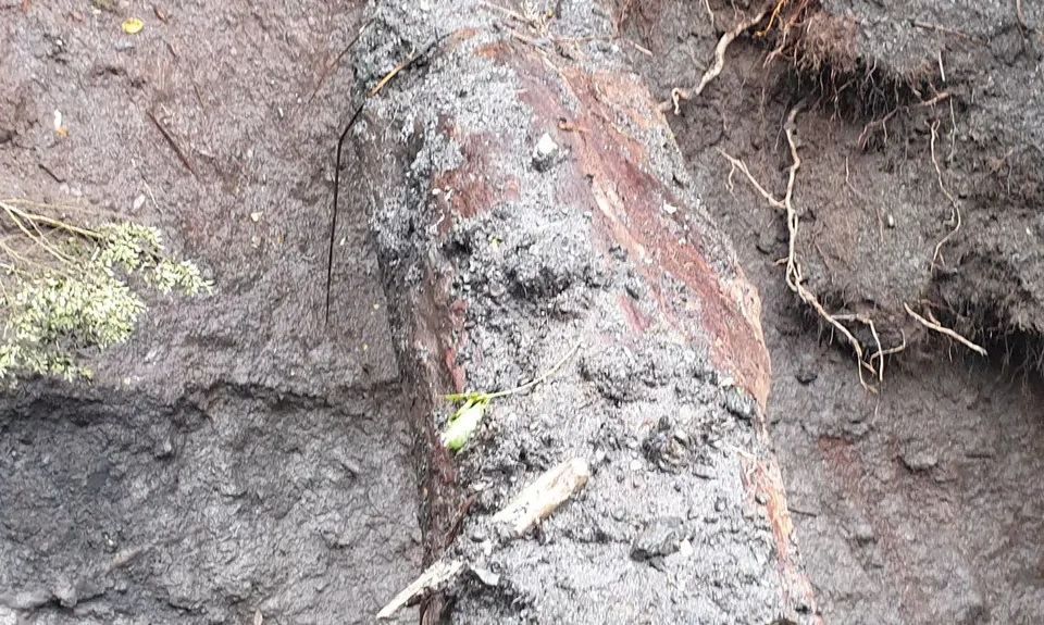
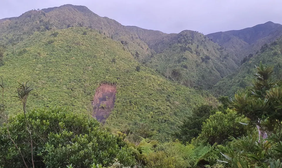
The mine looks to be still accessible, but you'll need a headlamp. After that, back over the stream and follow the sign up the hill to the Mine (about 450m). Once there you will find a sign telling you about the mines that have been filled in. Now retrace your steps all the way back to the turn-off previously mentioned at the 2km point. Turn left here and head down and over the stream (again) and then get ready to climb - 385 vertical in about 2.4km - often using root ladders to climb, a great test and a lot of fun (wouldn't want to try it on a muddy winter day tho). Several times you will think you have made the top, only to be disabused of that around the next corner.
Eventually though you will get there and the downhill is almost all runnable, a nice slope and you will cruise down (with an occasional little up) until you hit the fence for the farmland. The initial indication is to carry on down the bush side of the fence - DON'T - it soon becomes overgrown and unpassable. So climb over the fence into the farmland and follow the fenceline down. Eventually you will see a DOC sign and from there down you follow the white poles down a farm track. Just take care... towards the end the carpark will come into sight below you, after that and just before a little streamlet across the track there is a sharp right turn off the track you are on, that you can easily miss. Once you see it you will see the white poles down the hill. One more stream crossing and you are back at the car!