Last Updated: 21st Mar 2026
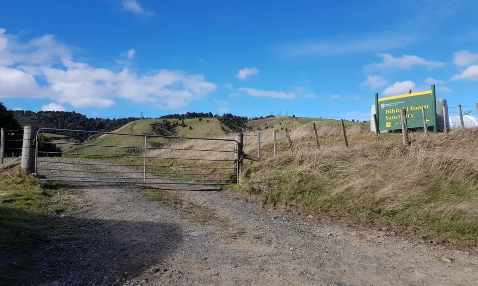
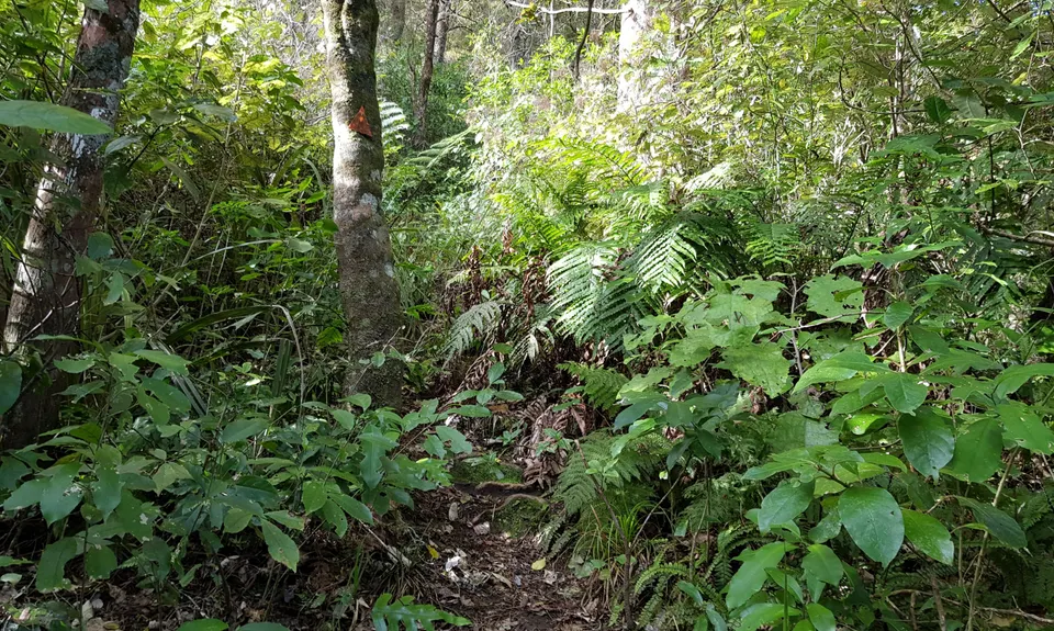
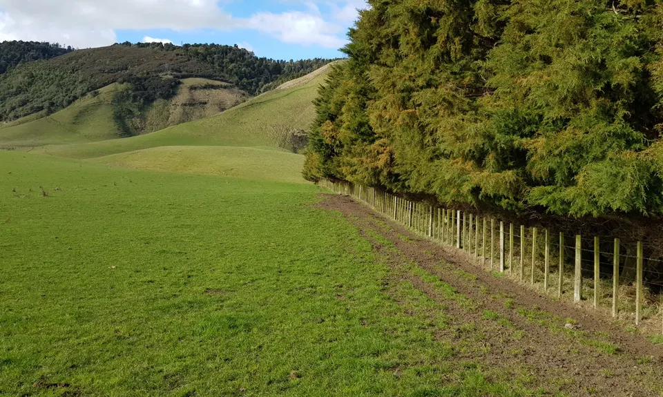
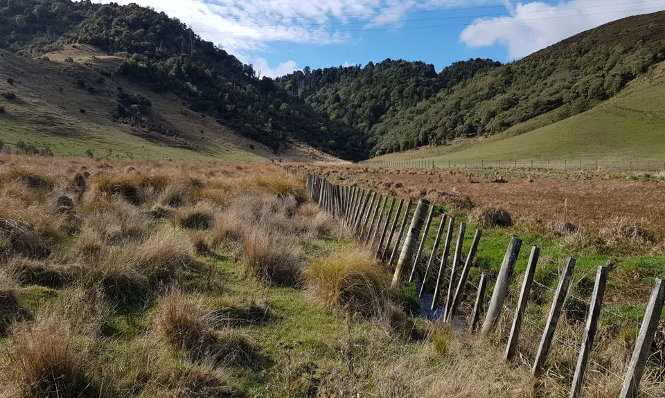
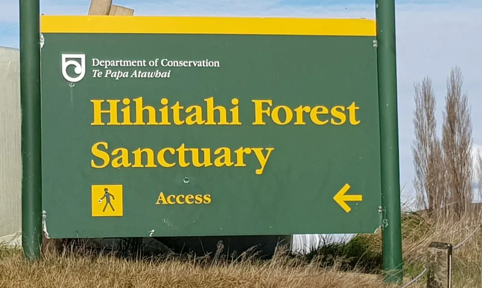
Hihitahi Highpoint
Last Updated: 21st Mar 2026
Open
Grunt Factor: 19 ?
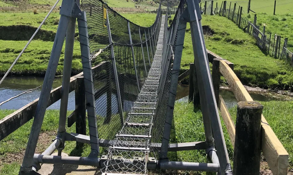
Gnarl Factor: 60 ?
9.3km
500m
500m
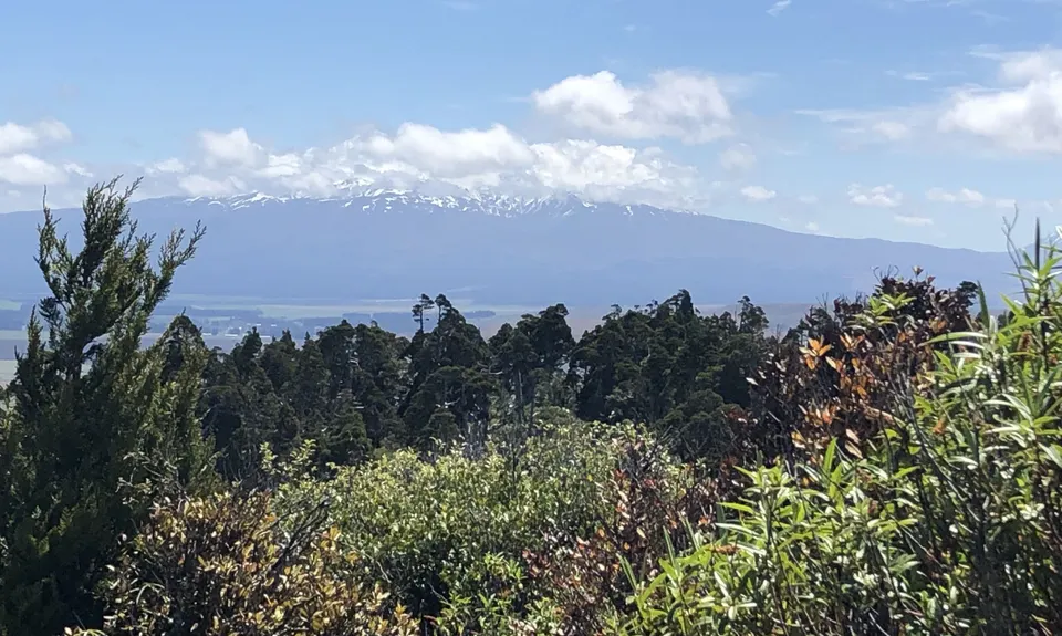
1116m
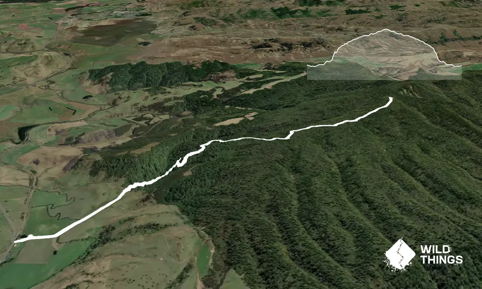
Trail Map
This Topo layer only covers NSW/ACT.
Switch to another map layer when viewing outside this area.
Switch to another map layer when viewing outside this area.


