Last Updated: 21st Sep 2023
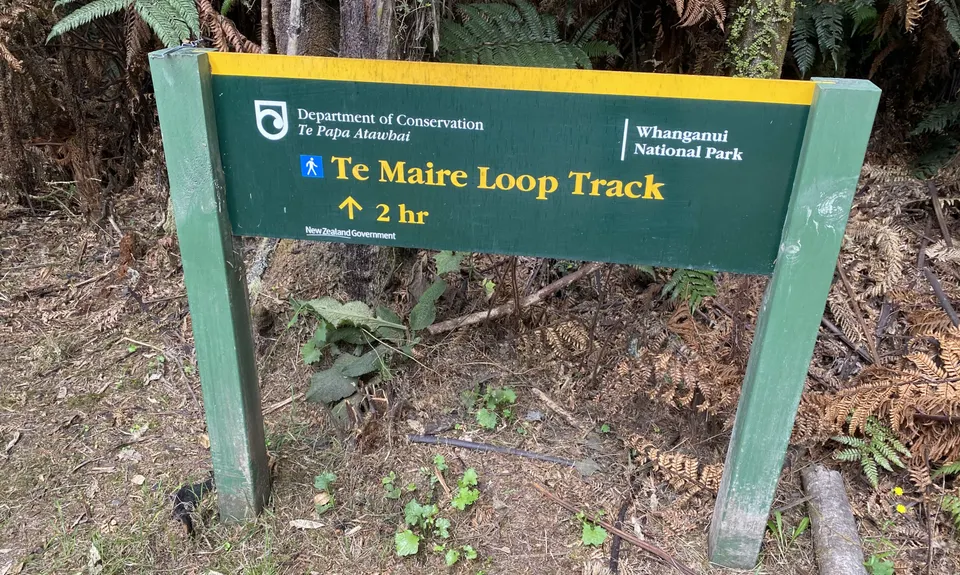
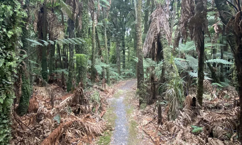
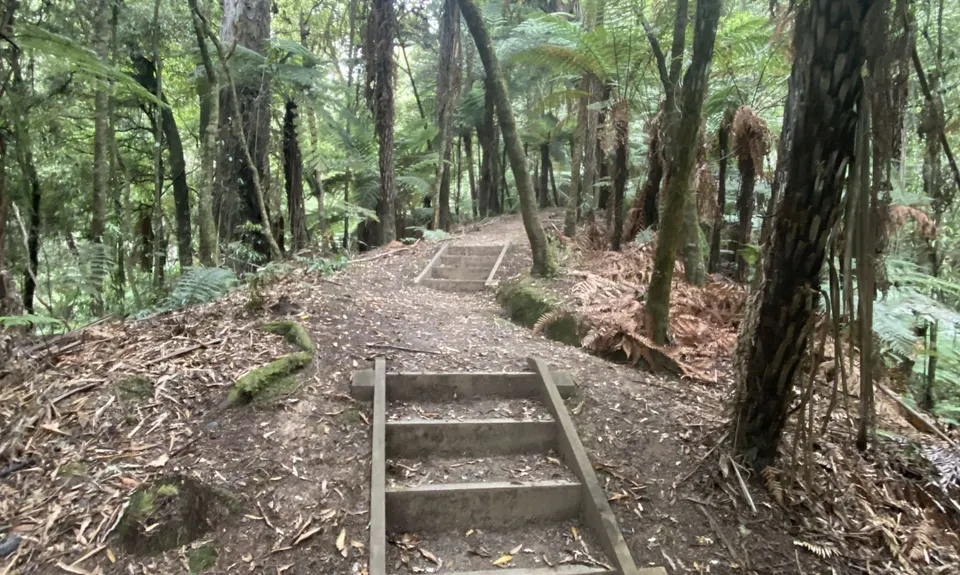
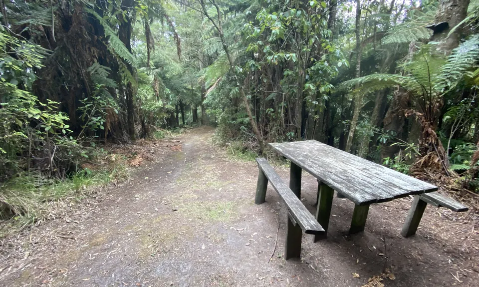
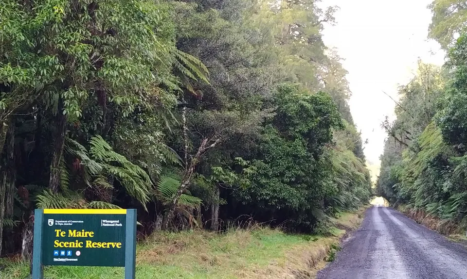
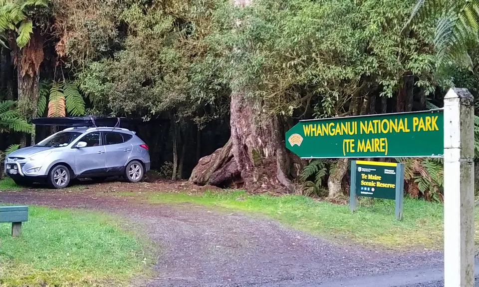
Te Maire Track
Last Updated: 21st Sep 2023
Grunt Factor: 8 ?
Gnarl Factor: 25 ?
4.0km
220m
220m
345m

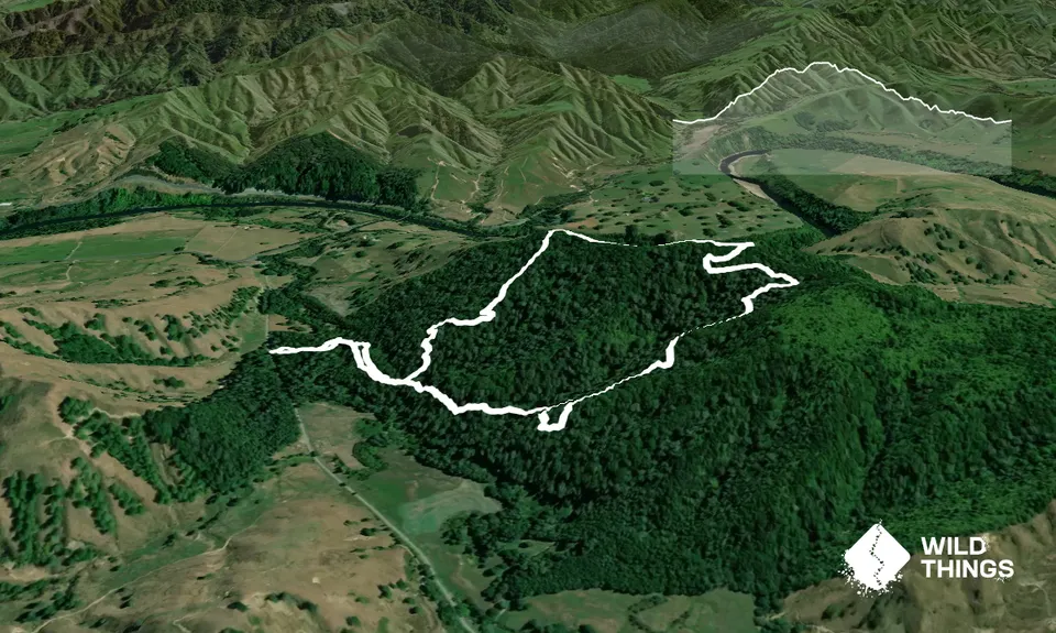
Trail Map
This Topo layer only covers NSW/ACT.
Switch to another map layer when viewing outside this area.
Switch to another map layer when viewing outside this area.


